Hubbard Brook Preserve / Scovill Loop Trails

CFPA Blue Blaze Trail

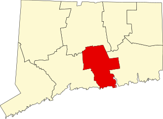
75 acres in Middletown, CT

Parking: Medium lot near 3606 River Rd, Middletown, CT 

Trail Map          Trails: 2 miles         Rating: ★★★★☆


This great out of the way property is trailed from the banks of the Connecticut River up to a great overlook with views downriver.

Hiking

Trails here are effectively broken into three sections: the Scovill Loop North, Scovill Loop South, and the Overlook Trail.

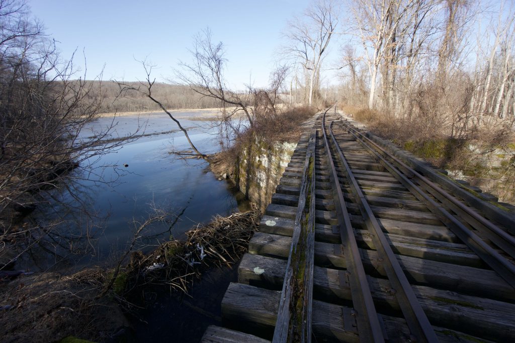
We’ll get the Scovill Loop South out of the way first.  This short 0.6 miles trail is located off the back right corner of the parking area heading downhill into thick overgrowth.  It is the least traveled but is passable if you push through some of the vines growing over the path.  There are a couple interesting foundations buried in the growth that were a mill site though I can’t find much history there.  The backside of the loop has views of a marshy pond and a small ridge above the old rail line.

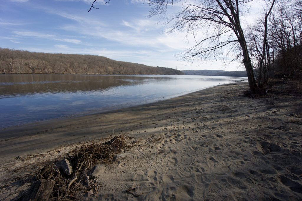
The 1 mile Scovill Loop North is the most popular trail, it starts off to the left of the parking area or directly off the backside.  I generally take the left side, but the other direction takes you down to the Connecticut River faster.  Skirting the edge of the open field the trail passes Moellers Pond before descending into the woods to the cross the outflow stream on a rocky bridge.  The loop winds through thick forest dotted with eye catching boulders.  It then descends from the high bank of a marsh to the former rail line of the Connecticut River Railroad which has been abandoned since at least the 1980s.  After walking down the tracks a short trail will take you a sandy beach along the Connecticut River complete with picnic table viewpoint across the water to Hurd State Park.  Trails will then take you directly back to the parking area.

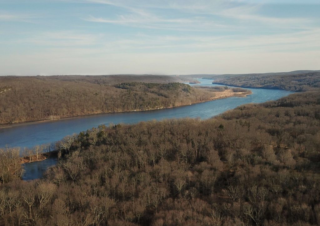
The overlook trail is across the road from the parking area and climbs 0.4 miles almost continuously up hills, over rocky scree, and through dense bush to reach a small rock overlook. Looking southeast you’ll see a long stretch of the Connecticut River as it bends around Higganum Meadows WMA and between the hills of Haddam Neck.

From the CFPA website,

“It is a beautiful property with considerable conservation value: upland and wetland forest stands, two ponds, streams, high rocky ledge, scenic views, wildlife habitat, and a stretch of western bank of the Connecticut River itself.” – Adam Moore, former CFPA Executive Director

History:

Preserved in 2007 when Connecticut Light & Power (now Eversource) granted a 75-acre conservation restriction to CFPA.


Links:

Peter Marteka – Finding A Stunning View Of The Connecticut River From The Top Of Hubbard Brook Preserve (2013)

Peter Marteka – Preserving A Piece Of The Connecticut River (2011)

CFPA – Scovill Loop Trails

The information shown here is for general reference purposes only. exploreCT.org gives no warranty, expressed or implied, as to the accuracy or reliability of this data. Parking in all areas, whether designated here or not, is at your own risk. exploreCT.org is not responsible for any damage or loss to vehicles or contents.
Last updated February 17th, 2020

Video

Visited 2752 times, 1 Visits today

Related Listings

Talcott Mountain

★★★★★

41.835607, -72.791504

Talcott Mountain Connecticut State Park 574 acres in Avon, Bloomfield, and Simsbury, CT Parking: Lots of parking near 560 Simsbury Rd, Bloomfield, CT Trail Map     …

Shenipsit Trail: Dickinson Rd

★★☆☆☆

41.649529, -72.518351

Shenipsit Trail: Dickinson Rd Blue Blaze Trail and Connecticut State Forest in East Hampton and Glastonbury, CT Parking: Shoulder parking past 96 Dickinson Road, South Glastonbury, CT… Read more…

Walker Mountain

★★☆☆☆

41.975883, -72.140336

Yale Forest: Walker Mountain Connecticut Blue Blaze Trail in Ashford and Union, CT Parking: North end: Shoulder parking just east of the main entrance to Bigelow Hollow… Read more…