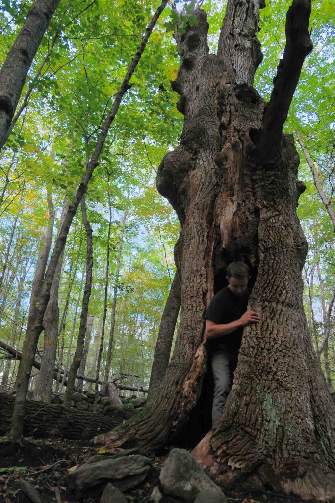
James L. Goodwin State Forest

Connecticut State Forest

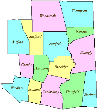
2,003 acres in Hampton and Chaplin, CT

Parking: Lot at 23 Potter Rd, Hampton, CT

Trail Map               Trails: 10 miles             Rating: ★★★★☆


Goodwin State Forest provides one of the most complete nature experiences in the quiet corner of Connecticut. There are over 10 miles of trails from the flat and easy Air Line section, the extremely rocky blue/white trail, or long distance options on the Natchaug Trail. 

There are boating and fishing options in Pine Acres Lake and Goodwin Conservation Center provides educational classes and guided hikes year round on everything from Master Naturalist Program to building a survival camp and animal tracking.

Hiking

Hiking here is effectively broken in three sections: West of the Pond, East of the Pond, and Brown Hill.

West of the Pond

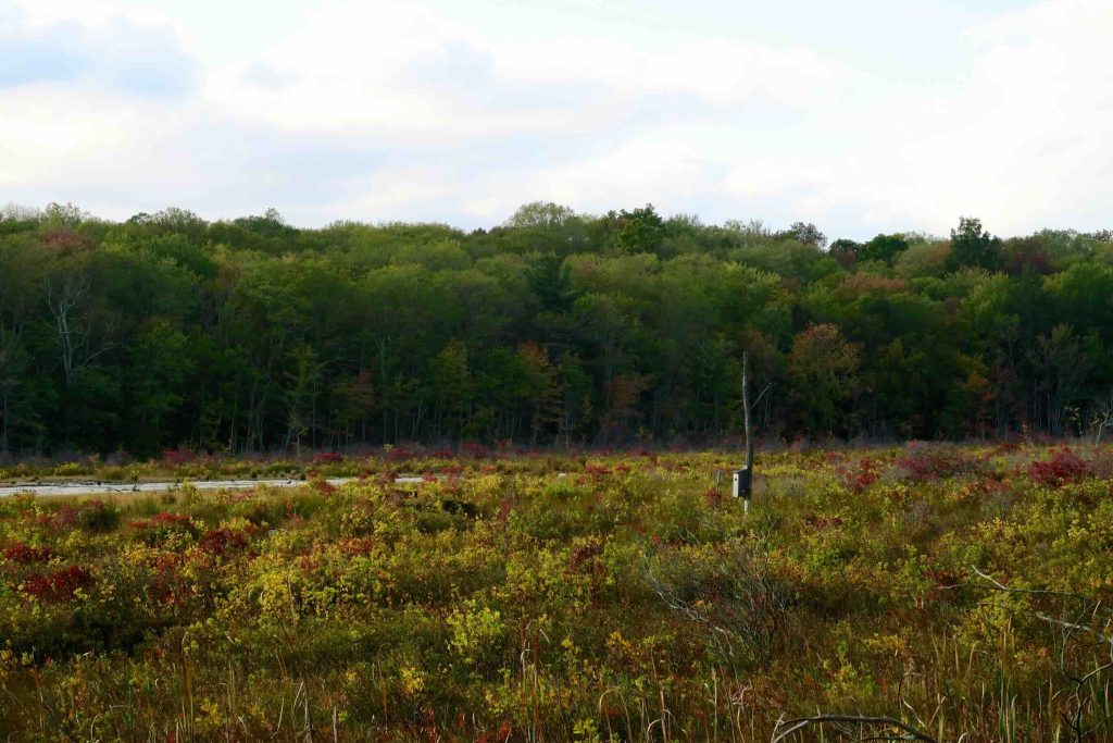
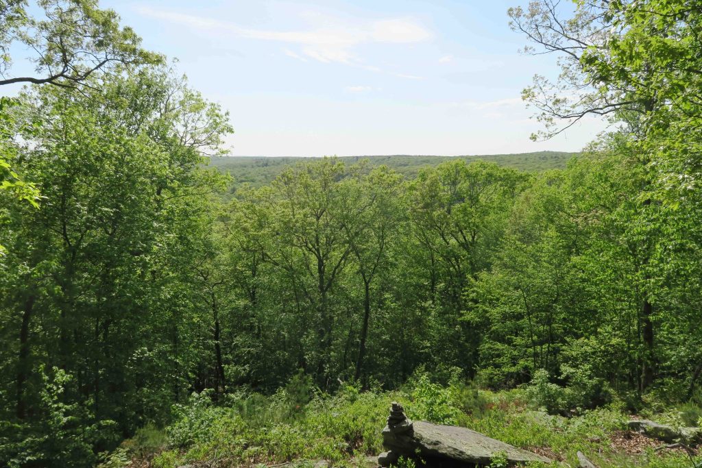
    • Goodwin is the southern terminus of the blue blaze Natchaug Trail. A bird blind that had long sat on this side of the pond along the trail was removed in 2021 and not replaced. The trail passes through a series of educational tree identifications before crossing two roadways and into a heavily logged section (sometime around 2020). Continuing on will pass Black Spruce Pond, old homestead foundations, and the Orchard Hill overlook.
    • The Air Line Trail State Park also has 2.2 miles that pass through the forest on this side providing a very popular long wide flat trail where you’ll often see dog walkers and cyclists.
    • Either of these two trails can be used to create a 4-6 mile loop hikes around Pine Acres Pond.

East of the Pond

    • Shorter hikes can be found heading east around the 135 acre Pine Acres Pond.  One of my favorite trails is the rocky blue/white trail along the waters edge.  The trail is flat but requires some careful footwork over the rocks, roots and occasional muddy sections. It passes the Fran Zumpano memorial bench, which was erected in 2020 in memory of a longtime volunteer before joining the red trail next to Governor’s Island after about a mile.  I filmed a hike through this section in May 2019 taking in the abundant wildflowers, birds, and critters along the way. 

Brown Hill

    • This area can be accessed independently by parking at the bend on Old Route 6.  The yellow trail here starts alongside the Brown Hill Marsh and its earthen dam.  The trail loops around the forested eastern side of the marsh until reaching Cedar Swamp Rd.  A very short road walk leads back into the woods through a meadow trail junction and down to an old impoundment among the pines.
    • This section also has access to the 60 acre Maurice and Rita Edwards Preserve, technically a Hampton town park but contiguous and connected with the larger state forest.

The Rest of the Park

Other features include the 1.6 acre Richard D. Haley Native Plant Wildlife Gardens and the Forest Discovery Trail at the start of the Natchaug Trail. 

There is a pavilion for picnicking that can seat 50 people, a boat launch for fishing or boating, youth group camping, and historical information kiosks.

The forest is also the site of an annual trail race of 10k and 30k distances.

History

Established at Connecticut’s 28th State Forest when it was donated in 1964.

A History of Pine Acres Farm by James L. Goodwin. Check out a summary in [[My Notes]]

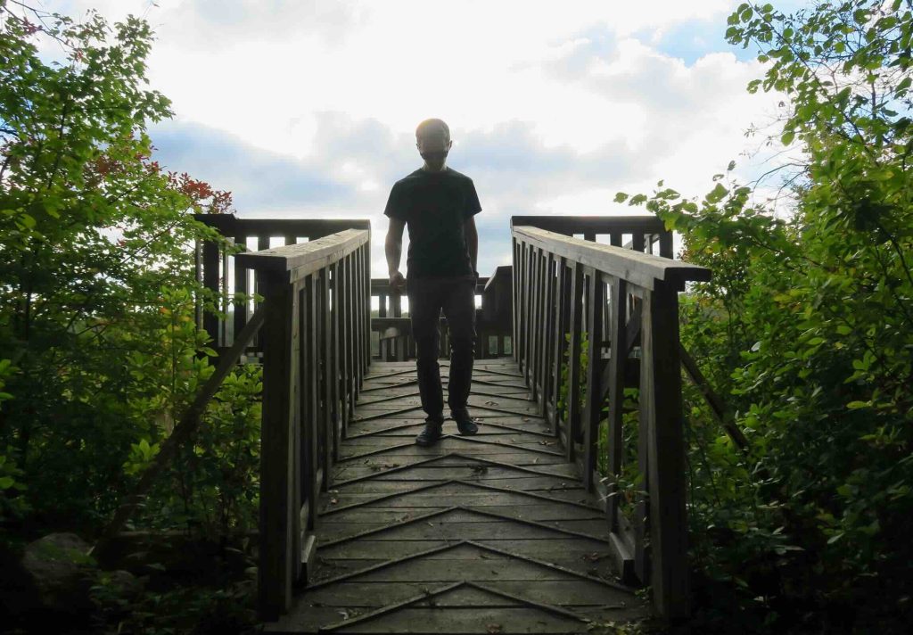
In 2012, the Friends of Goodwin Forest built a new viewing platform on Govenor’s Island to replace one built by Forester Bob Garrepy sometime in the early 1970s.

From Summer 2022 through 2023 the dam spillways/overflows at the south end of Pine Acres Lake were completely redone, this closed access to the blue/white trail which has since reopened.


The information shown here is for general reference purposes only. exploreCT.org gives no warranty, expressed or implied, as to the accuracy or reliability of this data. Parking in all areas, whether designated here or not, is at your own risk. exploreCT.org is not responsible for any damage or loss to vehicles or contents.
Last updated Oct. 19, 2018

Video

Visited 4650 times, 3 Visits today

Related Listings

Mahoney Pond

★★☆☆☆

Under the Mountain Road, North Franklin, CT, USA

Franklin Swamp WMA: Mahoney Pond Connecticut Wildlife Management Area 50 acres in Franklin, CT Parking: Tiny pull off on Under the Mountain Rd, Franklin, CT Trail Map        Trails: 1.5… Read more…

Mattatuck: Leatherman Cave

★★★☆☆

Old Leatherman Cave Trailhead, U.S. 6, Watertown, CT, USA

Mattatuck: Leatherman Cave (Rock House) & Jericho Trail Connecticut State Forest 945 acres in Watertown, CT Parking: Alternate Parking at Black Rock State Park North End: Shoulder… Read more…

Nipmuck : East Terminus

★★☆☆☆

41.7519540, -72.1605640

Nipmuck Trail – East Branch Terminus CFPA Blue Blaze Nipmuck Trail 2.28 miles in Mansfield, CT Parking: Large dirt lot at 28 North Windham Road, Mansfield, CT Trail…