Gay City State Park

Connecticut State Park

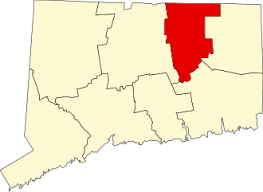
1,569 acres in Hebron, CT

Parking: Large lot at 386 North St Hebron, CT year round with additional parking open seasonally

Trail Map          Trails: 9 miles       Rating: ★★★☆☆


Gay City is also the site of an annual Hartford Marathon event called the Summer Solstice Trail Run with 3.3 and 5.5 mile races.

Hiking

There is a large and easy network of trails here totaling about nine miles including a connector to the blue-blaze Shenipsit Trail.  The trails also connect to the Meshomasic State Forest and Blackledge Falls to the south. 

Red Trail Loop – 4.55 miles

  • This loop is actually almost 5 miles for not including the paved road which connects the winter parking area to the other end of the loop.  The loop alternates between rough trail and old woods roads passing marshes, climbing hills, and traversing thick forest.  It serves as a nice mid distance loop but lacks eye catching destinations.

White Trail Loop – 2.46 miles

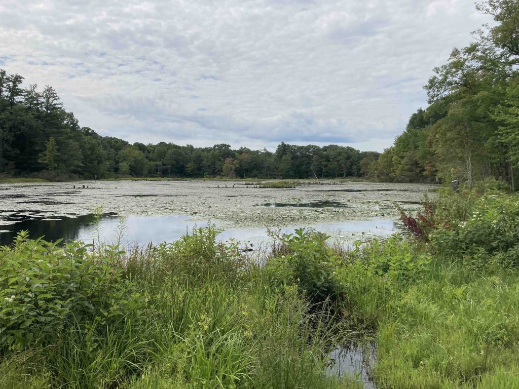
  • The white trail travels the interior of the park and catches all the sights like the pond, mill ruins, brook and river views.  Much of the trail is well traveled though portions along the back are less so in favor of jumping on the longer red loop.

Yellow Trail – 0.77 miles

  • Unexplored

Blue Shenipsit Connector – 1.54 miles

  • The blue blazed Shenipsit Trail connector runs from the paved entrance road near the youth camping area to the edge of the property and into the Meshomasic State Forest. The trail follows a fairly straightforward path on old woods roads except for a recent reroute in the middle to cross a small stream and climb a hillside to avoid a frequently flooded area. Hiking it out and back is relatively uneventful, but conveniently bisects the Red Trail Loop and connects to several of the other trails on the property.
  • The trail crosses into the Garnet Ledge section of the Shenipsit Trail

Swimming

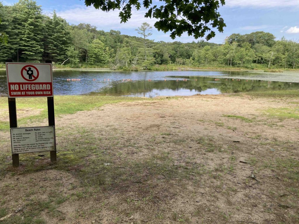
There is a beach for swimming at Gay City Pond. Gates open for the season on the third Saturday in April from 8AM to sunset. They close for the season after Columbus Day weekend, but the park can still be accessed year round from the outer parking lot.

Check the Beach Status Report for more information on open/closed and water quality.

History:

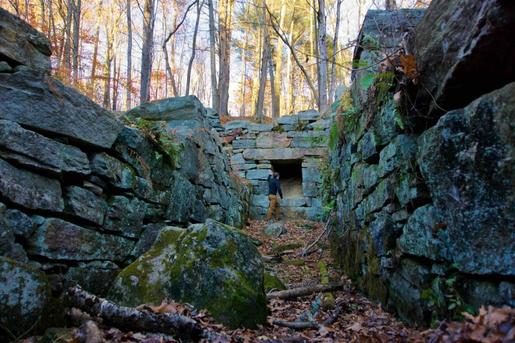
Established as a park in 1944 it is the site of a village from the 1800s.  Ruins of a mill along the Blackledge River can be found along the white trail and other foundations are nearby on the yellow trail.


Links:

The information shown here is for general reference purposes only. exploreCT.org gives no warranty, expressed or implied, as to the accuracy or reliability of this data. Parking in all areas, whether designated here or not, is at your own risk. exploreCT.org is not responsible for any damage or loss to vehicles or contents.
Last updated August 14th, 2023

Visited 6920 times, 4 Visits today

Related Listings

John Minetto State Park

Unexplored

41.883625, -73.169530

John A. Minetto State Park Connecticut State Park 715 acres in Goshen and Torrington, CT Parking: Seasonal parking near CT-272, Torrington, CT Trail Map        Trails:…

Beaver Brook State Park

★★☆☆☆

483 Back Rd, Windham, CT 06280

Beaver Brook State Park Connecticut State Park 401 acres in Chaplin and Windham, CT Parking: Small lot at 483 Back Rd, Windham, CT 06280 Trail Map     …

Auerfarm State Park

★★☆☆☆

41.814364, -72.767321

Auerfarm State Park / 4-H Education Center at Auerfarm Connecticut State Park / Scenic Reserve 40 acres in Bloomfield, CT Parking: Small lot near 50 Auer Farm…