Photos

Description

Earle Park

Glastonbury Town Park and Audubon Property

49.7 acres in Glastonbury, CT

Parking: Small lot near 1325 Main St, Glastonbury, CT

Trail Map      Trails: 1.2 miles       Rating: ★★☆☆☆


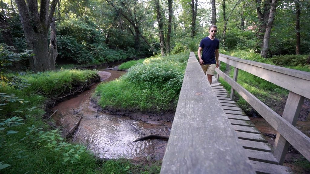
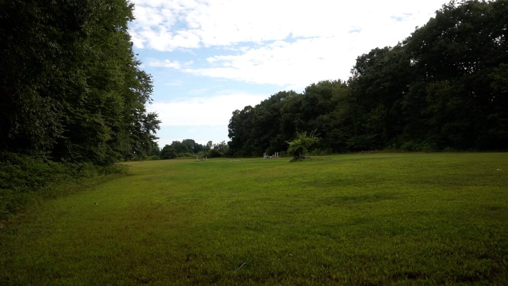
The trails for Earle Park start directly behind the former Audubon Center (closed in July 2020) here on Main Street in Glastonbury.  You’ll follow a stone wall downhill next to the adjacent Old Church Cemetery.  When I visited in 2019 the trails roughly matched the trail map above but were a bit more deceptively confusing.  Reaching the bottom of the hill you can turn right onto a bridge to continue on the main trail, but there is a nice view of Tom’s Pond straight ahead and you are drawn to a large open space to your left.  The open space is active farm fields for Old Cider Mill/Riverview Farms.  I guess the two properties are meant to mix but you certainly aren’t looking to hike that way.

After crossing the bridge over Holland Brook the two short loop trails are wide trails interspersed with jumps for the Glastonbury Pony Club who also use the trails.  The loop up the hill closer to the river also ends awkwardly next to Cider Mill farm fields.

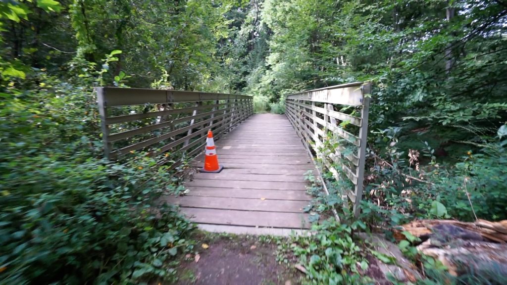
The trail you’re looking for is the one leading down to the river.  The .08 mile one that reaches the Connecticut River was overgrown and looked like it hadn’t been used in years on my visit, I’m hoping that has since been re-cleared.  Thankfully however the .04 mile trail leading off the property crosses a well built bridge over the curving Hubbard Brook to an actual view of the river.  There was also a small garden here so if you adventure this far treat the property well.

Apparently the Earle Park, at least in 2003, was home to the largest bitternut hickory tree in the state.  I don’t have the arbor knowledge to spot a bitternut hickory so I certainly missed it on my hike.  I wonder if it has retained its crown in the ensuing 20 years.

History:


Links:

Peter Marteka – Walking Along the Connecticut River (2003)

The information shown here is for general reference purposes only. exploreCT.org gives no warranty, expressed or implied, as to the accuracy or reliability of this data. Parking in all areas, whether designated here or not, is at your own risk. exploreCT.org is not responsible for any damage or loss to vehicles or contents.
Last updated September 1st, 2019

Visited 1073 times, 3 Visits today

Related Listings

Coney Rock

★★★☆☆

41.794751, -72.202390

Coney Rock Preserve Joshua’s Trust Property and Town of Mansfield Park Location: 134 acres in Mansfield, CT Parking: Small pull-off near 501 Chaffeeville Rd Storrs, CT Shoulder… Read more…

Champlain North

Unexplored

6 Wyckford Ln, Old Lyme, CT, USA

Champlain North Old Lyme Town Park 65 acres in Old Lyme, CT Parking: Small pull off near 6 Wyckford Ln, Old Lyme, CT Trail Map     …

Kings Island Boat Launch

★☆☆☆☆

49 Parsons Rd, Enfield, CT 06082

Kings Island Boat Launch / Angelo Sferrazza Memorial Park DEEP Water Access / Enfield Town Park 17 acres in Enfield, CT Parking: Medium sized lot near 49…