Dickinson Creek Trail

Connecticut State Forest

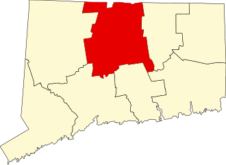
1,190 acres in Marlborough, CT

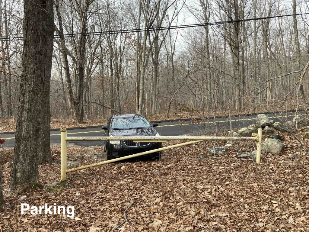
Parking:

Trail Map       Trails: 1.4 miles        Rating: ★★☆☆☆


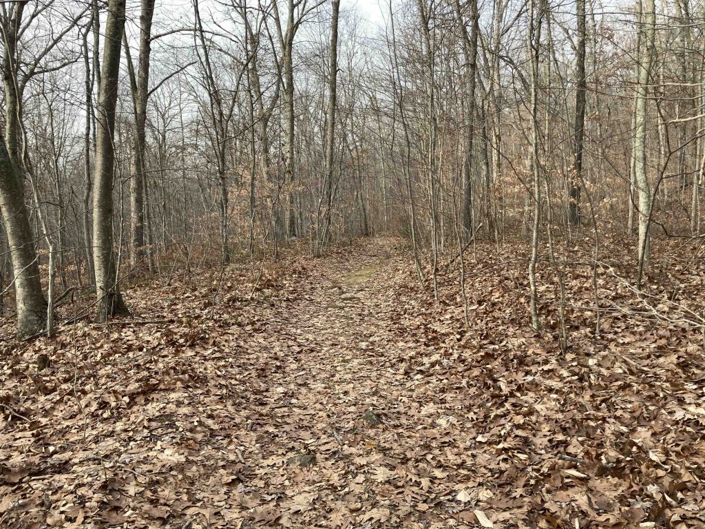
This is one of those hidden trails you’d have to be a local to find, but occasionally find mentioned elsewhere.  Either end of the trail is non-descript with gate at one end and an overgrown clearing at the other.  I started from Flood Road parking at the gate and setting off on the old woods road.

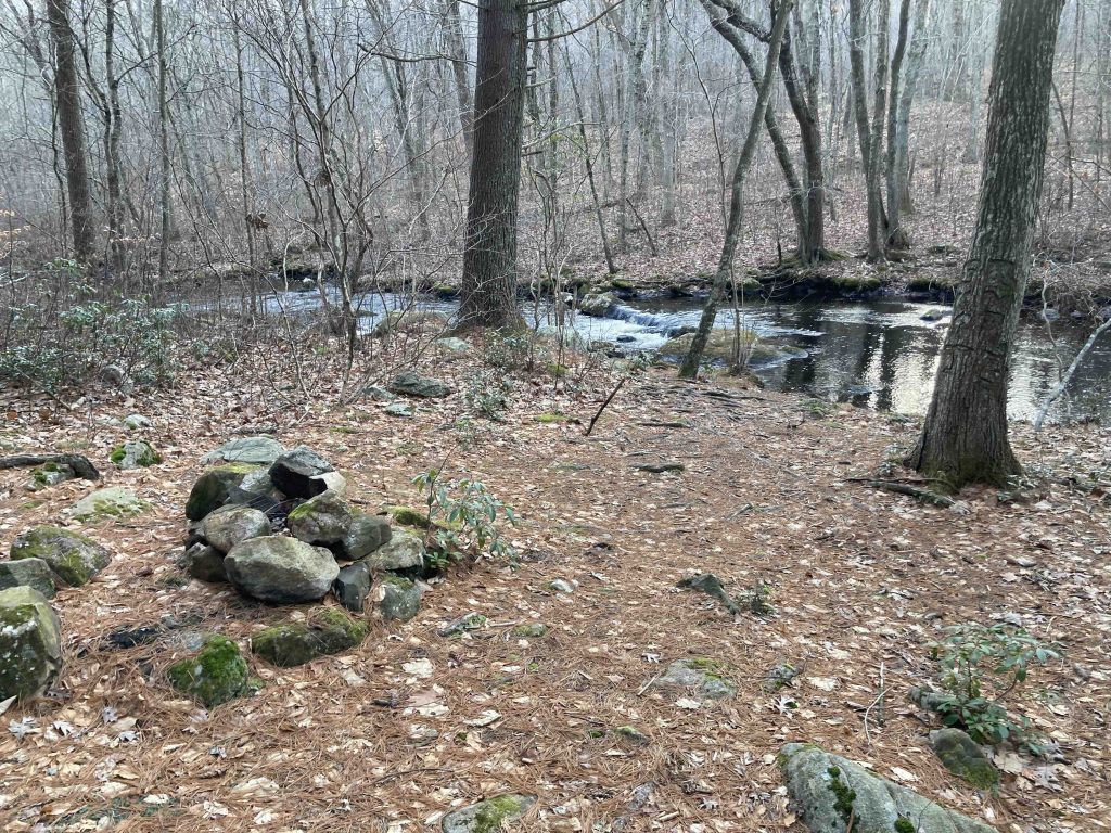
This trail is through a large northern parcel of the Salmon River State Forest.  It starts off pretty wide and flat and you can hear the creek off to your right but can’t see it.  I was surprised at how well traveled this stretched seemed so I question how out of the way this trail really is. After about a third of a mile you climb a small hill and get your first glimpse down to the creek through the trees.  Not much further is a short side path down to a beautiful little scene that provides the only access to the creek for the entire trail.

The wide path continues until crossing a crystal clear feeder stream that requires some rock hopping.  Beyond this the trail gets rougher and less traveled.  You begin to gain elevation and cross another feeder stream that is a long stretch of tiny cascades.  The trail then turns away from the creek climbing uphill all the way to Ogden Lord Road.  The stretch right before the road may have been logged 3-4 years ago but opens into a small gravel pull off.

These are busy roads so you could loop back using them, but I just treated it as an out and back.  This area seems ripe for additional trails.  I can picture a true creek trail that follows the water downstream and climbs alongside one of the feeder cascades and loops back atop the hill at the northeast part of the property.

There are trails on the other side of the creek off Quinn Road, but I haven’t explored them yet.

History:


Links:

The information shown here is for general reference purposes only. exploreCT.org gives no warranty, expressed or implied, as to the accuracy or reliability of this data. Parking in all areas, whether designated here or not, is at your own risk. exploreCT.org is not responsible for any damage or loss to vehicles or contents.
Last updated December 5th, 2022

Visited 1200 times, 2 Visits today

Related Listings

Nathan Hale State Forest

★★★☆☆

41.764554, -72.347094

Nathan Hale State Forest Connecticut State Forest 1,529 acres in Coventry, CT Parking: Large lot at 2299 South St, Coventry, CT Trail Map        Trails: 12…

Haddam Meadows State Park

★★☆☆☆

41.481174, -72.510483

Haddam Meadows State Park Connecticut State Park 175 acres in Haddam, CT Parking: Several lots near 20 Parmelee Rd, Haddam, CT Trail Map         …

Mansfield Hollow State Park

★★★★☆

41.765018, -72.178339

Mansfield Hollow State Park Connecticut State Park and Wildlife Management Area 251 acres in Mansfield, CT Parking: A number of lots and pull offs along Bassett’s Bridge… Read more…