
Explore Marlborough, CT
Marlborough at a Glance
Part of Hartford County
If you’re looking for the best hiking trails in Marlborough this is the complete guide to all the long trails, waterfalls, and history it has to offer.
My Highlights
Coming Soon!
Hiking
Town Parks
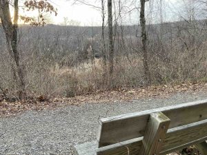
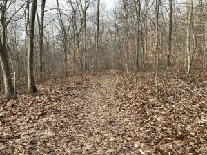
- Blackledge River Greenway –★★– 1.7 miles –
- Blish Memorial Park – Unexplored (Parking Link)
- Elementary School Trails – Unexplored (Trail Map) (Parking Link)
Land Trust
- None
State Parks / Forest
- Salmon River State Forest
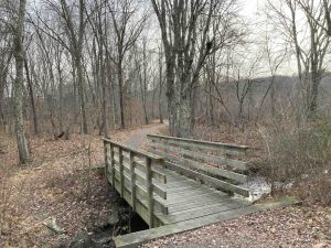
- Dickinson Creek Trail –★★– 1.4 miles – Easy forest road which gets progressively more rugged
- Parker Road Parcel – Unexplored
- Quinn Road Trails – Unexplored
- Salmon River State Forest
Blue Blaze
- None
The Rest
- None
Boating/Fishing
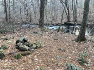
- Blackledge River
- Lake Terramuggus – 83-acres, max depth 43 feet and an average depth of 21 feet. The lake has a boat launch open to Marlborough residents only
Marlborough was first settled in 1747. It was incorporated from lands in Colchester, Glastonbury, and Hebron in October 1803. Making it the 112th oldest town in Connecticut. It was named for either the Duke of Marlborough or from the previously name Marlborough, MA. It had been previously named Eastbury and New Marlborough.
{{label}}: {{displayValue}}
{{displayValue}}
{{displayValue}}
{{locationDetails}}
Browse sub-categories
Showing 1 result
Showing {{ showing }} out of {{ foundPosts }} results
