Chapman Pond Preserve
The Nature Conservancy and East Haddam Land Trust Property
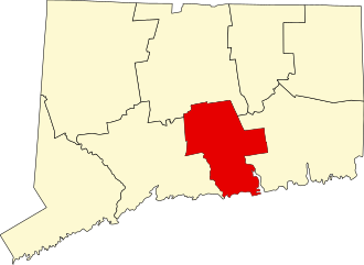
700 acres in East Haddam, CT
Parking: Medium sized lot near 187 River Rd, East Haddam, CT
Trail Map Trails: 3 miles Rating: ★★★☆☆
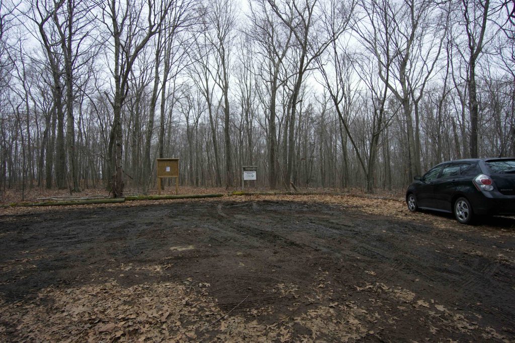
If you’re anything like me, you’ve passed this place more than a few times on your way to Gillette Castle and never even known it was there. Two small yellow signs at the hard turn on River Road are the only indication that it is open to the public. The driveway in is a bit of a mud pit, but my hatchback handled it without issue. The parking area was a mud pit too, so I parked off on the dry side.
Hiking
Trails here head directly off the parking area which coincides with the summit of Poplar Hill and soon splits. I took the left fork and made my way down the wide easy to follow path. Blazes here are a dull blue, but the trail is well established enough that they aren’t really necessary. Trees along the trail are identified with signboards for about the first third of the loop. Stream crossings require some rock hopping to cross and I don’t remember the footbridge indicated on the map.
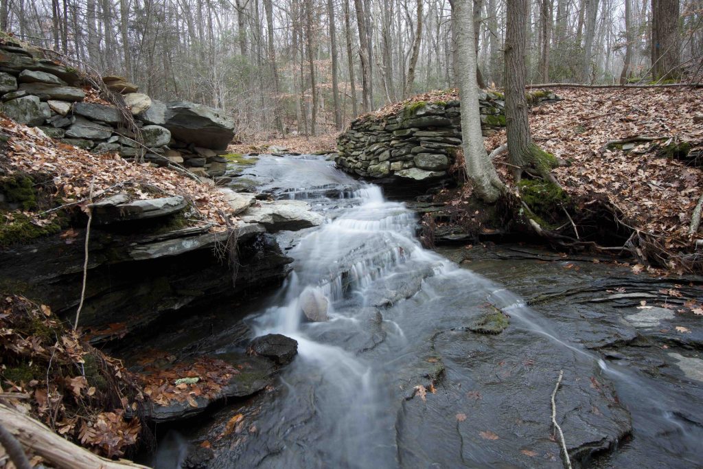
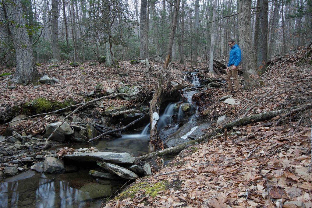
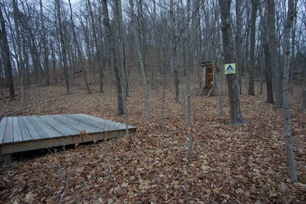
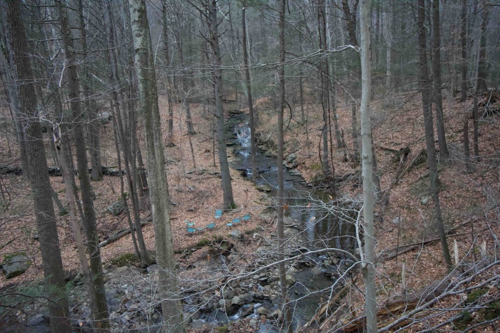
The nice surprise was the three cascade/waterfalls along the loop. The first two are in the first third of the loop and the second is off on private property around the two mile mark. None of the falls are particularly impressive but certainly liven up the hike. The second nice surprise was the camping area along Chapman Pond. There are two platforms and the nicest camp toilet I’ve ever seen. Everything seems newly built (as of 2019) I had done a trip down the Connecticut River and this didn’t turn up when I was researching areas to camp.
The trail follows the pond for a stretch on what was one of East Haddam’s original town “highways” next to steep ridges that climb away from the water. The second half of the trail is a bit of a blur. I realized I had to run to not be out past sunset so I ran most of the second half. Memorable bits were a stretch of significant knockdown old enough that a young forest had sprung up to replace it and other stretches of mountain laurel. After a few more stream rock hops and sections where the trail crosses old cart paths the trail reconnects to the parking area.
Chapman Pond is connected to the Connecticut River just off Rich Island and is accessible by water only. It is far enough inland to be freshwater but unique in that is still affected by the river’s tides.
The East Haddam Land Trust’s properties are all parcels on the peninsulas enclosing the pond. It is significant area for bird watching according to the Kayaking with Lou link below.
It is also a part of the Connecticut River Paddler’s Trail with a primitive campsite that can accommodate up to 14 campers.
History:
Robert Chapman purchased the land here in 1642 from a Native American by the name of Chapeto. The area of the current pond was meadow of salt hay that was Chapman harvest annually.
It was known as Chapman’s Meadow until a washout occurred sometime in the 1800s forming the pond.
The main 300 acre parcel was purchased from the heirs of Vivian Kellems. That has since been augmented by other purchases and a gift of 5.5 acres from Peter Paris.
Links:
- Peter Marteka – The Beeches Of Autumn At Chapman Pond Preserve (2011)
- Nature Conservancy – Chapman Pond Preserve
- New England Waterfalls – Cascades at Chapman Pond Preserve
Kayaking with Lou – Chapman Pond, Rich Island and Lord Island(dead link 2021)- Country Walks in Connecticut: A Guide to The Nature Conservancy Preserves, by Susan D. Cooley, Appalachian Mountain Club Books and the Nature Conservancy, 1989, pp. 48–52.
The information shown here is for general reference purposes only. exploreCT.org gives no warranty, expressed or implied, as to the accuracy or reliability of this data. Parking in all areas, whether designated here or not, is at your own risk. exploreCT.org is not responsible for any damage or loss to vehicles or contents.
Last updated December 29, 2019
Visited 3429 times, 3 Visits today