Site logo
    • Explore
      • Blue-Blaze Trails
      • Land Trusts
      • State Parks and Forests
      • By Town
    • exploreCT+
      • Membership
      • Shop
      • Events
    • Blog
    • Town Guides
    Sign in or Register
    Listing cover image

    Burr Pond State Park

    • Trails
      3 miles
    • Rating
      ★★★☆☆
    • Address
      Burr Pond State Park, 385 Burr Mountain Rd, Torrington, CT 06790, USA
    • Explore
    • Trail Map
    • Reviews 0
    • New Page
    • prev
    • next
    • Bookmark
    • Share
    • Get directions
    • Report
    • prev
    • next
    At A Glance

    Connecticut State Park

    438 acres in Torrington, CT

    Parking: Small lot near 384 Burr Mountain Rd, Torrington, CT

    Trail Map           Trails: 3 miles       Rating: ★★★☆☆

    I have just barely explored Burr Pond State Park.  I hiked in from the south on the John Muir Trail coming from Sunnybrook State Park through the Paugnut State Forest.  It was the first snow storm of the year and while I had intended to hike around the full loop around the pond, conditions were pretty clear that I should cut it short.  So I’ve only hiked the back of the pond loop from the blue/white trail to the John Muir Trail.

    Hiking

    Blue – Walcott Trail – 2.7 miles

    • Maybe it was just the snow but the hiking was way more rugged than I was expecting.  The rocky backside of the loop is steeper and more technical where I was expecting a flat walk along the waters edge (though I expect that’s true on the north side of the pond).
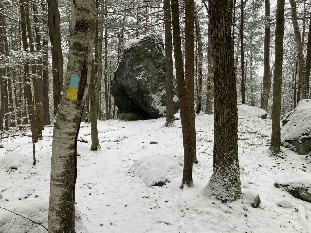
    • I first passed the glacial erratic lovingly renamed Boulder Over Burr or BOB for short and just past it on the very short spur trail is a rocky knob with half a view of the pond.  Even on the snowy morning the Walcott Trail was well traveled so this must be a popular hike.
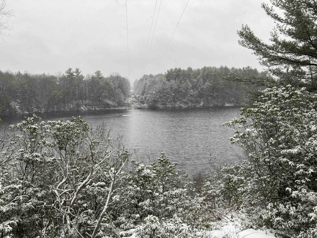
    • There were two good views of the water along this south side before I reached the John Muir Trail again.

    Also Blue – John Muir Trail – 2.69 miles

    • Only 0.14 miles of this trail technically fall within the park’s borders, but if you’re looking for a rugged, beautiful, and remote feeling hike this one is for you.  The trail heads south from here crossing a few old forest roads for just over 2.5 miles until reaching Sunnybrook State Park.
    • Many stretches are infrequently traveled and while it is pretty well blazed there were a handful of spots where I had to backtrack to the last blaze I saw and scan the area to find where it turned from obvious path.
    • Between the John Muir Trail and my loops at Sunnybrook and Burr Pond I put together a 8 mile hike (the full hike around Burr Pond would probably be over 10).

    Blue/White Trails

    • There are two of these trails
      • One on the north side from the parking area to picnic areas along the water called the Jenkins Trail
      • And one on the south side as a connector to the John Muir Trail

    Blue/Yellow Trails

    • There are also two of these both on the south side of the pond
      • One is the 0.15 mile Peninsula Trail which is a quick out and back to a view of the pond
      • The other is just 200′ or so to the Boulder Over Burr and a rocky lookout of the pond

    There are a number of forest roads that criss cross the southern part of the park but trail maps are posted at a number of the junctions pointing out where you are should it be confusing.

    History

    Established as a state park in 1949. This park was featured in the 2016 Sky’s the Limit Hiking Challenge.

    Links

    CTMQ – TSTL’16.3: Burr Pond State Park (2016)

    Tags
    • ★★★☆☆
    • 2022
    • Explored
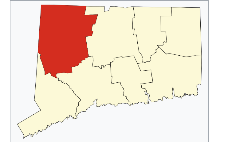
    • Litchfield County
    • Paugnut State Forest
    • State Park
    • Torrington
    Last Updated

    The information shown here is for general reference purposes only. exploreCT.org gives no warranty, expressed or implied, as to the accuracy or reliability of this data. Parking in all areas, whether designated here or not, is at your own risk. exploreCT.org is not responsible for any damage or loss to vehicles or contents. Last updated December 11th, 2022

    Trail Map
    Location
    • Burr Pond State Park, 385 Burr Mountain Rd, Torrington, CT 06790, USA

      Get Directions
    Gallery
    Video
    Categories
    • Hiking
    • Boating
    • Fishing
    • Swimming
    Gallery
  • No comments yet.
  • Add a review

    Leave a Reply · Cancel reply

    Your email address will not be published. Required fields are marked *

    Overall Rating

    You May Also Be Interested In

    Spruce Brook Falls

    • ★★★★★
    • 16 miles
    Featured
    FW6F+CW Beacon Falls
    • Quick view
    • Bookmark

    Bartholomew Open Space

    • Unexplored
    • 0.6 miles
    72 Buttonball Rd
    • Quick view
    • Bookmark

    Avery Nature Preserve

    • Unexplored
    • 2.6 miles
    60R Scotch Cap Rd
    • Quick view
    • Bookmark

    Hi, I’m Matt.

    I’m building ExploreCT to be the guide for all your outdoor adventures. All the trails, views, and waterways this great state has to offer.

    Now get out and explore!

    Monthly Newsletter

    Each month I share site updates or an interesting article in my newsletter. It’s short, sweet, and practical.

    600+ explorers read it, I’d love for you to join.

    Thank you!

    You have successfully joined our subscriber list.

    X-twitter Youtube Envelope Instagram

    Cart

      • Facebook
      • X
      • WhatsApp
      • Telegram
      • LinkedIn
      • Tumblr
      • Reddit
      • VKontakte
      • Mail
      • Copy link
      • Share via...
      • Threads
      • Bluesky