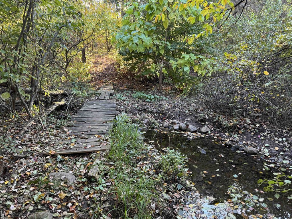
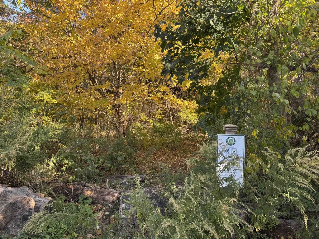
Blue Hills Conservation Area
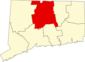
315.5 acres in Berlin, CT
Parking: Shoulder parking near 498 Summit Wood Dr, Berlin, CT
Trail Map Trails: 2.8 miles Rating: ★★☆☆☆
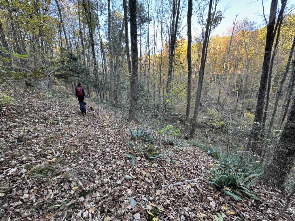
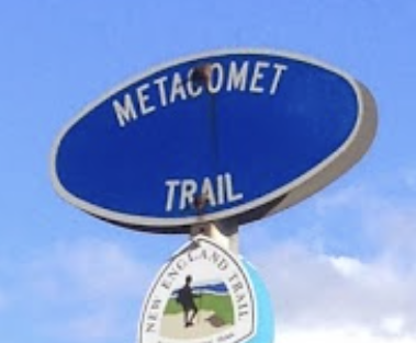
This large Town of Berlin open space property is trailed entirely by the blue blaze Metacomet Trail serving as its current southern terminus and as a section of the larger 235 mile New England Trail.
Note: The trail map is actually a bit outdated, the Metacomet no longer takes the hard turn up to Summit Woods Drive it meanders longer past the P parking area for 1.54 miles and gains the ridge a bit later for 1.3 miles to Rt. 71.
Heading south: 2.6 mile road walk to the north terminus of the blue blaze Mattabesett Trail
Heading north: Hubbard Park / Castle Craig
- CMTQ – Metacomet Trail: Section 2 and Metacomet Trail: Section 3 (2007)
The information shown here is for general reference purposes only. exploreCT.org gives no warranty, expressed or implied, as to the accuracy or reliability of this data. Parking in all areas, whether designated here or not, is at your own risk. exploreCT.org is not responsible for any damage or loss to vehicles or contents.
Last updated October 18th, 2024
Visited 141 times, 1 Visits today