Site logo
    • Explore
      • Blue-Blaze Trails
      • Land Trusts
      • State Parks and Forests
      • By Town
    • exploreCT+
      • Membership
      • Shop
      • Events
    • Blog
    • Town Guides
    Sign in or Register
    Listing cover image

    Hubbard Park: Castle Craig

    • Trails
      10 miles
    • Rating
      ★★★★★
    • Address
      H547+JM Meriden, CT, USA
    • Explore
    • Trail Map
    • Reviews 0
    • New Page
    • prev
    • next
    • Bookmark
    • Share
    • Get directions
    • Report
    • prev
    • next
    At A Glance

    Meriden Town Park

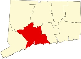
    1,800 acres in Meriden, CT

    Parking: Year round lot near 999 W Main St, Meriden, CT or drive up to the tower May 1st through October 31st from 10:00 a.m. to 4:45 p.m at Peak Dr, Meriden, CT

    Trail Map          Mobile Trail Map       Trails: 10 miles     Rating: ★★★★★

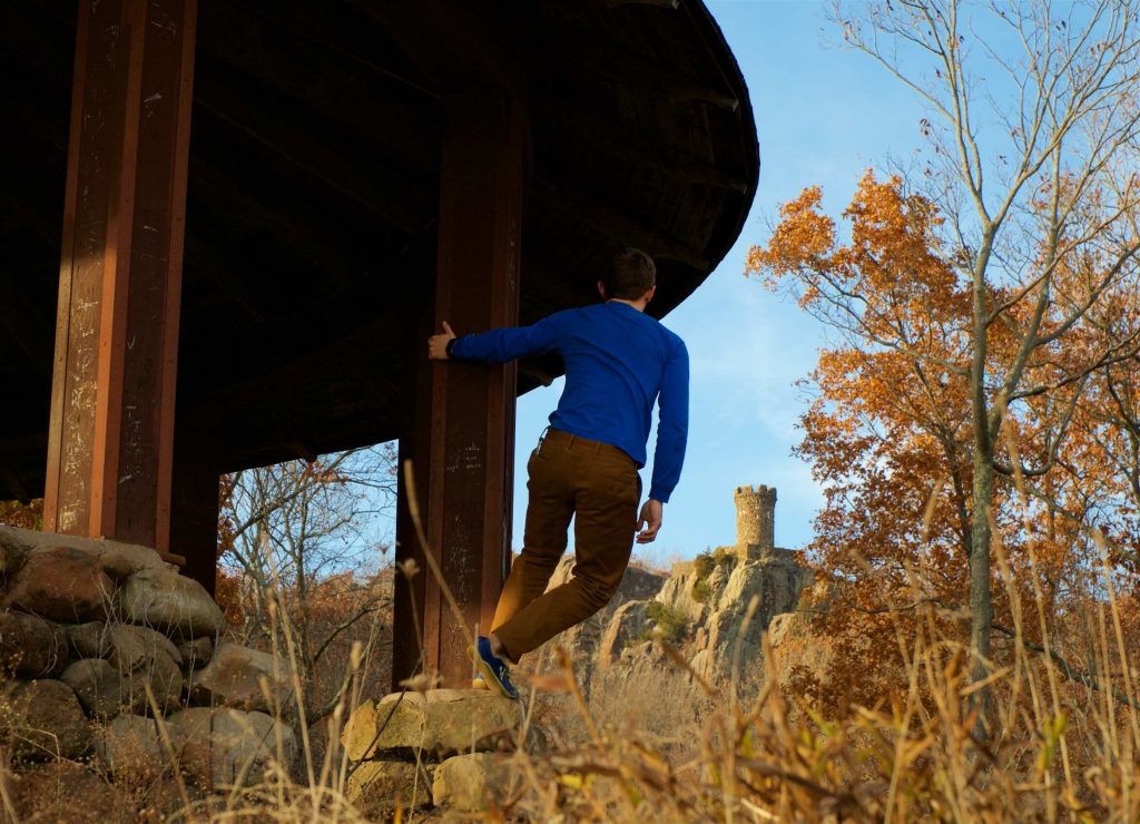
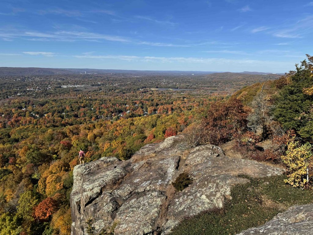
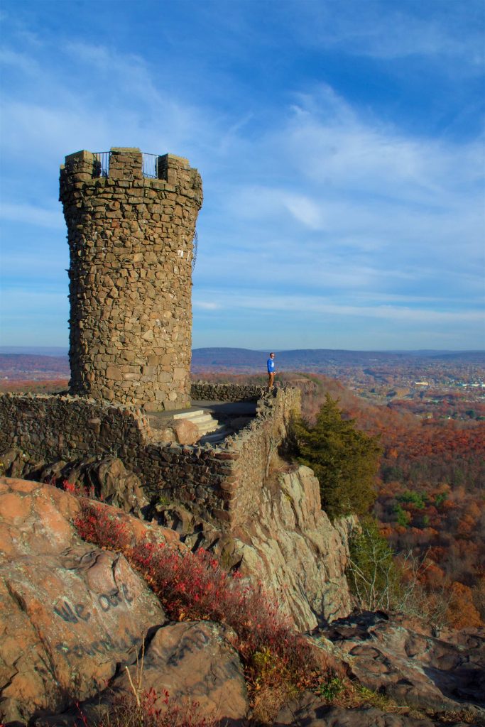
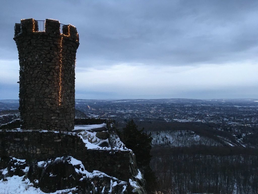
    Among the Hanging Hills of Meridan sits Hubbard Park and atop its ridge sits Castle Craig.  This park has impressive views, miles of trails, and one of Connecticut’s stone observation towers.

    Hiking

    All my hikes have begun from the small lot next to Mirror Lake taking the red trail, crossing the 691 overpass, and climbing up to the tower.  The shortest route is about 1.2 miles up to the tower and although there is a good amount of elevation gain with a steep loose rock slope in one stretch but the reward of the tower view is worth it.  Of course you could drive up to the tower May 1st through October 31st from 10:00 a.m. to 4:45 p.m for the easiest option.

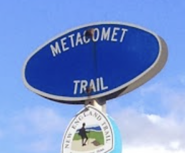
    The park has a 3 mile section of the Metacomet Trail.

    • The trail enters from the east passing Elmere Reservoir and the Anderson Property Open Space to reach the north end of Merrimere Reservoir. The trail enters a small ravine just past the reservoir and continues on a long slow climb up to the castle with several viewpoints along the way. From the castle the trail leaves the corner of the parking area to follow the East Peak cliff edge before turning and heading very steeply down to briefly meet Hubbard Park’s red trail. From there it steeply reclimbs up to West Peak for more views for a long meandering descent to Edgewood Road.
    • Heading north: 1.5 mile road walk on Edgewood Rd to Short Mountain / Timberlin Park
    • Heading south: Blue Hills Conservation Area

    Other highlights include the white trail down to Halfway House (also known as the Fairview Observatory), Merrimere Reservoir with its Mine Island, and the overlooks from East and West Peak.

    History

    Preserved in 1900. The best version is currently on the town’s website here.

    Links

    Peter Marteka – A Meriden Peak With A Giant Autumn View Of Three States (2012)

    Peter Marteka – Ditch The Car; Hike To Castle Craig (2009)

    CTMQ – Castle Craig (2007)

    Scenes From the Trail – Castle Craig Loop – Hubbard Park

    Tags
    • ★★★★★
    • 2019
    • 2022
    • 2024
    • Explored
    • Meriden
    • Metacomet Trail
    • Metacomet Ridge
    • New England Trail
    • New Haven County
    • Overlooks
    • Peter Marteka
    • Sunrise Views
    • Towers
    Last Updated

    The information shown here is for general reference purposes only. exploreCT.org gives no warranty, expressed or implied, as to the accuracy or reliability of this data. Parking in all areas, whether designated here or not, is at your own risk. exploreCT.org is not responsible for any damage or loss to vehicles or contents. Last updated August 14th, 2022

    Trail Map
    Location
    • H547+JM Meriden, CT, USA

      Get Directions
    Gallery
    Categories
    • Hiking
    Gallery
  • No comments yet.
  • Add a review

    Leave a Reply · Cancel reply

    Your email address will not be published. Required fields are marked *

    Overall Rating

    You May Also Be Interested In

    Spruce Brook Falls

    • ★★★★★
    • 16 miles
    Featured
    FW6F+CW Beacon Falls
    • Quick view
    • Bookmark

    Bartholomew Open Space

    • Unexplored
    • 0.6 miles
    72 Buttonball Rd
    • Quick view
    • Bookmark

    Avery Nature Preserve

    • Unexplored
    • 2.6 miles
    60R Scotch Cap Rd
    • Quick view
    • Bookmark

    Hi, I’m Matt.

    I’m building ExploreCT to be the guide for all your outdoor adventures. All the trails, views, and waterways this great state has to offer.

    Now get out and explore!

    Monthly Newsletter

    Each month I share site updates or an interesting article in my newsletter. It’s short, sweet, and practical.

    600+ explorers read it, I’d love for you to join.

    Thank you!

    You have successfully joined our subscriber list.

    X-twitter Youtube Envelope Instagram

    Cart

      • Facebook
      • X
      • WhatsApp
      • Telegram
      • LinkedIn
      • Tumblr
      • Reddit
      • VKontakte
      • Mail
      • Copy link
      • Share via...
      • Threads
      • Bluesky