Mattabesett: Bear Hill & Kätchen Coley Mountain Laurel Preserve

CFPA Blue Blaze Trail and Middletown Town Park

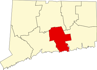
100 acres in Middletown, CT

Parking:

North End: Shoulder parking near 864-100 Bear Hill Rd, Middletown, CT
South End: Small pull-off near Aircraft Rd, Middletown, CT

Trail Map        Trails: 4.2 miles           Rating: ★★☆☆☆


Starting at the north end of this section of the Mattabesett Trail heads off Bear Hill Road into the 50 acre Kätchen Coley Mountain Laurel Preserve.  You’ll soon cross a utility corridor before re-entering the woods through thick stands of mountain laurel.  Be sure to visit in late June to early July generally for peak bloom.

About 1.5 miles into the hike you’ll cross a junction with the blue/yellow blazed trail (dark blue on the map above) which can be used to create a couple different loops when combined with the Mattabesett.  This trail, however, is often used by ATVs and has a couple wet/muddy sections.

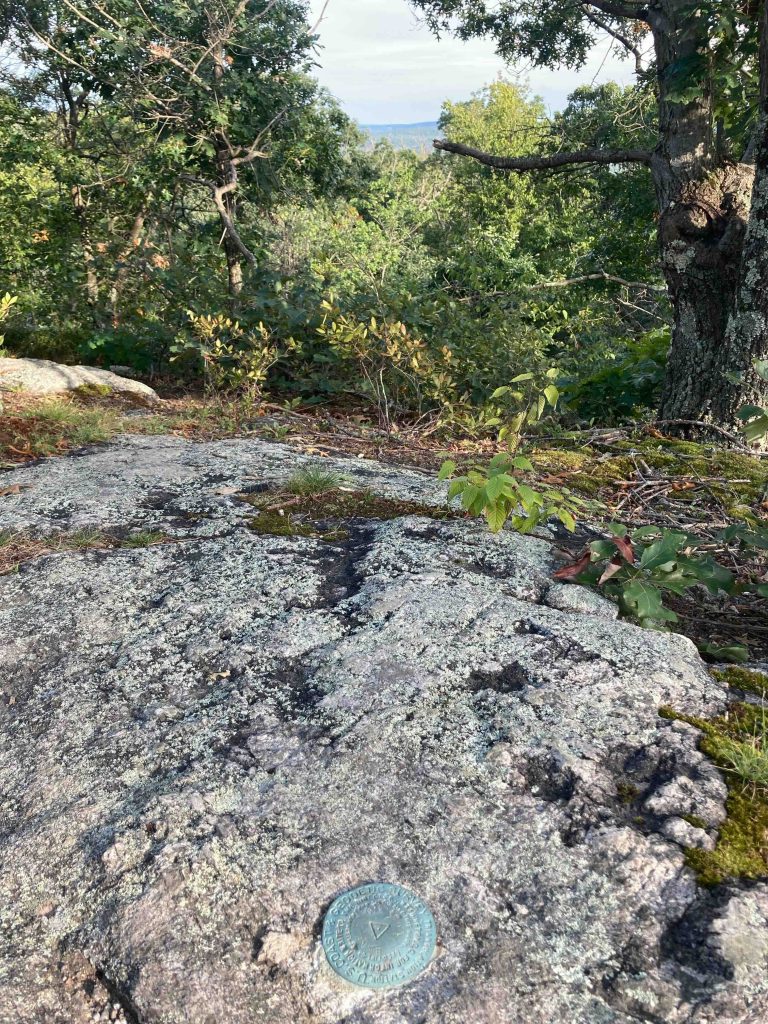
As you ascend Bear Hill you pass over rocky sections and through pines until reaching the summit.  There is a marker noting the elevation and small window of a view off through the trees.

From here the trail descends off the other side (with an unblazed connection to the Spiderweed Preserve) winding its way through more mountain laurel and rocky gaps until reaching Aircraft Road.

Previous Section: Asylum Reservoir/East Terminus – 4.2 miles
Next Section: Seven Falls – 1.5 miles

History:

The Katchen Coley Preserve (formerly the Helfant property) is named for Katchen Coley, a longtime Middletown resident and conservationist. Coley passed away in 2013, but had spent over 40 years advocating for land preservation and environmental protection on behalf of Middletown, spending much of it on the Middletown Conservation Commission.


Links:

CTMQ – Mattabesett: Bear Hill Loop (2008)
Tangled Up in Blue – Mattabesett Trail Section 2 (2021)

The information shown here is for general reference purposes only. exploreCT.org gives no warranty, expressed or implied, as to the accuracy or reliability of this data. Parking in all areas, whether designated here or not, is at your own risk. exploreCT.org is not responsible for any damage or loss to vehicles or contents.
Last updated August 31st, 2021

Visited 3380 times, 2 Visits today

Related Listings

Luce Conservation Area

★★☆☆☆

41.88941,-72.35120

C. W. Luce Conservation Area Tolland Town Park 83.3 acres in Tolland, CT Parking: Cul-de-sac near 99 Susan Drive Tolland, CT Trail Map          Trails: 1.5…

Nipmuck Trail: Marsh Road

★★☆☆☆

41.848349, -72.223530

Nipmuck Trail: Marsh Road Blue Blaze Trail in Willington and Ashford, CT Parking: North end – Shoulder parking near 298 CT-74 Ashford, CT South end – Spur…

Auperin and Weigold

★★☆☆☆

41.83776,-72.36124

Auperin and John H. Weigold Conservation Areas Tolland Town Park 28.1 acres in Tolland, CT Parking: Small lot down the dirt driveway near 244 Weigold Road Tolland,…