Photos
Description
Auperin and John H. Weigold Conservation Areas
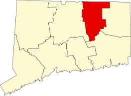
28.1 acres in Tolland, CT
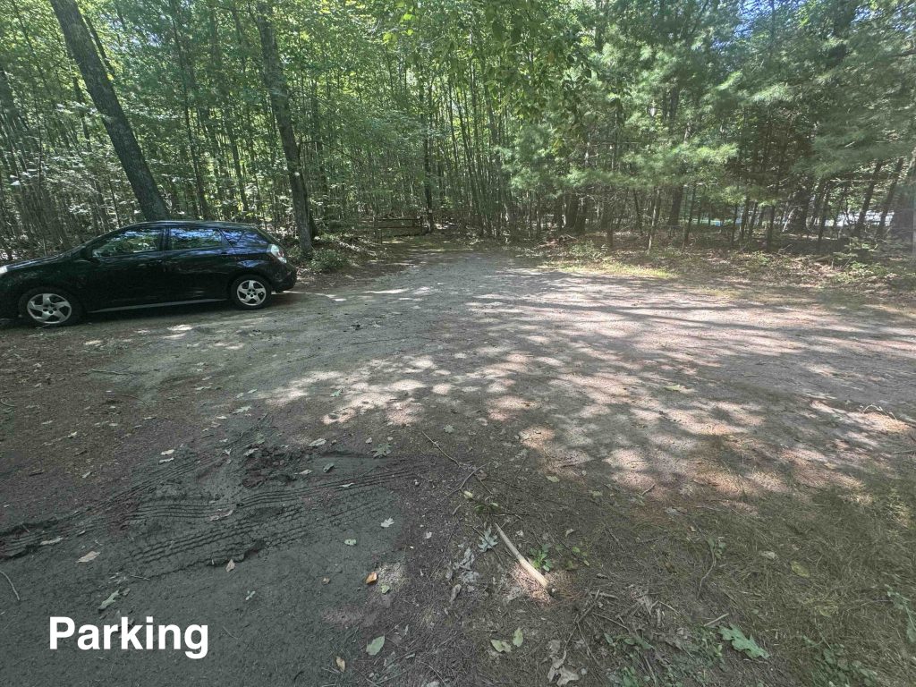
Parking: Small lot near 244 Weigold Road Tolland, CT
Trail Map Trails: 1.1 miles Rating: ★★☆☆☆
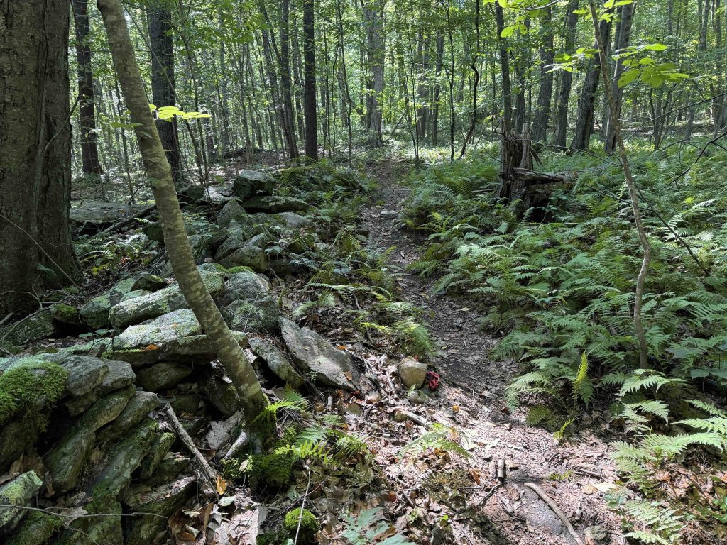
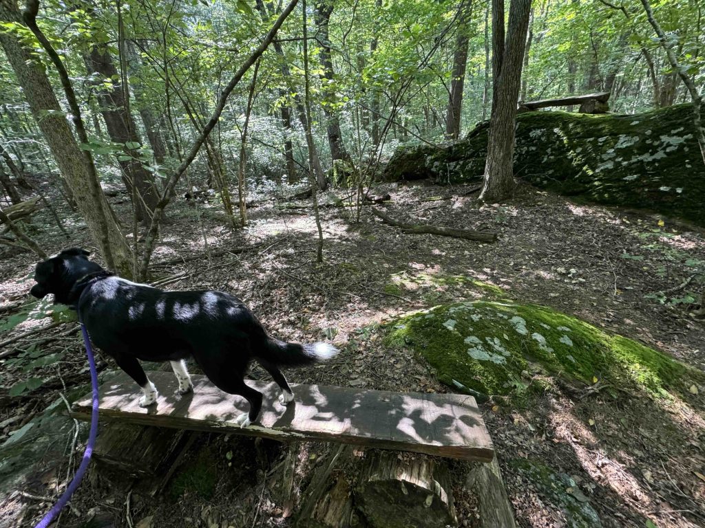
The Weigold Conservation area has .8 miles of blue blazed trail. The Auperin Conservation Area can only be reached by a .3 mile red blazed trail off the Weigold Conservation Area. When these are combined with the Joshua’s Trust Tobiassen Forest, there are a couple miles of trails. It is a mixed woodland and wetland area.
From the town’s site,
“The property is heavily forested with primarily oak, beech, and birch. Along the southern border, it has a permanent brook and a ledge rising 70 feet above the brook forming one wall of a gorge. On the western border, a vernal pool exists. Coldwater fish, wildlife, and a host of different bird species prosper along the brook, vernal pool, and swamp, and up onto the rocky ledges and upper tree canopy. The property drains to the Skungamaug River.”
History:
Weigold was established as a park in 2002 while Auperin was purchased from the Auperin family in 2008.
Links:
CTMQ – JT: Tobiassen Memorial Forest, Auperin, & Weigold Conservation Areas (2021)
The information shown here is for general reference purposes only. exploreCT.org gives no warranty, expressed or implied, as to the accuracy or reliability of this data. Parking in all areas, whether designated here or not, is at your own risk. exploreCT.org is not responsible for any damage or loss to vehicles or contents.
Visited 855 times, 1 Visits today