Site logo
    • Explore
      • Blue-Blaze Trails
      • Land Trusts
      • State Parks and Forests
      • By Town
    • exploreCT+
      • Membership
      • Shop
      • Events
    • Blog
    • Town Guides
    Sign in or Register
    Listing cover image

    Williams Preserve

    • Trails
      3 miles
    • Rating
      ★★☆☆☆
    • Address
      224 Cooper Ln, Coventry, CT 06238, USA
    • Explore
    • Trail Map
    • Reviews 0
    • New Page
    • prev
    • next
    • Bookmark
    • Share
    • Get directions
    • Report
    • prev
    • next
    At A Glance

    Coventry Town Park

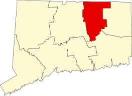
    55 acres in Coventry, CT

    Parking: Small pull-off near 179 Cooper Ln Coventry, CT

    Trail Map          Trails: 3 miles          Trail Difficulty: Moderate      Rating: ★★☆☆☆

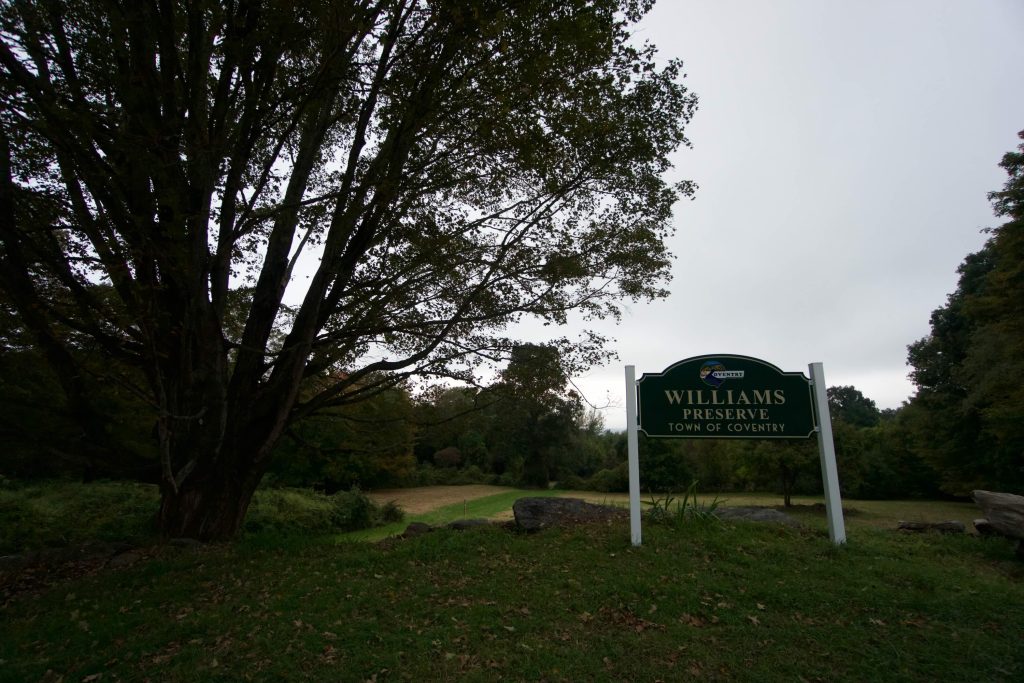
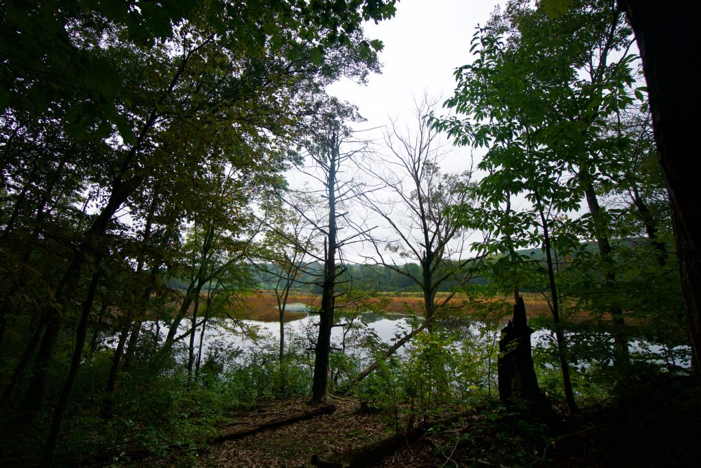
    The Williams Preserve is Coventry’s newest town park, officially opening at the end of September 2018.  I visited shortly after to explore the new trails.  Williams Park is a welcome addition to the short ‘lollipop’ loop at the adjacent Couch Preserve (the trail map above combines the two).  It is a nice simple walk in the woods with views of the Willimantic River. My 2024 visit found the trails have become well used and have expanded to include a new blue trail.

    Hiking

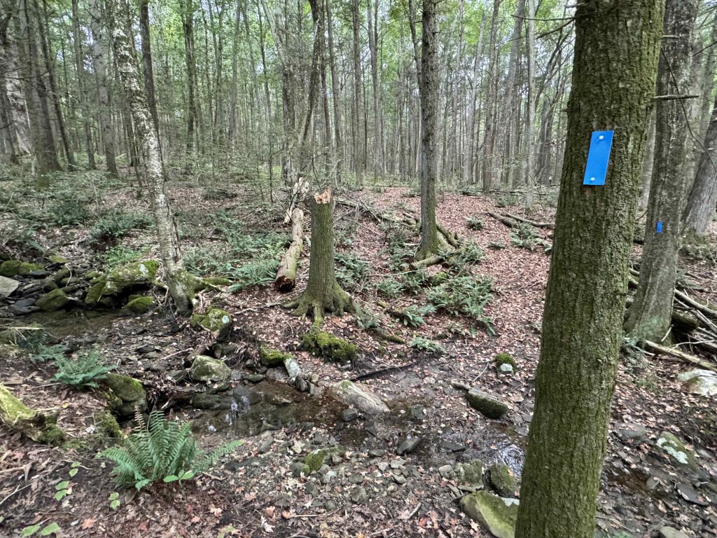
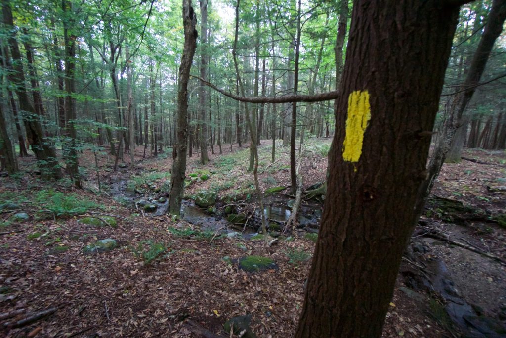
    There are about 3 miles of official trails that head from Cooper Lane downhill to the banks of the Willimantic River at Eagleville Lake.  From the small parking area the yellow trail cuts through an open field was very wet on my last visit from recent rains (bog bridging is in the works).  There is also a new blue blazed trail off the left side also heading downhill.

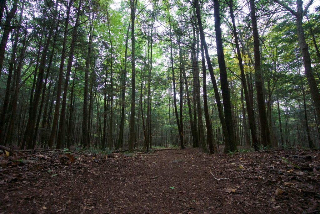
    The yellow trail crosses a small stream and can either continue downhill or turn right to connect to the adjacent Couch Preserve.  Heading downhill through the pines the trail forks.  Both forks are roughly the same distance and pass similar stone walls and old trees.

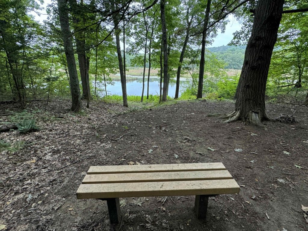
    They re-converge near the river and a new established white spur trail takes you to a nicely cleared viewpoint with a bench.  On my first visit this spot was much rougher though I did find that another “trail” continues to the right soon connecting to the houses along Pine Lake Drive which has since been marked private property but appears well used by residents.

    Branching off into speculation here: This viewpoint by the river also connects to an old rutted woods road that travels to the end of Whites Hill Road.  This means that taking either Pine Lake Drive or White Hill Road to Rt 275 would offer a connection to the Eagleville Preserve and an ambitious but very unlikely southern extension of the Willimantic River Trail whose current start is as River Park in Mansfield.

    History

    Established as a park in 2018 when it was purchased by the Town of Coventry for $404,000 after nearly four years of negotiations.

    Links

    Peter Marteka – Making Connections Along The Banks Of The Willimantic River (2018)

    Michelle Firestone – Preserved land to be celebrated in Coventry (2018)

    Tags
    • ★★☆☆☆
    • 2018
    • 2024
    • Coventry
    • Explored
    • Peter Marteka
    • Tolland County
    • Willimantic River Paddler's Guide
    Last Updated

    The information shown here is for general reference purposes only. exploreCT.org gives no warranty, expressed or implied, as to the accuracy or reliability of this data. Parking in all areas, whether designated here or not, is at your own risk. exploreCT.org is not responsible for any damage or loss to vehicles or contents. Last updated September 1st, 2024

    Trail Map
    Location
    • 224 Cooper Ln, Coventry, CT 06238, USA

      Get Directions
    Gallery
    Categories
    • Hiking
    Gallery
  • No comments yet.
  • Add a review

    Leave a Reply · Cancel reply

    Your email address will not be published. Required fields are marked *

    Overall Rating

    You May Also Be Interested In

    Spruce Brook Falls

    • ★★★★★
    • 16 miles
    Featured
    FW6F+CW Beacon Falls
    • Quick view
    • Bookmark

    Thach Preserve

    • ★★☆☆☆
    • 1 miles
    123 Brush Hill Rd
    • Quick view
    • Bookmark

    Mendell's Folly

    • ★★★★☆
    • 3.8 miles
    390 Beacon Rd
    • Quick view
    • Bookmark

    Hi, I’m Matt.

    I’m building ExploreCT to be the guide for all your outdoor adventures. All the trails, views, and waterways this great state has to offer.

    Now get out and explore!

    Monthly Newsletter

    Each month I share site updates or an interesting article in my newsletter. It’s short, sweet, and practical.

    600+ explorers read it, I’d love for you to join.

    Thank you!

    You have successfully joined our subscriber list.

    X-twitter Youtube Envelope Instagram

    Cart

      • Facebook
      • X
      • WhatsApp
      • Telegram
      • LinkedIn
      • Tumblr
      • Reddit
      • VKontakte
      • Mail
      • Copy link
      • Share via...
      • Threads
      • Bluesky