Site logo
    • Explore
      • Blue-Blaze Trails
      • Land Trusts
      • State Parks and Forests
      • By Town
    • exploreCT+
      • Membership
      • Shop
      • Events
    • Blog
    • Town Guides
    Sign in or Register
    Listing cover image

    Fenton Ruby Park

    • Trails
      4 miles
    • Rating
      ★★☆☆☆
    • Address
      VQXF+4G Willington, CT, USA
    • Explore
    • Trail Map
    • Reviews 0
    • New Page
    • prev
    • next
    • Bookmark
    • Share
    • Get directions
    • Report
    • prev
    • next
    At A Glance

    Willington Town Park

    305 acres in Willington, CT

    Parking: Small lot near 201 Moose Meadow Rd Willington, CT

    Trail Map           Trails: 4.2 miles        Rating: ★★☆☆☆

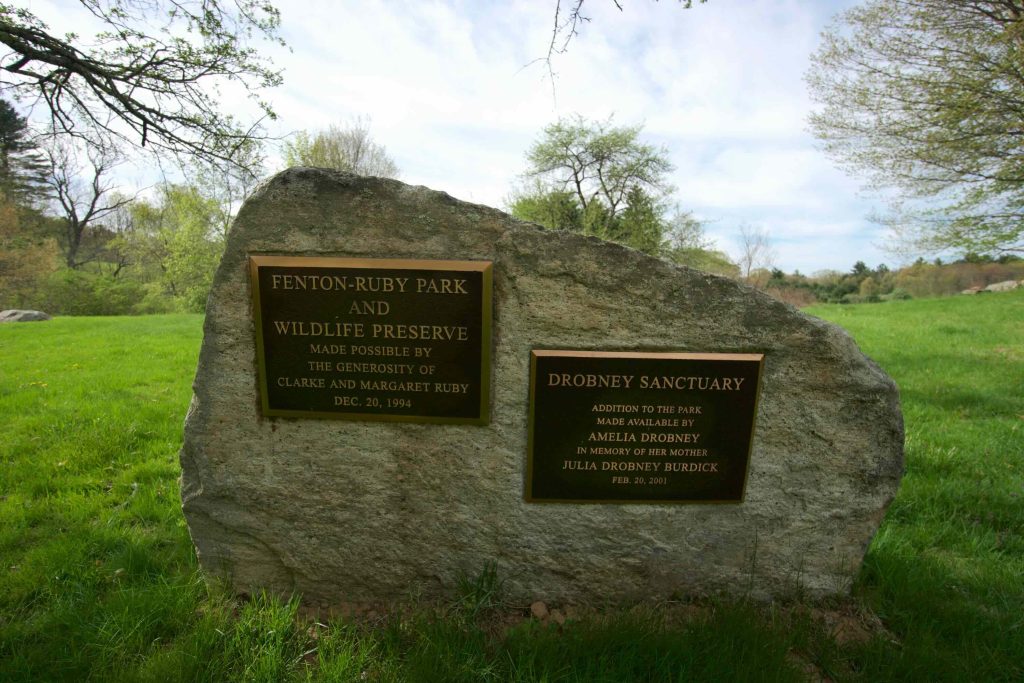
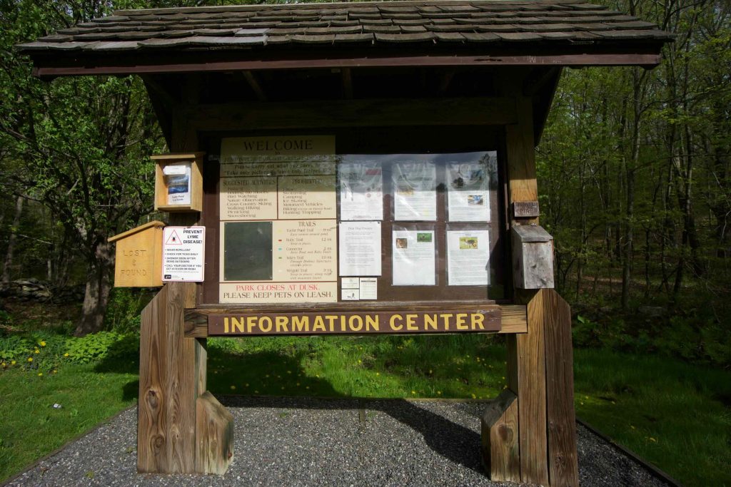
    Fenton-Ruby Park has 4.2 miles of trail and can be combined by way of a connector with the 1.2 mile Langhammer Trail in Ashford.  Exploring the area at a solid pace, the hike came to six miles in almost two hours.  Just off the parking lot is a picnic area and a viewing platform for a beaver damned section of the Fenton River.  A boulder holds two plaques for the land donors and a trailhead sign offers quite a bit of information.

    Hiking

    I started off on the Weigold Trail a .9 mile loop that passes through both dense and wide open understory before climbing to a ridge on the eastern side of the loop.  The ridge is well forested so views are limited to the slope, though the winter may be better.  Walking the spine is always enjoyable even if the trail narrows quite a bit.  There are several sections of mountain laurel which must be beautiful in late spring

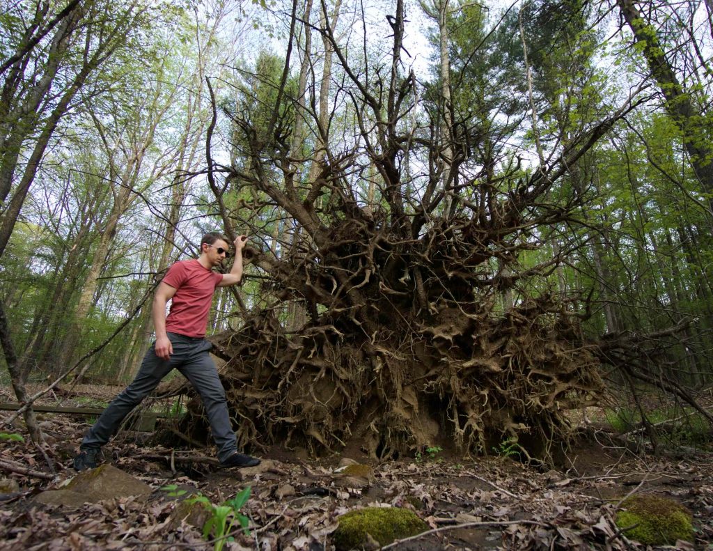
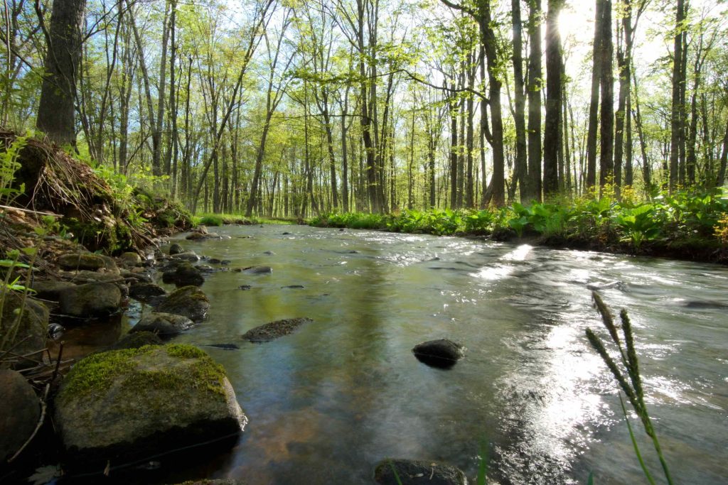
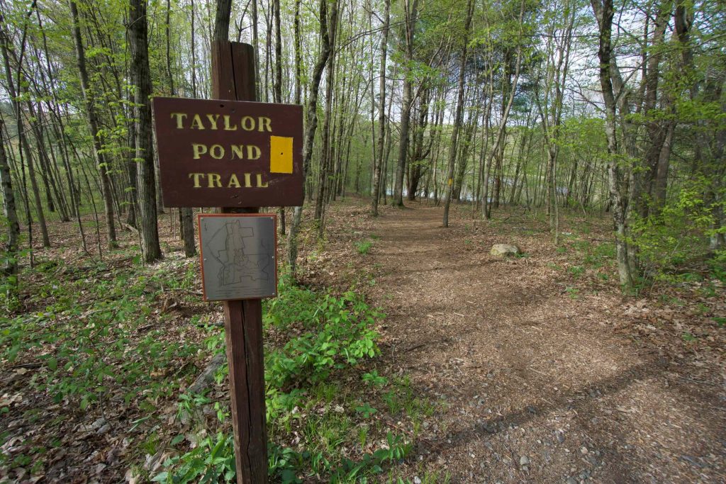
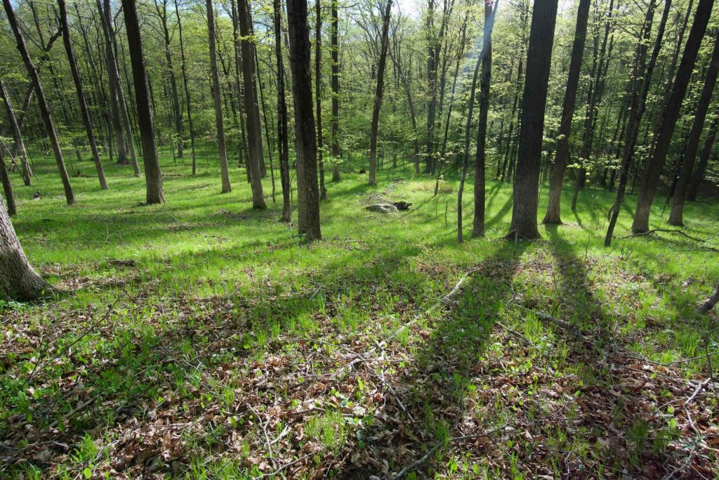
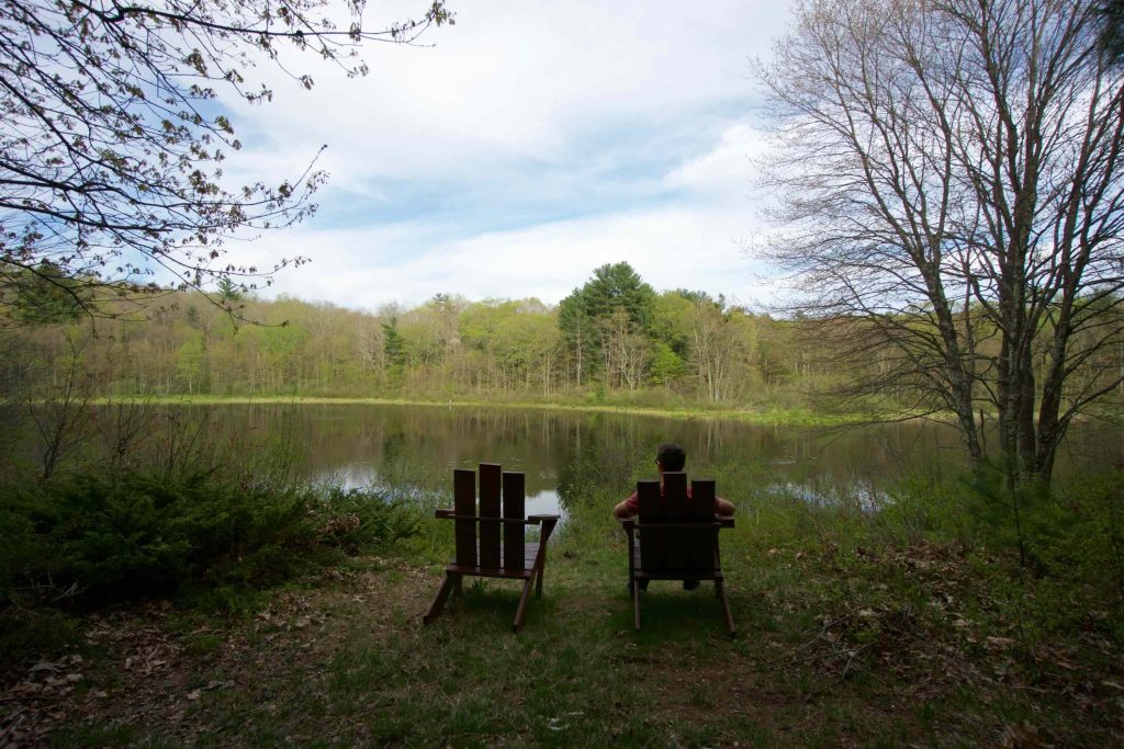
    A bit further up Burma Rd is the .9 mile Taylor Pond trail.  This section of trail has a trail guide with numbered posts to match with the usual set of natural information like the pine grove, the meadow, the wolf tree, or the fauna of the riparian zone.  To its credit, the information is thorough and often interesting.  There are two Adirondack chairs and a bench on the western side of the pond for a rest stop.  Off the Taylor Pond trail was the 1 mile Julia’s trail.  It was easily my favorite with long stretches through grassy forest along the banks of the Fenton River.  Despite several cars in the lot I only passed one couple having the open forest occupied by myself and some squirrels.

    The 1.2 mile Ruby trail could use some more maintenance despite lots of evidence that it is well maintained.  Not much else stood out about this trail other than the connector at the northeast tip of the loop to the Langhammer property.  The trail map above does not show that connector trail (though the ones on the property do) so it was a bit of a mystery to me.  I couldn’t resist striking out to what was at the time an unknown location for me.

    History

    Fenton-Ruby became a park in 1994 when the town purchased 262 acres along the Fenton River overlooking Route 74 from Clarke Ruby, whose father founded Ruby Lumber.  Clarke’s mother’s maiden name was Fenton, and so the tract was named the Fenton-Ruby Park and Wildlife Preserve. It was expanded in 2001 with the addition of the Drobney Sanctuary.  A more detailed history can be read on the town’s site.

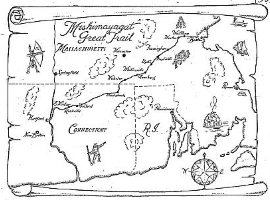
    Burma Road is also a section of the Old Connecticut Path as it heads towards the Langhammer property and later Fliegal Farm Woods.

    Links

    Peter Marteka – A Quiet, Fairyland Preserve in Willington (2009)

    Flyfisher’s Guide to Connecticut – Fenton River

    Tags
    • ★★☆☆☆
    • 2018
    • 2024
    • Explored
    • Old Connecticut Path
    • Peter Marteka
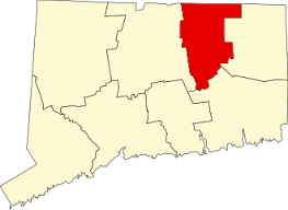
    • Tolland County
    • Willington
    Last Updated

    The information shown here is for general reference purposes only. exploreCT.org gives no warranty, expressed or implied, as to the accuracy or reliability of this data. Parking in all areas, whether designated here or not, is at your own risk. exploreCT.org is not responsible for any damage or loss to vehicles or contents. Last updated: March 3rd, 2024

    Trail Map
    Location
    • VQXF+4G Willington, CT, USA

      Get Directions
    Gallery
    Categories
    • Hiking
    Gallery
  • No comments yet.
  • Add a review

    Leave a Reply · Cancel reply

    Your email address will not be published. Required fields are marked *

    Overall Rating

    You May Also Be Interested In

    Spruce Brook Falls

    • ★★★★★
    • 16 miles
    Featured
    FW6F+CW Beacon Falls
    • Quick view
    • Bookmark

    Thach Preserve

    • ★★☆☆☆
    • 1 miles
    123 Brush Hill Rd
    • Quick view
    • Bookmark

    Mendell's Folly

    • ★★★★☆
    • 3.8 miles
    390 Beacon Rd
    • Quick view
    • Bookmark

    Hi, I’m Matt.

    I’m building ExploreCT to be the guide for all your outdoor adventures. All the trails, views, and waterways this great state has to offer.

    Now get out and explore!

    Monthly Newsletter

    Each month I share site updates or an interesting article in my newsletter. It’s short, sweet, and practical.

    600+ explorers read it, I’d love for you to join.

    Thank you!

    You have successfully joined our subscriber list.

    X-twitter Youtube Envelope Instagram

    Cart

      • Facebook
      • X
      • WhatsApp
      • Telegram
      • LinkedIn
      • Tumblr
      • Reddit
      • VKontakte
      • Mail
      • Copy link
      • Share via...
      • Threads
      • Bluesky