Site logo
    • Explore
      • Blue-Blaze Trails
      • Land Trusts
      • State Parks and Forests
      • By Town
    • exploreCT+
      • Membership
      • Shop
      • Events
    • Blog
    • Town Guides
    Sign in or Register
    Listing cover image

    Wolf Rock

    • Trails
      3 miles
    • Rating
      ★★★☆☆
    • Address
      QQ5P+HQ Mansfield, CT, USA
    • Explore
    • Trail Map
    • Reviews 0
    • New Page
    • prev
    • next
    • Bookmark
    • Share
    • Get directions
    • Report
    • prev
    • next
    At A Glance

    Joshua’s Trust

    108.3 acres in Mansfield, CT

    Parking: Shoulder parking near 62 Crane Hill Rd Storrs, CT

    Trail Map             Trails: 3 miles         Rating: ★★★☆☆

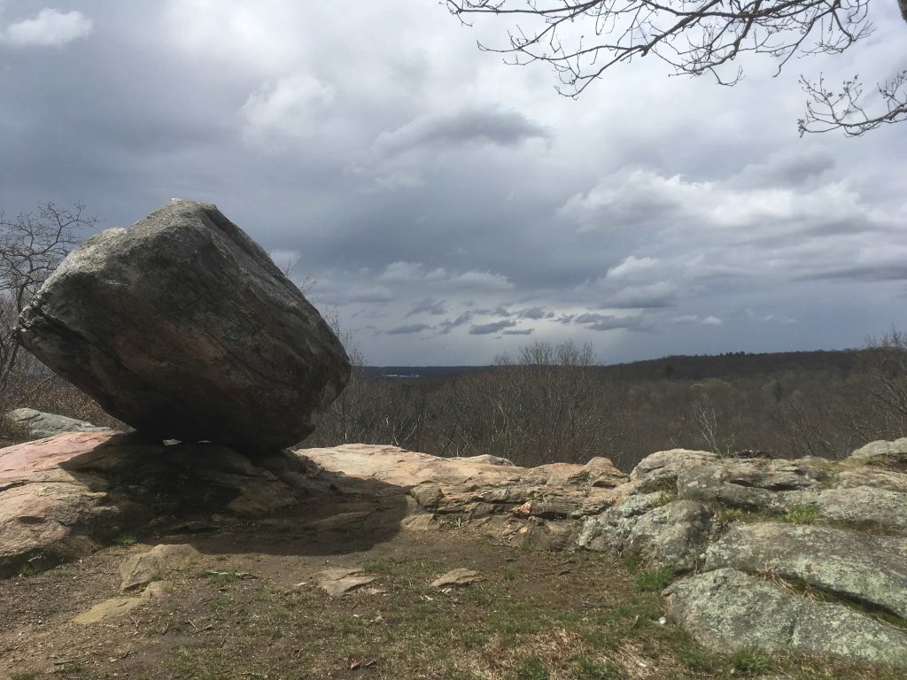
    Wolf Rock’s main feature is the erratic perched on the ledge overlooking the Sawmill Brook valley.

    Hiking

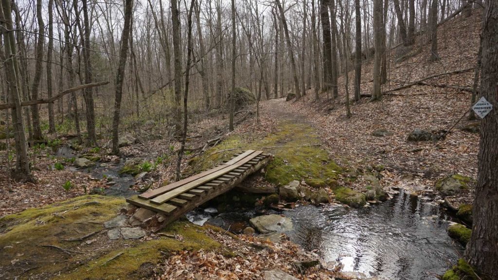
    It contains a portion of the blue blaze Nipmuck Trail, a yellow blazed loop trail, and unofficial extensions made by local mountain bikers.  The map below shows all the trails combined including Sawmill Brook to the south.

    Wolf Rock connects south to Sawmill Brook Preserve and north to Schoolhouse Brook Park

    Rock Climbing

    Wolf Rock is popular local spot for rock climbing with easy top rope or trad climbing.  Their are two faces the upper tier right below the overlook with a handful of beginner climbs.

    A bit futher down is the lower face with slightly harder vertical options.

    History

    First preserved in 1971 with several additions since then.

    Links

    Peter Marteka – Glacial Rock Highlights Mansfield’s Wolf Rock Preserve (2008)

    Summit Post – Rock Climb Wolf Rock

    Tags
    • ★★★☆☆
    • 2017
    • 2016
    • 2018
    • 2019
    • 2020
    • 2022
    • 2023
    • Explored
    • Joshua's Trust
    • Mansfield
    • Nipmuck Trail
    • Overlooks
    • Peter Marteka
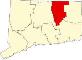
    • Tolland County
    Last Updated

    The information shown here is for general reference purposes only. exploreCT.org gives no warranty, expressed or implied, as to the accuracy or reliability of this data. Parking in all areas, whether designated here or not, is at your own risk. exploreCT.org is not responsible for any damage or loss to vehicles or contents. Last updated April 22nd, 2019

    Trail Map
    Location
    • QQ5P+HQ Mansfield, CT, USA

      Get Directions
    Gallery
    Video
    Categories
    • Hiking
    • Rock Climbing
    Gallery
  • No comments yet.
  • Add a review

    Leave a Reply · Cancel reply

    Your email address will not be published. Required fields are marked *

    Overall Rating

    You May Also Be Interested In

    Spruce Brook Falls

    • ★★★★★
    • 16 miles
    Featured
    FW6F+CW Beacon Falls
    • Quick view
    • Bookmark

    Thach Preserve

    • ★★☆☆☆
    • 1 miles
    123 Brush Hill Rd
    • Quick view
    • Bookmark

    Mendell's Folly

    • ★★★★☆
    • 3.8 miles
    390 Beacon Rd
    • Quick view
    • Bookmark

    Hi, I’m Matt.

    I’m building ExploreCT to be the guide for all your outdoor adventures. All the trails, views, and waterways this great state has to offer.

    Now get out and explore!

    Monthly Newsletter

    Each month I share site updates or an interesting article in my newsletter. It’s short, sweet, and practical.

    600+ explorers read it, I’d love for you to join.

    Thank you!

    You have successfully joined our subscriber list.

    X-twitter Youtube Envelope Instagram

    Cart

      • Facebook
      • X
      • WhatsApp
      • Telegram
      • LinkedIn
      • Tumblr
      • Reddit
      • VKontakte
      • Mail
      • Copy link
      • Share via...
      • Threads
      • Bluesky