Willimantic Whitewater Park

Willimantic Town Park

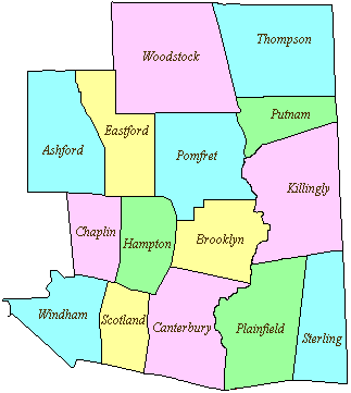
1 acre in Windham, CT

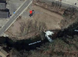
Parking: Small lot near 28 Bridge St, Willimantic, CT

Trail Map         Trails: No trails but access to the Air Line Trail       Rating: ★☆☆☆☆


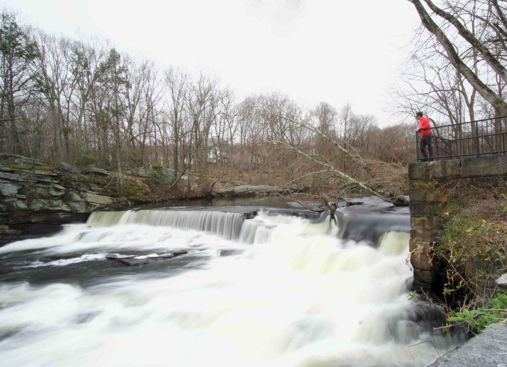
The group behind this project has been working to make this vision a reality since at least 2004.  Enthusiasm has been high despite the long wait because this stretch of the Willimantic River has an 80-foot drop over 1.5 miles of river, which would classify it as a class IV or V kayak run, rare in Connecticut.

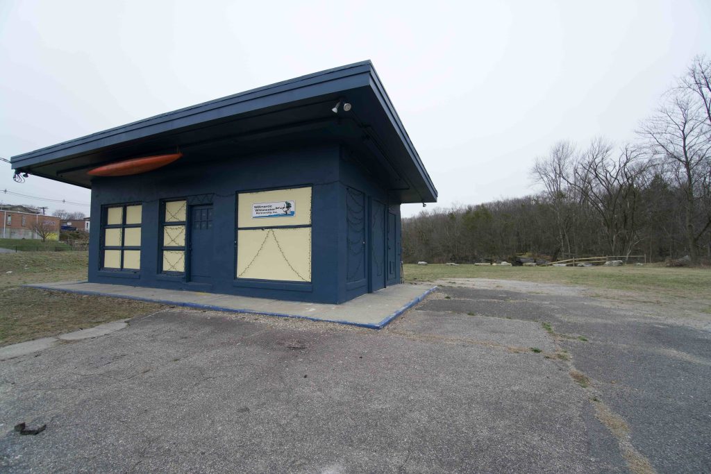
The park has held numerous events over the years and is the current home of the Willimantic Farmer’s Market on Saturdays 8am to noon.

There is a waterfall here over the man made Boland Dam, which has been extensively studied for removal.  While still waiting to be turned into its vision of a whitewater park it currently serves as a stop on the Air Line Trail as it passes through it’s one road stretch in Willimantic.

History:


Links:

The information shown here is for general reference purposes only. exploreCT.org gives no warranty, expressed or implied, as to the accuracy or reliability of this data. Parking in all areas, whether designated here or not, is at your own risk. exploreCT.org is not responsible for any damage or loss to vehicles or contents.
Last updated March 28th, 2021

Visited 2004 times, 2 Visits today

Related Listings

Barnes Boat Launch

★★☆☆☆

41.998262, -72.605292

Donald W. Barnes Boat Launch Connecticut River Boat Launch in Enfield, CT Parking: Medium sized lot near S River St, Enfield, CT Trail Map Barnes Boat launch… Read more…

McLean Game Refuge

★★★★☆

109 Salmon Brook St, Granby, CT 06035, USA

McLean Game Refuge Donated to the People of Connecticut by George P. McLean 4,400 acres in Granby and Simsbury, CT Parking: Main Parking: Large lot near 109…

Bafflin Sanctuary

★★☆☆☆

218 Day Road, Pomfret Center, CT, United States

Bafflin Sanctuary Audubon Society 692 acres in Pomfret, CT Parking: Small lot at 85 Pomfret St Pomfret, CT or near 218 Day Rd Pomfret, CT Trail Map   …