Site logo
    • Explore
      • Blue-Blaze Trails
      • Land Trusts
      • State Parks and Forests
      • By Town
    • exploreCT+
      • Membership
      • Shop
      • Events
    • Blog
    • Town Guides
    Sign in or Register
    Listing cover image

    Will Warren’s Den

    • Trails
      4 miles
    • Rating
      ★★★★☆
    • Address
      200 Colt Highway, Farmington, CT, USA
    • Explore
    • Trail Map
    • Reviews 0
    • New Page
    • prev
    • next
    • Bookmark
    • Share
    • Get directions
    • Report
    • prev
    • next
    At A Glance

    Metacomet: Will Warren’s Den

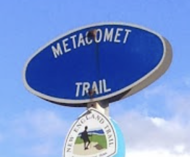
    Metacomet Blue Blaze Trail

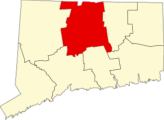
    acres in Farmington and Plainville, CT

    Parking:

    • Main parking north end: Medium pull-off 200 Colt Highway (Route 6), Farmington, CT
    • South end: Large lot near 405 New Britain Ave, Plainville, CT

    Trail Map        Trails: 4.1 miles       Rating: ★★★★☆

    This popular section of the blue blaze Metacomet Trail is packed with overlooks, rugged terrain, rock climbing, and the history of both Will Warren’s Den and Hospital Rock.

    Hiking

    Starting from the parking off Rt. 6 the short access trail soon joins the Metacomet / New England Trail.  I first visited in the summer of 2018 and believe the trail has only gotten more popular since then.  My February 2023 visit found this trail a mud pit despite the conscientious effort of the volunteer trail maintainers.  The first 0.8 miles or so are switchback uphill on well traveled but very muddy trail until you enter the rocky ledges.

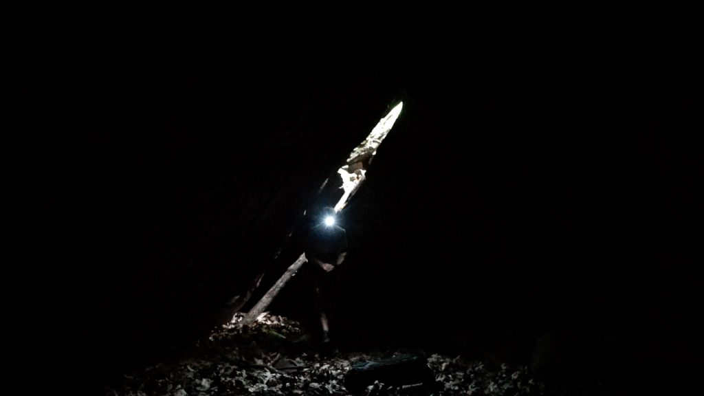
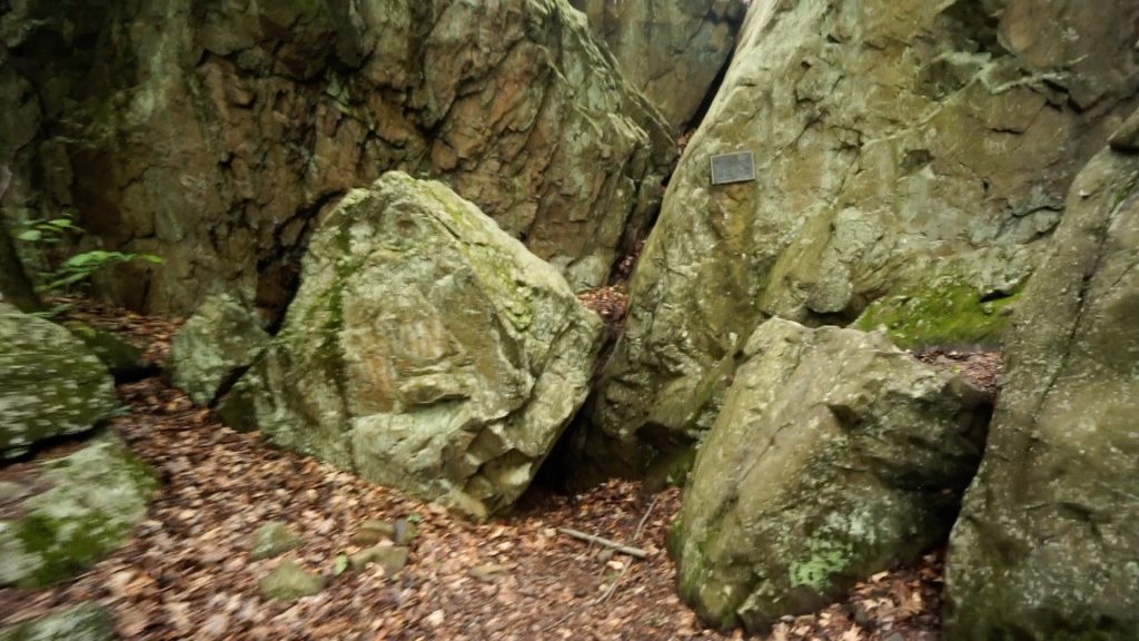
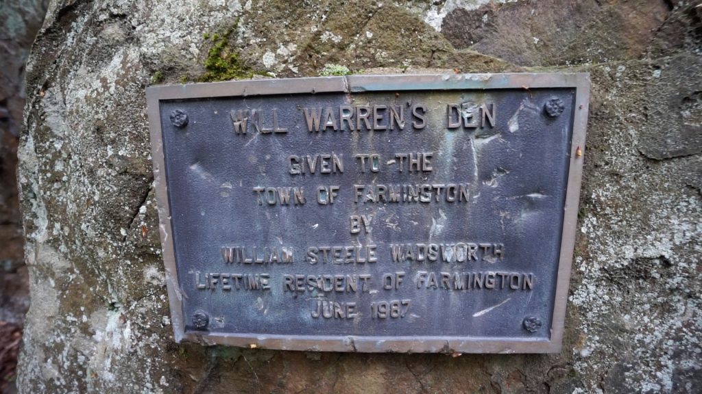
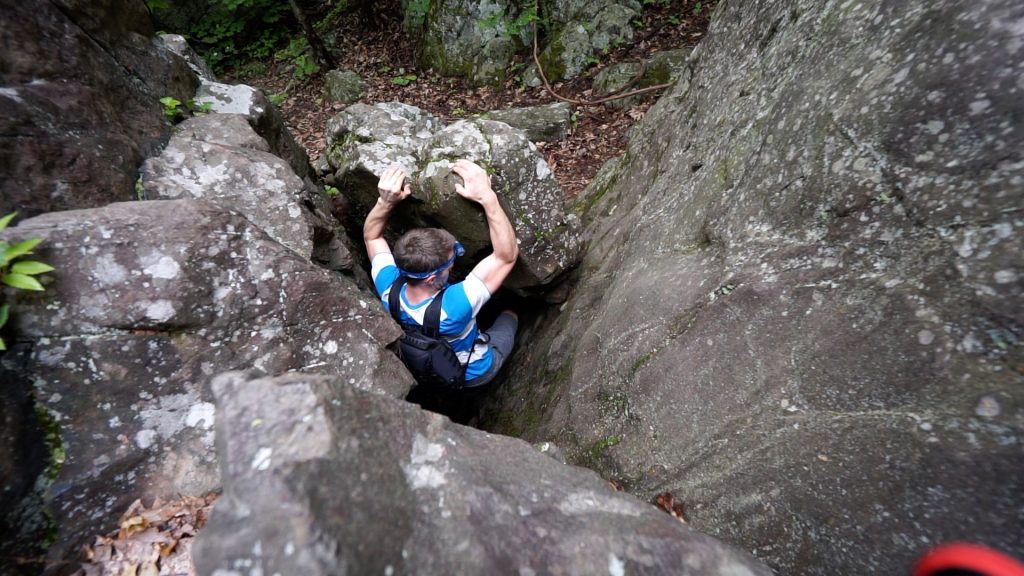
    It will be another 0.4 miles (1.2 total so far) through these rocky ledges many of which are used for bouldering until you reach Will Warren’s Den.  There is a small plaque affixed to the rock announcing the den and a low front entrance that may or may not be dug out on your visit.  Either way climbing into this crevice is one of two options to enter this ‘cave’.  The second is found by working around the massive boulders to the back where a high gap in the rocks and a well placed branch allow the adventurous to climb down in.  The den is a good sized chamber between these rocks though ultimately not much to see.

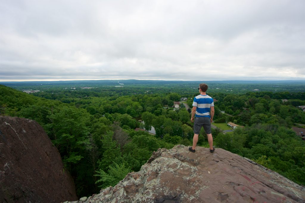
    Just beyond the den is the Rattlesnake Mountain overlook with cliff views south over Farmington and Plainville.  The Metacomet then descends along the cliff face, crosses a utility corridor, and then climbs up and down on rugged trail for another mile until reaching Pinnacle Rock (one of many such named pinnacles in the state) with 180 degree views farther south and back towards Rattlesnake.

    Just before the cliff are some old ruins of Nike Missile site HA-67 operational from 1956–61.  There are also some well crafted wooden benches along the old road here and some new orange blazes that I decided not to explore further.

    If you hike on the old roads here heading east you will also find the archaeological site Hospital Rock.

    Heading north: Farmington Reservoir

    Heading south: 0.8 mile road walk coming from Sunset Rock State Park

    Rock Climbing

    This area is one of the best concentrated areas of legal climbing and bouldering in the state.  There are at least six areas:

    • Porcupine Hole
    • Will Warren’s Den
    • Kung Fu Cave
    • Rattlesnake Cliff
    • Cracked Wall / Dreamweaver Wall
    • Pinnacle Rock
    History

    Will Warren’s Den and eight surrounding acres were given to the Town of Farmington in 1987 as the bequest of a longtime resident and leader, William Steele Wadsworth.

    Links

    Peter Marteka – There’s History, Legend at Will Warren’s Den (2008)

    CTMQ – Will Warren’s Den (2007)

    Tags
    • ★★★★☆
    • 2018
    • 2023
    • 2024
    • Explored
    • Caves
    • Farmington
    • Hartford County
    • History
    • Metacomet Trail
    • New England Trail
    • Overlooks
    • Peter Marteka
    • Plainville
    Last Updated

    The information shown here is for general reference purposes only. exploreCT.org gives no warranty, expressed or implied, as to the accuracy or reliability of this data. Parking in all areas, whether designated here or not, is at your own risk. exploreCT.org is not responsible for any damage or loss to vehicles or contents. Last updated February 13th, 2023

    Trail Map
    Location
    • 200 Colt Highway, Farmington, CT, USA

      Get Directions
    Gallery
    Video
    Categories
    • Hiking
    • Rock Climbing
    Gallery
  • No comments yet.
  • Add a review

    Leave a Reply · Cancel reply

    You must be logged in to post a comment.

    You May Also Be Interested In

    Spruce Brook Falls

    • ★★★★★
    • 16 miles
    Featured
    FW6F+CW Beacon Falls
    • Quick view
    • Bookmark

    Sparkle Lake Conservation Area

    • Unexplored
    • 0.5 miles
    155 Thomas Rd
    • Quick view
    • Bookmark

    Amos Lake Boat Launch

    • Unexplored
    176 CT-164
    • Quick view
    • Bookmark

    Hi, I’m Matt.

    I’m building ExploreCT to be the guide for all your outdoor adventures. All the trails, views, and waterways this great state has to offer.

    Now get out and explore!

    Monthly Newsletter

    Each month I share site updates or an interesting article in my newsletter. It’s short, sweet, and practical.

    600+ explorers read it, I’d love for you to join.

    Thank you!

    You have successfully joined our subscriber list.

    X-twitter Youtube Envelope Instagram

    Cart

      • Facebook
      • X
      • WhatsApp
      • Telegram
      • LinkedIn
      • Tumblr
      • Reddit
      • VKontakte
      • Mail
      • Copy link
      • Share via...
      • Threads
      • Bluesky