Whitestone Cliffs Trail

Connecticut Blue Blaze Trail and Connecticut State Forest

310 acres in Plymouth, CT

Parking: Small pull-off near 331 Mt Tobe Rd, Plymouth, CT

Trail Map          Trails: 1.7 miles       Rating: ★★★★☆


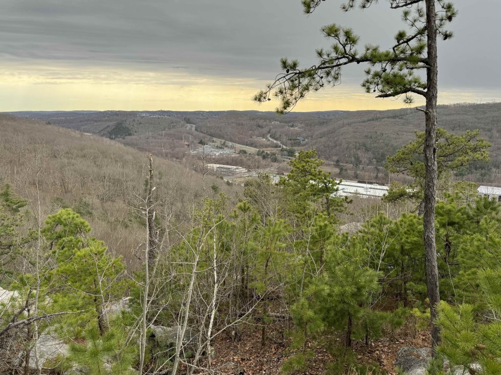
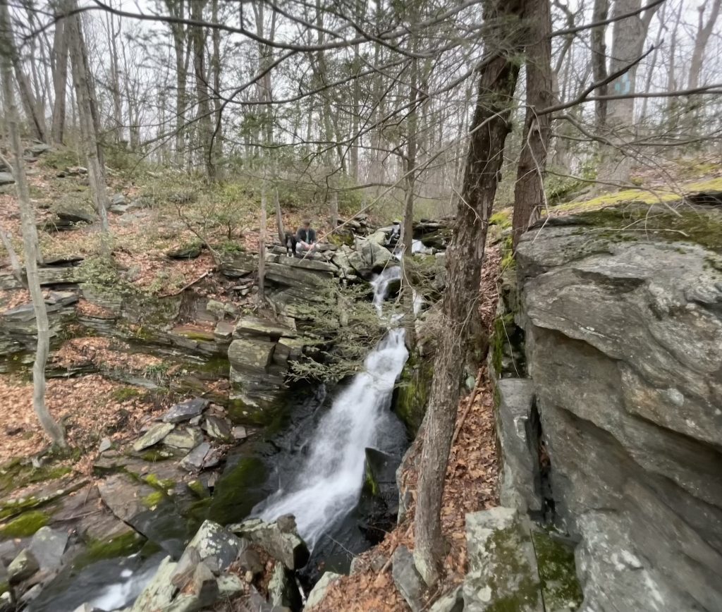
This short blue blaze loop takes advantage of spectacular terrain that packs everything you could want in a rugged little loop through a parcel of the Mattatuck State Forest.  There is an overlook, waterfalls, rocky knobs, and dense mountain laurel.

Hiking

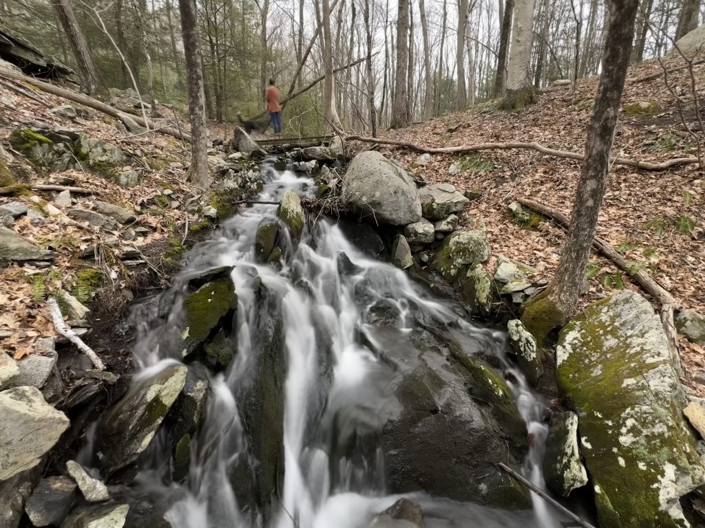
The trail starts behind the gated forest road and heads gradually uphill between huge rock formations.  As the hill levels out the trail takes a right turn following a wet section of an adjoining forest road that appears to be popular with all terrain vehicles. Thankfully you soon turn off to cross a bridge over a feeder stream to the Naugatuck River.  Just below the bridge is a nice cascade.

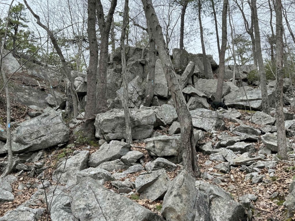
The trail then heads uphill through dense mountain laurel and forks into its loop.  I hiked it clockwise continuing straight up the hill instead of taking the right turn to reach the overlook sooner. The trail soon reaches a rock scramble section over ledges and slabs that may require some use of hands to get up.  At the top side trails lead off to the left for the views looking southwest.  The trail continues over this rocky highpoint providing similar views for a few hundred feet.

The trail then descends very steeply to reach the backside of these formations into a flooded bowl.  It is likely standing water for much of the year in this stretch and may require some careful footwork to keep your feet dry.  The trail then curves around rejoining some old forest road passing yet more impressive rock formations.

At a low point near Rt 262 the trail enters a spectacular rock face with rushing waterfall.  The trail switchbacks up a stepped section of the face to cross over the top of the waterfall.  Heading up and over another forested rocky knob you then descend steeply on switchbacks to the original fork to take the entrance trail back to the parking area.

History:


Links:

The information shown here is for general reference purposes only. exploreCT.org gives no warranty, expressed or implied, as to the accuracy or reliability of this data. Parking in all areas, whether designated here or not, is at your own risk. exploreCT.org is not responsible for any damage or loss to vehicles or contents.
Last updated April 14th, 2024

Visited 686 times, 1 Visits today

Related Listings

Metacomet: Kilkenny Rock

★★★☆☆

2865R Albany Ave, West Hartford, CT, USA

Metacomet: Kilkenny Rock Connecticut Blue Blaze Trail acres in West Hartford, CT Parking: Small pull-off near 2865R Albany Ave, West Hartford, CT Trail Map       Trails:…

Peoples State Forest

★★★★★

106 E River Rd, Barkhamsted, CT 06063, USA

Peoples State Forest Connecticut State Forest 3059 acres in Barkhamsted, CT Parking: Main parking with large lots near 106 E River Rd, Barkhamsted, CT Small pull-off for…

Weiss-Loveday Watershed

Unexplored

132 River Rd, Clinton, CT, USA

Weiss-Loveday Watershed Clinton Land Trust and Connecticut State Forest 65.79 acres in Clinton, CT Parking: Small lot near 132 River Rd, Clinton, CT Trail Map     …