Site logo
    • Explore
      • Blue-Blaze Trails
      • Land Trusts
      • State Parks and Forests
      • By Town
    • exploreCT+
      • Membership
      • Shop
      • Events
    • Blog
    • Town Guides
    Sign in or Register
    Listing cover image

    Westwoods

    • Trails
      20 miles
    • Rating
      ★★★★☆
    • Address
      1 Sam Hill Rd, Guilford, CT, USA
    • Explore
    • Trail Map
    • Reviews 0
    • New Page
    • prev
    • next
    • Bookmark
    • Share
    • Get directions
    • Report
    • prev
    • next
    At A Glance

    Guilford Land Trust

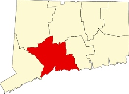
    1,200 acres in Guilford, CT

    Parking:

    • Small lot near 1 Sam Hill Rd, Guilford, CT
    • Small lot near 582 Dunk Rock Rd, Guilford, CT
    • Shoulder parking near 1070 Moose Hill Rd Guilford, CT

    Trail Map              Trails: 20+ miles              Rating: ★★★★☆

    While I’ve been to Westwoods multiple times, I have nowhere near scratched the surface of what it has to offer.  So unfortunately this is an incomplete guide.

    Hiking

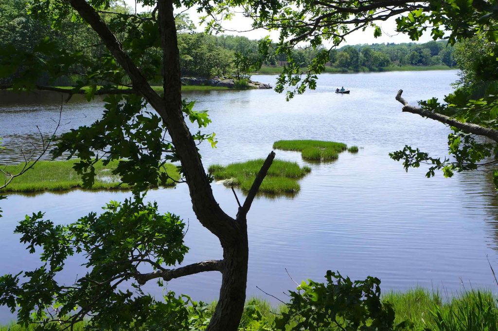
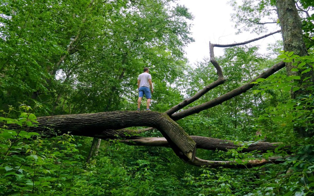
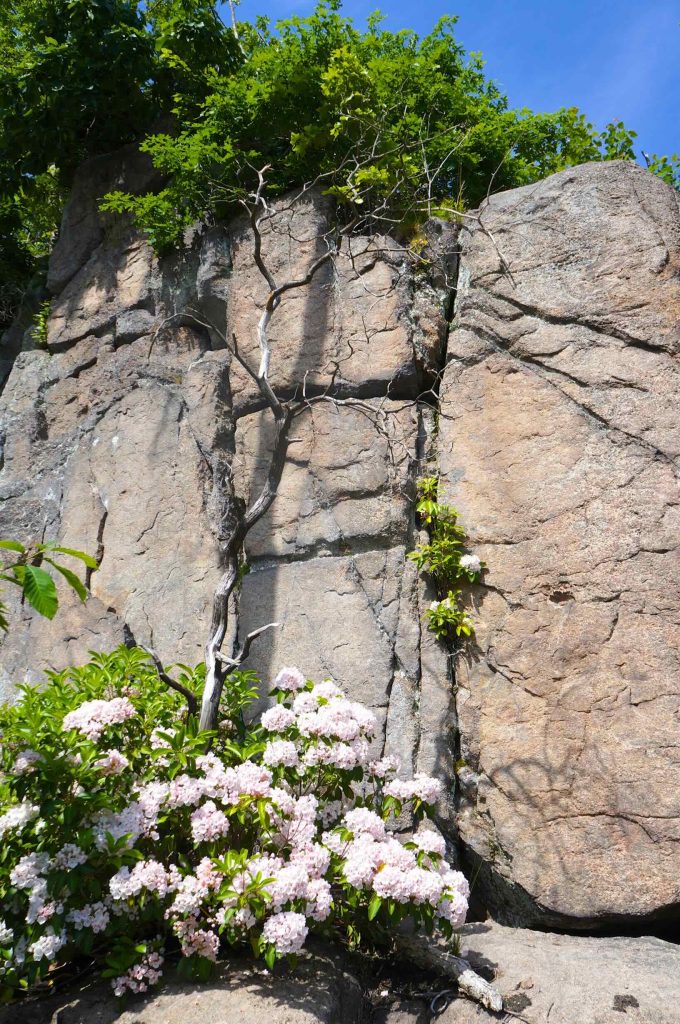
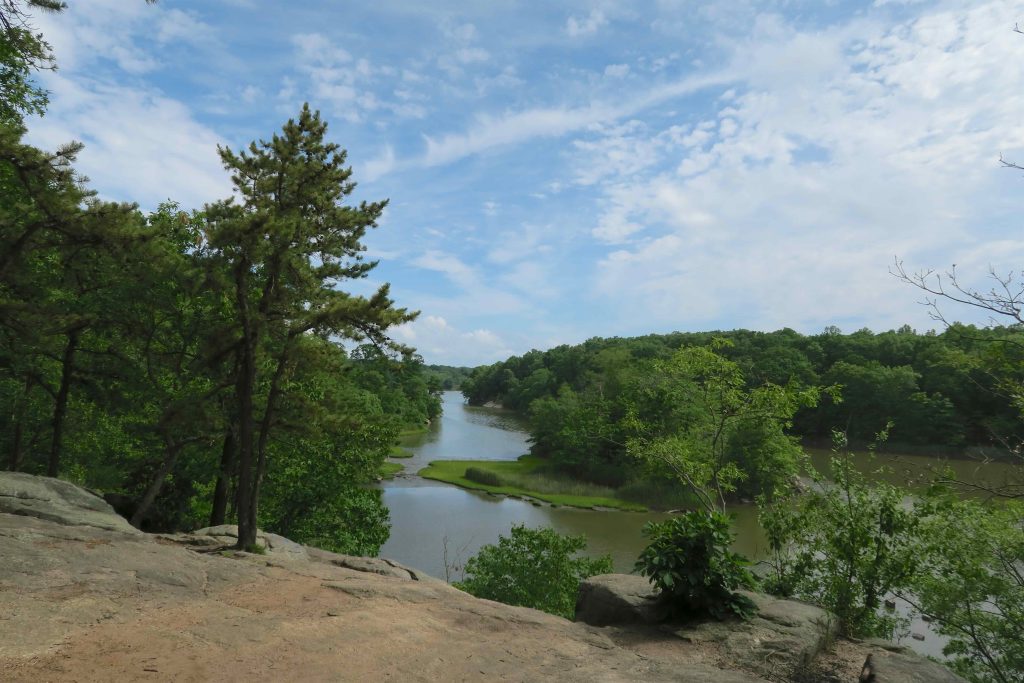
    Let’s start with what I know.  I usually start my hikes from the Sam Hill Rd entrance.  Trails head towards views of Lost Lake and following the white trail along the water provides several culminating in the Lost Lake Overlook.  The orange trail leads off into the woods from here following a line of ridges with a couple “caves”.

    Beyond the orange trail I’ve done mixes of the green, yellow, and purple but none of them are distinct in my memory.  What I do remember is that the network feels complex and a trail map definitely comes in handy.

    I have yet to explore any of the trails on the western side.

    History

    The first seven miles of the Westwoods trail system were blazed in 1966.

    Links

    Peter Marteka – Westwoods: A Daunting But Highly Rewarding Experience Along The Shoreline (2012)

    Mountain Bike Project – Westwoods

    Tags
    • ★★★★☆
    • 2018
    • Explored
    • Guilford
    • Guilford Land Trust
    • New Haven County
    • Peter Marteka
    Last Updated

    The information shown here is for general reference purposes only. exploreCT.org gives no warranty, expressed or implied, as to the accuracy or reliability of this data. Parking in all areas, whether designated here or not, is at your own risk. exploreCT.org is not responsible for any damage or loss to vehicles or contents. Last updated 2018

    Trail Map
    Location
    • 1 Sam Hill Rd, Guilford, CT, USA

      Get Directions
    Gallery
    Categories
    • Hiking
    • Mountain Biking
    Gallery
  • No comments yet.
  • Add a review

    Leave a Reply · Cancel reply

    Your email address will not be published. Required fields are marked *

    Overall Rating

    You May Also Be Interested In

    Spruce Brook Falls

    • ★★★★★
    • 16 miles
    Featured
    FW6F+CW Beacon Falls
    • Quick view
    • Bookmark

    Bartholomew Open Space

    • Unexplored
    • 0.6 miles
    72 Buttonball Rd
    • Quick view
    • Bookmark

    Avery Nature Preserve

    • Unexplored
    • 2.6 miles
    60R Scotch Cap Rd
    • Quick view
    • Bookmark

    Hi, I’m Matt.

    I’m building ExploreCT to be the guide for all your outdoor adventures. All the trails, views, and waterways this great state has to offer.

    Now get out and explore!

    Monthly Newsletter

    Each month I share site updates or an interesting article in my newsletter. It’s short, sweet, and practical.

    600+ explorers read it, I’d love for you to join.

    Thank you!

    You have successfully joined our subscriber list.

    X-twitter Youtube Envelope Instagram

    Cart

      • Facebook
      • X
      • WhatsApp
      • Telegram
      • LinkedIn
      • Tumblr
      • Reddit
      • VKontakte
      • Mail
      • Copy link
      • Share via...
      • Threads
      • Bluesky