Wadsworth Falls State Park

Connecticut State Park

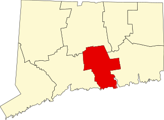
285 acres in Middlefield and Middletown, CT

Parking:

Trail Map             Trails: 3 miles         Rating: ★★★★☆


Wadsworth Falls has about three miles of trails traveling between the notable water features of the park.  The main entrance provides a large lot with easy access to the beach swimming area.  Popular in the summer, facilities include a picnic area, changing room, and bathrooms.

Hiking

Heading northeast from the beach area leads to a number of colored blazed trails.  Taking the Orange to the Blue trails will lead to Little Falls a tall but gentle fall that runs slowly most of the year.  There is an awkward section of trail at the end of the Orange blazed trail as it hits Cherry Hill Rd.  Due to the train tracks hikers must walk along Cherry Hill Rd a short distance to reach the main falls.

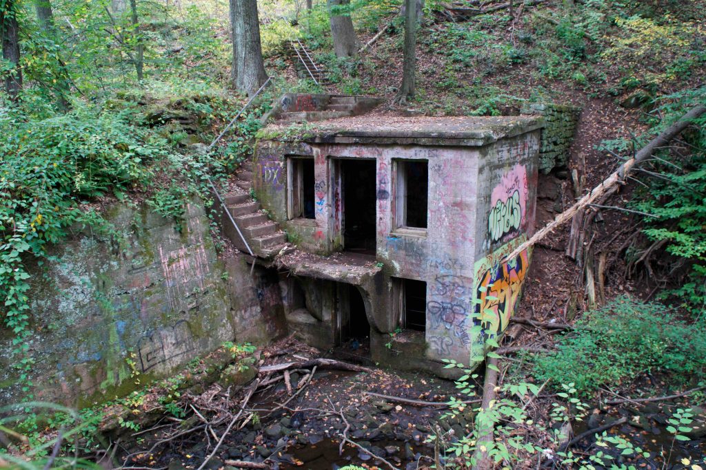
Another notable feature is the yellow trail along Laurel Grove Brook and the view of the old pumphouse.  The Purple trail follows an old sweeping road that originally led to the Wadsworth Estate.  It now crosses Laurel Grove Rd and provides access to the Wadsworth Estate grounds for additional hiking opportunities and sights.

Waterfall

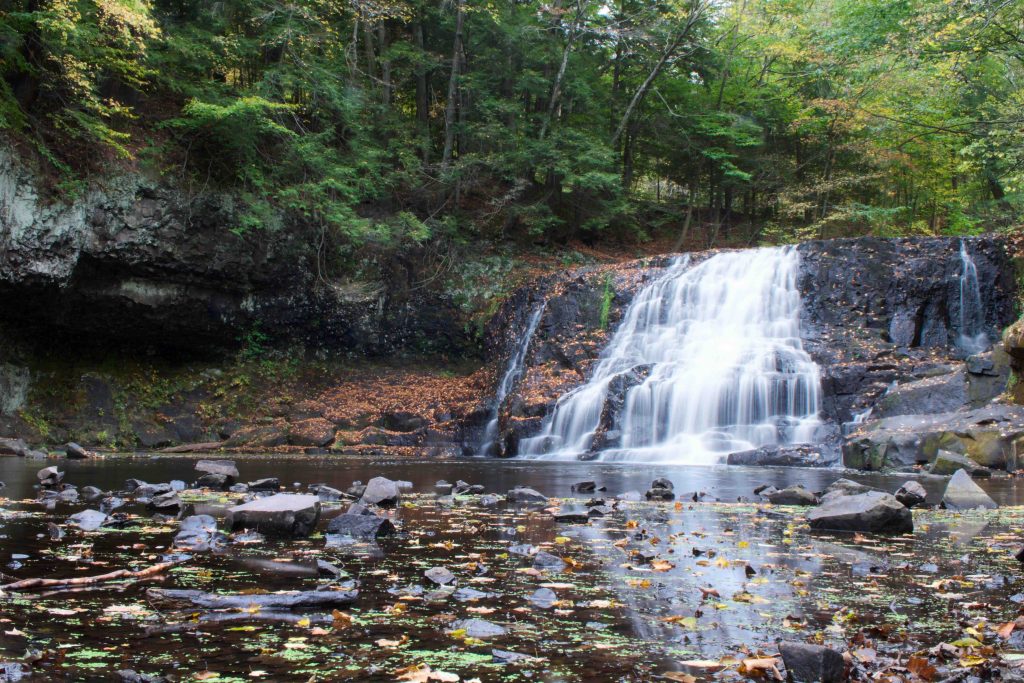
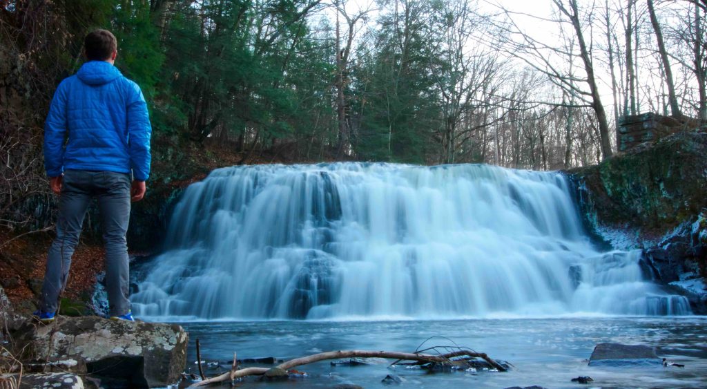
The main falls are just off the road near 25 Cherry Hill Rd.  There is easy parking that does fill up quickly on weekends.  From the parking lot, it is a very short walk downhill to a full view of the powerful falls.

Swimming

Swimming is currently prohibited at the falls but the beach area in the main section of the park has reopened after renovations.

Beach State and Water Quality reports can be found here: State Swimming Area Water Quality Report

History:

Established as a state park in 1942 when it was donated by Clarence Wadsworth.  It was originally part of his Long Hill estate.

Wadsworth Falls was one of the picks for the 2019 Sky’s the Limit Hiking Challenge.

In July of 2020, director Ron Howard visited the falls (twitter link).


Links:

The information shown here is for general reference purposes only. exploreCT.org gives no warranty, expressed or implied, as to the accuracy or reliability of this data. Parking in all areas, whether designated here or not, is at your own risk. exploreCT.org is not responsible for any damage or loss to vehicles or contents.
Last updated November 15th, 2019

Visited 8576 times, 1 Visits today

Related Listings

Tri-Mountain State Park

★★★☆☆

41.442427, -72.740176

Tri-Mountain State Park Connecticut State Park 157 acres in Durham and Wallingford, CT Parking: Shoulder parking near Howd Rd, Durham, CT Trail Map       Trails: 4.1…

Nayantaquit Trail

★★★☆☆

41.395990, -72.307044

Nehantic State Forest: Nayantaquit Trail Connecticut State Forest and Blue Blaze Trail 1,667 acres in Lyme, CT Parking: Large lot near Keeny Rd, Lyme, CT Trail Map … Read more…

Pomeroy State Park

★☆☆☆☆

93 Beaumont Hwy Lebanon, Connecticut

Pomeroy State Park Scenic Reserve Connecticut State Park 203 acres in Lebanon, CT Parking: A small unofficial pull off near 93 Beaumont Hwy Lebanon provides access Trail…