Upper Three Mile River Preserve

Old Lyme Land Trust

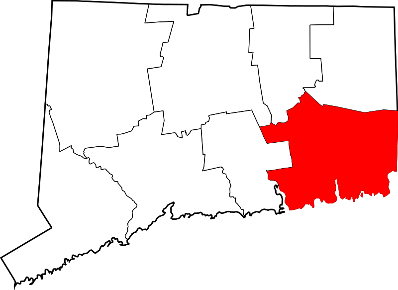
157 acres in Old Lyme, CT

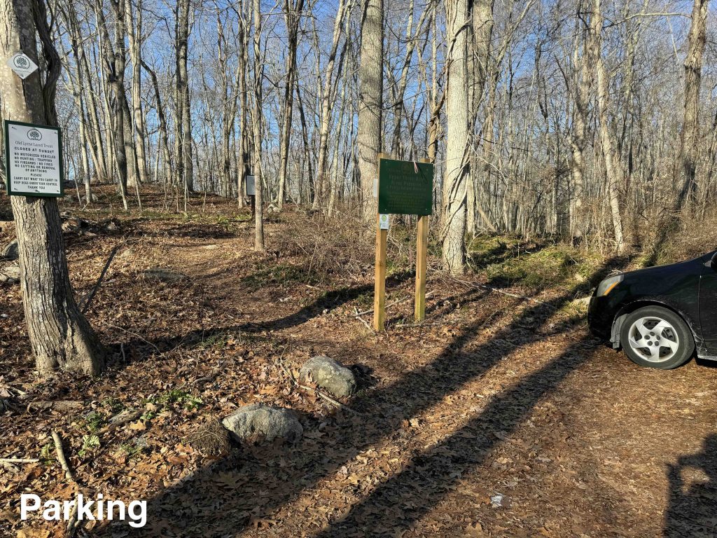
Parking: Shoulder parking near 106 4 Mile River Rd, Old Lyme, CT

Trail Map        Trails: 2.8 miles        Rating: ★★★★☆


The Upper Three Mile River Preserve is the second largest preserve in town and just about the most rugged and wild you’ll get in this area of the state.  My mid-January hike was an early highlight of the year and I loved the thick mountain laurel, rocky terrain, and clear swift waters.

Hiking

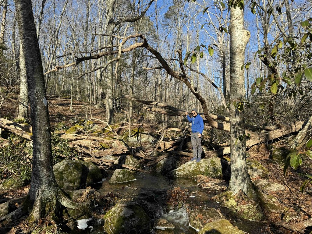
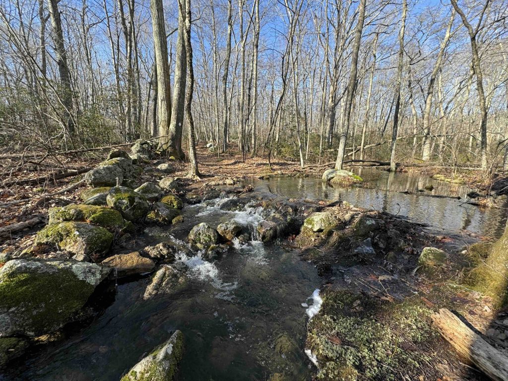
Starting from the parking on 4 Mile River Road the white blazed trail winds through rocks to cross under power lines and downhill to cross an unnamed stream.  There is a bench here with a view of the tiny cascade, clear shallow waters, and a marshy pond beyond.  Thick roots climb up and over the rocks as you hop across to where the trail forks on the other side. I took the right fork climbing the along the bank before entering a long stretch of rocky mountain laurel.

The trail blazes switch to red/white as you enter private property.  The Old Lyme Land Trust received an easement to extend the loop through this spectacular terrain so please stay on the trail.  The trail just misses a ridge line off to the right so you are afforded only one brief view down through the forest.

The rest of this red portion curls around an inner bowl of terrain with high hills on all sides before finally reaching a shallow pool along the Upper Three Mile River.  After another rock hop over a tiny cascade you exit the private property and enter the Denison Farm area which dates back to 1800.

This stretch is filled with stonewalls spotting the area and curving around boulders.  The trail begins to climb again through more mountain laurel to attain a new ridge.  The forest changes to open understory and while clear atop there isn’t much to see.  Descending the other side takes you back to the loop fork and back to the parking area.

The land trust hopes to expand the property and link it with other properties to the west to create a cross-town walking trail.

History:

First preserved when the land trust purchased a land locked parcel in 2004.


Links:

The information shown here is for general reference purposes only. exploreCT.org gives no warranty, expressed or implied, as to the accuracy or reliability of this data. Parking in all areas, whether designated here or not, is at your own risk. exploreCT.org is not responsible for any damage or loss to vehicles or contents.
Last updated January 15, 2024

Visited 1639 times, 1 Visits today

Related Listings

Brainerd Quarry Preserve

★★★☆☆

41.488694, -72.505217

Brainerd Quarry Preserve Middlesex Land Trust 50 acres in Haddam, CT Parking: Shoulder parking near 213 Injun Hollow Rd East Hampton, CT Trail Map         …

Church Farm

★★☆☆☆

41.838798, -72.171105

Church Farm Joshua’s Trust Property 79 acres in Ashford, CT Parking: Main Parking: Small pull off near 29 Varga Rd, Ashford, CT for blue access trail Shoulder… Read more…

The Preserve

Unexplored

41.320698, -72.406485

The Preserve Essex Land Trust, Old Saybrook Town Park, State Forest 963 acres in Essex, Old Saybrook, and Westbrook, CT Parking: Essex Parking: Small lot at the… Read more…