Tri State Border Marker CT, MA, RI
in Thompson, CT
Parking: Small lot near 652 E Thompson Rd, Thompson, CT
Trail Map. Trails: 2 miles Rating: ★★★☆☆
This northernmost section of the Air Line Trail is also one of the most interesting featuring an old bridge and a mysterious “Hermit Cave” culminating in the border marker tri-point for Connecticut, Massachusetts, and Rhode Island.
Hiking
From the parking area on East Thompson Rd the Air Line crosses the road and heads up a small hill to a typical flat and easy Air Line Trail walk. There are houses along either side of the trail but they soon fade away. You’ll soon reach the abandoned bridge over trail which I’ve read was used to transport cattle over the railway. A short steep climb on either side of the trail will bring you up to the bridge. On the north side is also the ‘Hermit Cave’ a small rock lined dugout. Lots of hypotheses about its origins and use, but nothing certain with the simplest explination being a root cellar.
Continuing on the Air Line the trail meets the Massachusetts border at about 0.6 miles near a gate. A trail on the right side should be marked with a small sign which quickly leads to a CT/MA border marker and then continues over rolling terrain up to the tri-point.
Continuing on the Air Line Trail into Massachusetts enters their Douglas State Forest and the trail name switches to Southern New England Trunkline Trail which can be followed for another 21 miles to Franklin, MA.
Boundary Marker
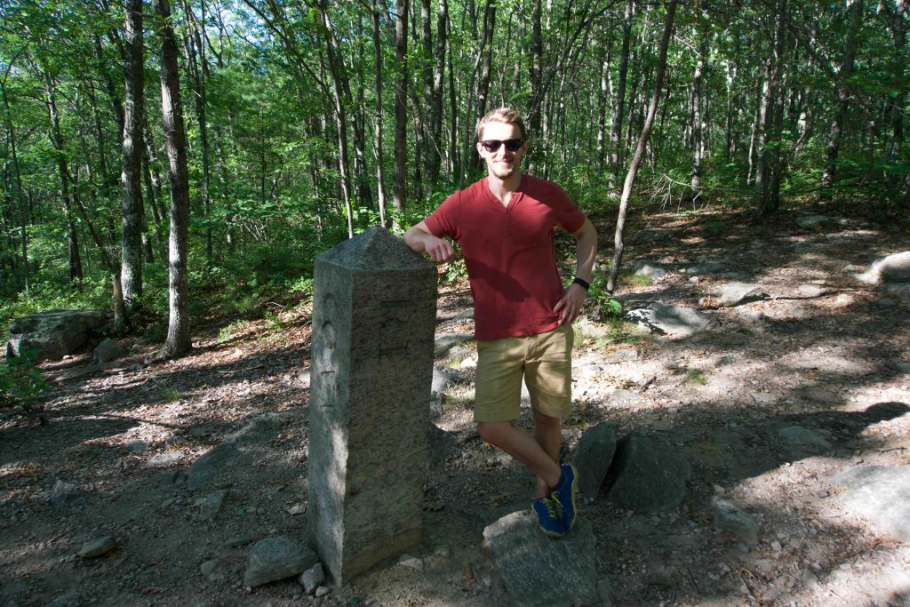
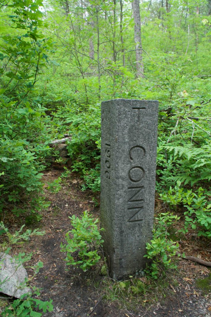
The boundary is marked by a granite monument that stands 4ft above the ground (though there are another 5ft sunk into the ground) in a tiny clearing on a hill.
It is 14 inches square with a 6 inch pyramidal top, lettered “MASS 1883” on the north face, “R.I. 1883” on the south face and “CONN” on the west face. The Connecticut side isn’t dated because the state didn’t agree with the boundary line.
History:
The boundary monument was set in October or November 1883, by a Massachusetts/Rhode Island Commission.
Links:
- CTMQ – CT-MA-RI Tri-Point (2011)
- Peter Marteka – A Journey To A Place Where Three States Meet (2011)
- CT Department of Transportation – CT/MA Boundary Perambulation Report (1997)
The information shown here is for general reference purposes only. exploreCT.org gives no warranty, expressed or implied, as to the accuracy or reliability of this data. Parking in all areas, whether designated here or not, is at your own risk. exploreCT.org is not responsible for any damage or loss to vehicles or contents.
Last updated June 18th, 2017
Visited 11739 times, 90 Visits today