Tidal Marsh Trail

North Haven Trail Association

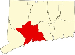
15 acres in North Haven, CT

Parking: Medium sized parking lot behind Target near 200 Universal Dr, North Haven, CT

Trail Map         Trails: 0.52 miles    Rating: ★★★☆☆


Thought this trail has an odd starting point behind the Target in a large retail plaza it is well worth the visit.

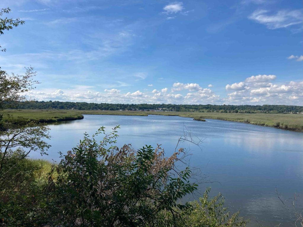
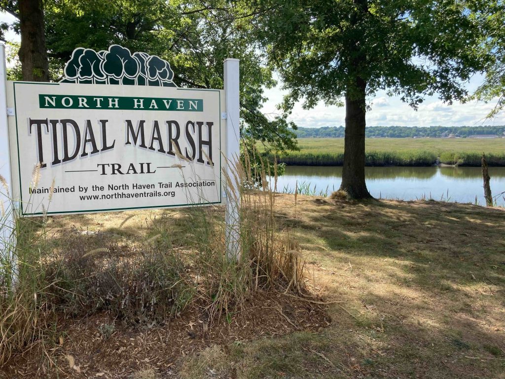
From the large trailhead sign the trail follows a high sandy bank above the Quinnipiac River.  The trail is well maintained (with overgrowth likely cut back with just a couple days of my visit) a stretch of abandoned railway.  Though this section of the river is  about 7 miles inland it is affected by the tides and across the river is a view of the brackish marsh.

It is a productive nesting area for osprey, you’ll be able to see a nesting platform over the water.  There were also gulls, heron, wood ducks, and woodpeckers along the trail and out in the water.  From the high banks you slowly descend to the waters edge about 0.4 miles in so skip all the steep slides down to the water earlier.  This trail will likely have to be rerouted in just a few years due to erosion issues along the bank.

The waters edge provides an access point to get up close and personal with the brackish marsh a pretty rare wetland habitat. The marsh formerly supported one of the state’s largest populations of Muskrat, but encroachment by invasive phragmites have brought their numbers down.  This spot also provides a great view of Sleeping Giant about five miles away to the northwest.

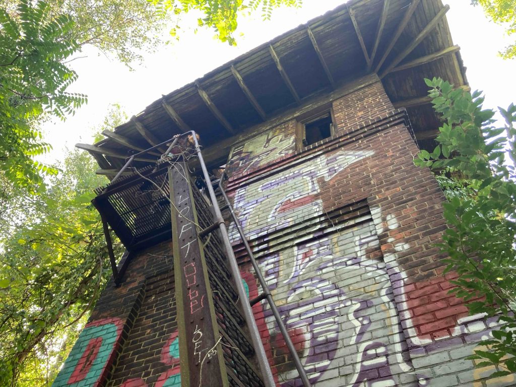
The trail then turns away from the water and into the forest officially ending at a heavily graffitied tunnel under the abandoned rail tracks.

Adventurous explorers can continue through or over the tunnel to explore the area’s industrial history in the abandoned Cedar Hill rail yardNote: there is a high likelihood you’ll pick up dozens of ticks exploring this area. The area is easy enough to explore with a couple towers, rusting metal, abandoned track, and the polar bear sculpture by artist Craze.

History:


Links:

The information shown here is for general reference purposes only. exploreCT.org gives no warranty, expressed or implied, as to the accuracy or reliability of this data. Parking in all areas, whether designated here or not, is at your own risk. exploreCT.org is not responsible for any damage or loss to vehicles or contents.
Last updated August 21st, 2022

Visited 1947 times, 1 Visits today

Related Listings

Rock Spring Preserve

★★★☆☆

286 Pudding Hill Rd, Scotland, CT, USA

Rock Spring Preserve The Nature Conservancy 450 acres in Scotland, CT Parking: Small pull off near 286 Pudding Hill Rd Scotland, CT Trail Map         …

Ledge Light

★★☆☆☆

New London Ledge Lighthouse, Maritime Society, Bank St, New London, CT, USA

Ledge Lighthouse Lighthouse in New London and Groton, CT Parking: Accessed from water only, nearest boat launch near 52-98 Bayberry Ln, Groton, CT Trail Map     …

Westfield Falls

★★★☆☆

41.580506, -72.714953

Westfield Falls Middletown Town Park 4 acres in Middletown, CT Parking: Shoulder parking near 267 Miner St Middletown, CT Trail Map           Trails: 0.3…