


Last Updated
Last updated October 7th, 2020 The information shown here is for general reference purposes only. exploreCT.org gives no warranty, expressed or implied, as to the accuracy or reliability of this data. Parking in all areas, whether designated here or not, is at your own risk. exploreCT.org is not responsible for any damage or loss to vehicles or contents.


matt@explorect.org
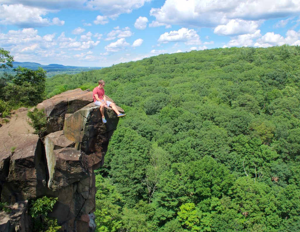
January 14, 2025 at 7:53 pmGreat hike, worth visiting over and over!