Photos

Description

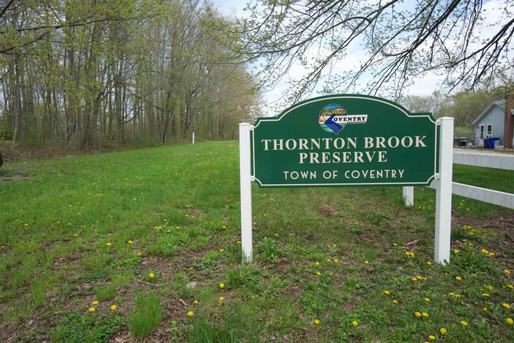
Thornton Brook Preserve

Coventry Town Park

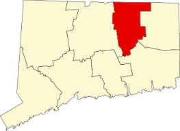
63 acres in Coventry, CT

Parking: Space for 2-3 cars near 475 Pucker St Coventry, CT

Trail Map     Trails: 1 mile      Rating: ★☆☆☆☆


There aren’t many mentions of the Thornton Brook Preserve online and the only reason I found out it existed was driving past it on my way to the Nathan Hale State Forest. I remembered the name and was able to find a rough trail map online, but no further information.

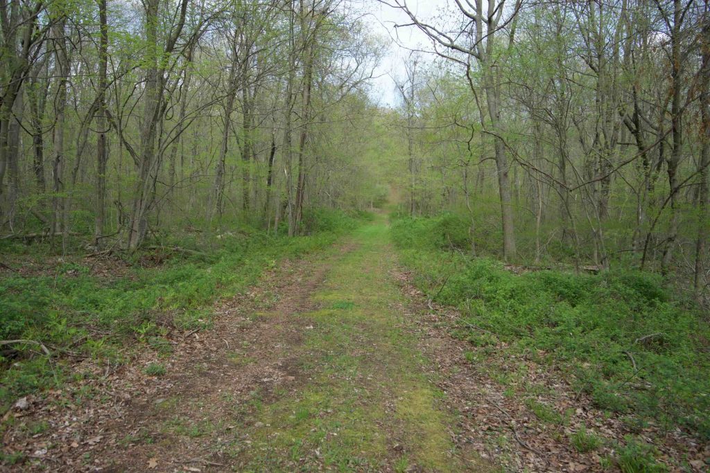
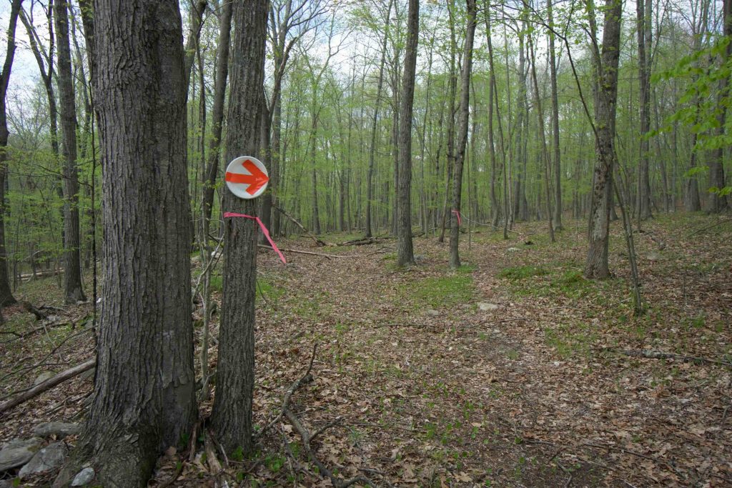
I headed back the next day and ventured down the wide mown path that was filled with rabbits and robins.  The path dipped into the woods before crossing over Thornton Brook.  From there the trail headed uphill and I caught my first glimpse of a styrofoam plate with an orange arrow.  Taking it as my first trail marker I followed it around the northwestern edge of the loop.  The trail was a little faint and covered in branches from recent storms.  I started off moving them out of the way, trying to be a good volunteer steward, but soon gave up since there were so many.  Along the backside of the loop, the trail faded out for good but I was able to see another styrofoam plate through the trees.

I wouldn’t advise it since it definitely passes outside the open space property, but the plates guide you past enormous fallen trees to an old woods road winding way out and around on rough trail before dropping you back on the where you came in.  There were recent horse hoofprints possibly from Tara Farm Rescue.

The rest of the trails on the actual Thornton Brook Property look as though they haven’t been used in a long time and it was only through guessing where they should be was I able to pick up the marks that guided me back to the start.  Here’s a map of the hike I ended up doing:

History:

Established as an open space property in 2013.  The northern 27 acres were set aside from the Thornton Meadow Subdivision and the southern 36 acres were purchased from the Estate of Frederick J. Malon, who owned and managed the forest here.


Links:

The information shown here is for general reference purposes only. exploreCT.org gives no warranty, expressed or implied, as to the accuracy or reliability of this data. Parking in all areas, whether designated here or not, is at your own risk. exploreCT.org is not responsible for any damage or loss to vehicles or contents.
Last updated May 7th, 2018

Visited 1225 times, 1 Visits today

Related Listings

Blackwell Brook

★☆☆☆☆

41.754322, -71.949377

Blackwell Brook Trail Brooklyn Town Park 86 acres in Brooklyn, CT Parking: Pull off for two cars 500 ft from 78 Beecher Rd Brooklyn, CT Trail Map    …

Bear Hill

★★☆☆☆

41.532457, -72.59797

Mattabesett: Bear Hill & Kätchen Coley Mountain Laurel Preserve CFPA Blue Blaze Trail and Middletown Town Park 100 acres in Middletown, CT Parking: North End: Shoulder parking… Read more…

Langhammer Trail

★★☆☆☆

41.899796, -72.211855

Langhammer Trail Ashford Town Open Space 73 acres in Ashford, CT Parking: Small lot near 100 Lustig Rd, Ashford, CT 06278 Trail Map      Trails: 1.2…