Nathan and Anne Talbot Wildlife Management Area

Connecticut WMA

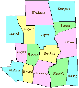
517 acres in Scotland, CT

Parking: Small lot near 302 Bass Rd, Scotland, CT

Trail Map           Trails: 3 miles         Rating: ★★☆☆☆


Note: As a WMA this area is open to hunting so it is a good idea to wear orange especially September – December.

Hiking

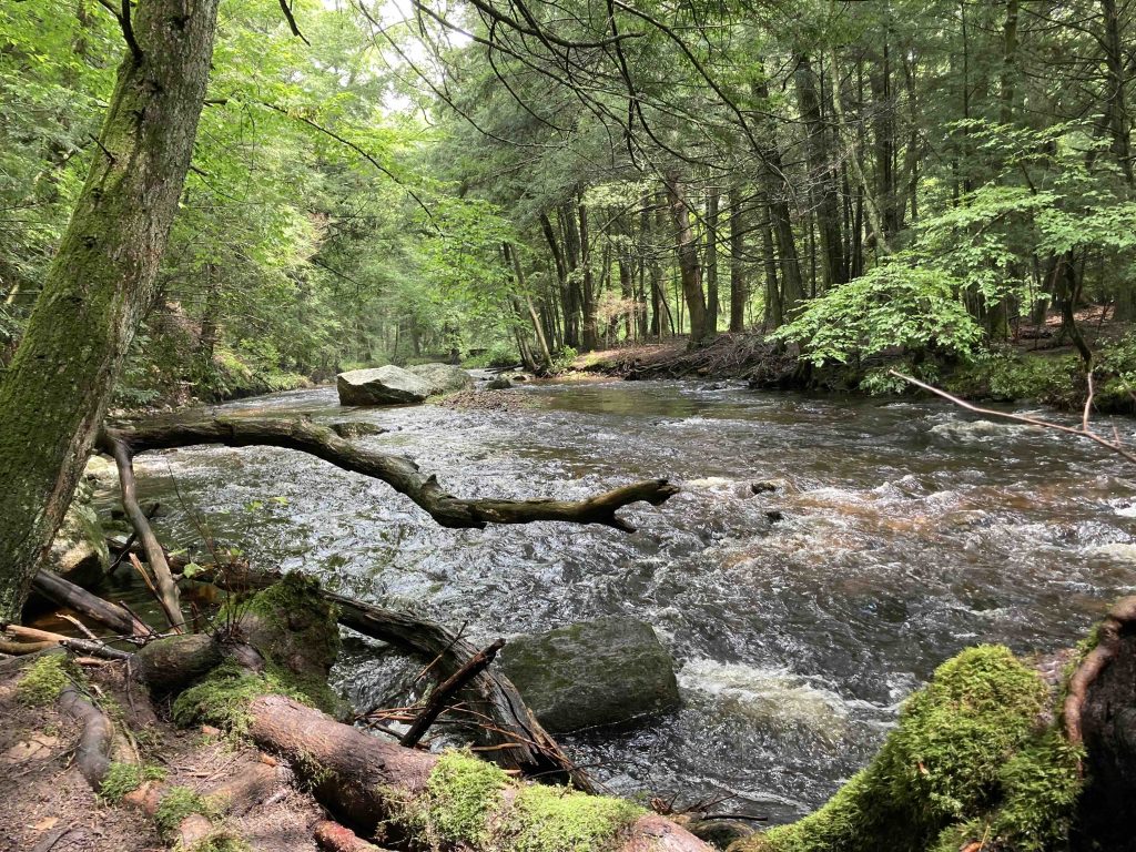
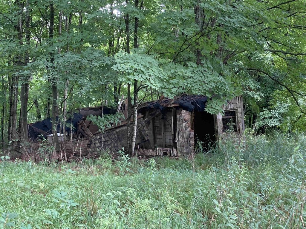
From the small parking area, the trail is wide and easy, passing occasional views of Beaver Brook and some abandoned chicken coops.  Beaver Brook meets Merrick Brook a bit south behind the coops and from this point the main waterway is Merrick Brook.

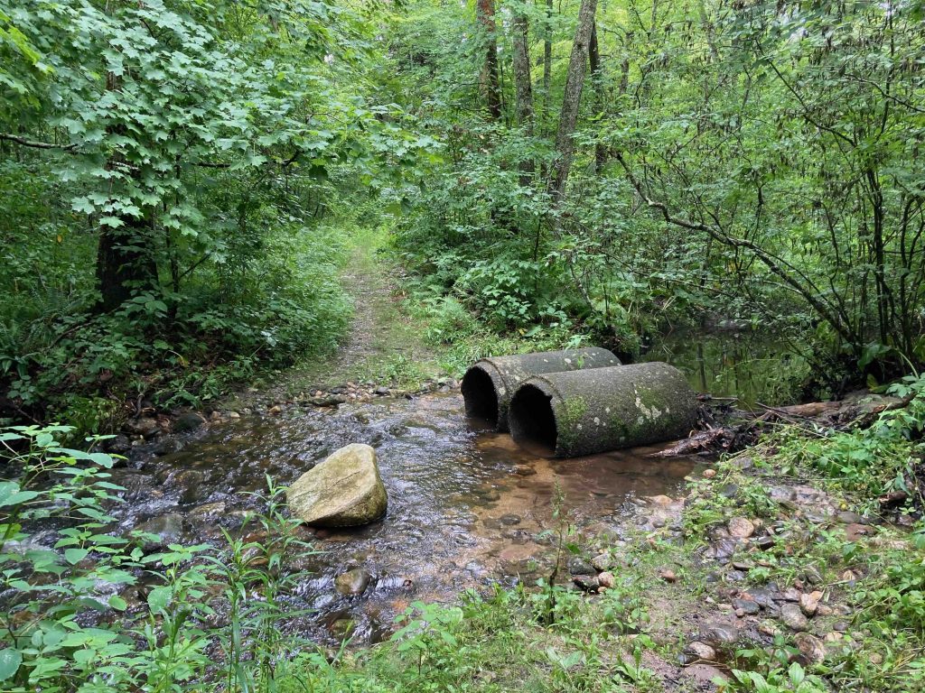
After jumping a feeder stream at 2/3rds of a mile the trail forks into a loop.  I chose the left fork to stay along the brook with views down to the water from along the high bank.  The trail eventually leads to a rocky beach at a sharp bend in the brook.  Thanks to recent rains the brook was swift and deep making this stretch an excellent swimming hole (though likely not the rest of the year).

The loop trail turns away from the brook and heads up into the hills.  The climb in fairly steep, but an enjoyable challenge.  At the top of the climb the trail forks again.  This is the one area I saw trail blazes with neon yellow blazes and an arrow pointing in the direction of the loop.

I turned off the loop to explore the side trail and it descended downhill again wrapping back around to dead end at a lower stretch of the brook.  There were some cool rock formations and a tiny cascade  just off the trail, but not really worth the extra 0.6 miles roundtrip.

Back on the loop the winds its way through dense forest and more open fern understory, even clipping the edge of a private property farm field (likely Sunny Acres Farm off Myers Rd).  A long gradual downhill stretch leads back to the original fork and an easy walk back to the parking area.

History:

The former property of Nathan B. Talbot, MD and Anne Perry Talbot both of Brookline, MA.  Nathan was Chairman of the Harvard Medical School Department of Pediatrics at the Massachusetts General Hospital.  He passed away in 1994 at the age of 84.  Anne was an artist who passed away in 2007 at the age of 91. They were married in 1934.

The first 458.56 acres were acquired by the state on January 29th, 1976.  39.43 acres were added on October 30th, 2003 and an additional 19.45 acres were purchased in 2008 for $24,313 from Joseph Postemski.


Links:

The information shown here is for general reference purposes only. exploreCT.org gives no warranty, expressed or implied, as to the accuracy or reliability of this data. Parking in all areas, whether designated here or not, is at your own risk. exploreCT.org is not responsible for any damage or loss to vehicles or contents.
Last updated September 2nd, 2023

Visited 3162 times, 1 Visits today

Related Listings

Lillinonah Trail

★★★☆☆

152 Hanover Rd, Newtown, CT, USA

Paugussett State Forest: Lillinonah Trail Blue Blaze Trail and Connecticut State Forest 1048 acres in Newtown, CT Parking: Small pull-off near 158 Hanover Rd, Newtown, CT Medium…

Mount Bushnell State Park

★☆☆☆☆

41.687191, -73.366729

Mount Bushnell State Park Connecticut State Park 214 acres in Washington, CT Parking: Small lot at the end of Tinker Hill Rd, New Preston, CT Trail Map   … Read more…

Minnie Island State Park

★★☆☆☆

41.506000, -72.222105

Minnie Island State Park Connecticut State Park .88 acre in Montville and Salem, CT Parking: Accessible by water only, the closest public boat launch is at Gardener… Read more…