Site logo
    • Explore
      • Blue-Blaze Trails
      • Land Trusts
      • State Parks and Forests
      • By Town
    • exploreCT+
      • Membership
      • Shop
      • Events
    • Blog
    • Town Guides
    Sign in or Register
    Listing cover image

    Sunnybrook State Park

    • Trails
      3 miles
    • Rating
      ★★★☆☆
    • Address
      Sunnybrook State Park, Newfield Rd, Torrington, CT 06790, USA
    • Explore
    • Trail Map
    • Reviews 0
    • New Page
    • prev
    • next
    • Bookmark
    • Share
    • Get directions
    • Report
    • prev
    • next
    At A Glance

    Connecticut State Park

    464 acres in Torrington, CT

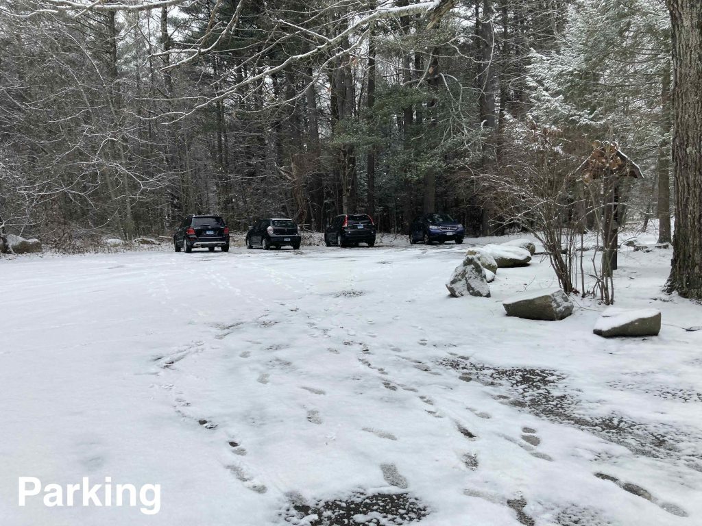
    Parking: Small lot near Newfield Rd, Torrington, CT

    Trail Map            Trails: 3 miles        Rating: ★★★☆☆

    Sunnybrook State Park (or alternatively Sunny Brook State Park depending on your source) is a surprisingly rugged state park comprised of the Alain and May White Nature Trails maintained by the CFPA. Peter Marteka called it a forgotten state park in his 2016 article, but I’d agree more with his other assessment – that this a “western Connecticut gem”.

    Hiking

    Blue – Testone Boulder Trail – 1.62 miles

    • This outer loop trail’s full name is the Testone Boulder and Ridge Trail and was named for Dino Testone one of the state’s top mineralogists back in the day who said the trail had “the largest split boulder he had ever seen”.
    • The trail turns off the paved entrance road, crosses an Eagle Scout built bridge over Peat Bog Brook and enters a rocky and rugged stretch around the backside of the loop.  At about a mile in you turn a corner and reach the Testone Boulder a great big pyramid shaped rock about 15 feet tall.  The rock is occasionally used for bouldering.
    • Coming down out of the woods opens into a field with a man made pond and runway for the Balsa Bandits RC Club before working back along the paved entrance road
    • Portions of the trail were reworked and reblazed in 1992.

    Orange – Fyler Pond Trail – 0.47 miles

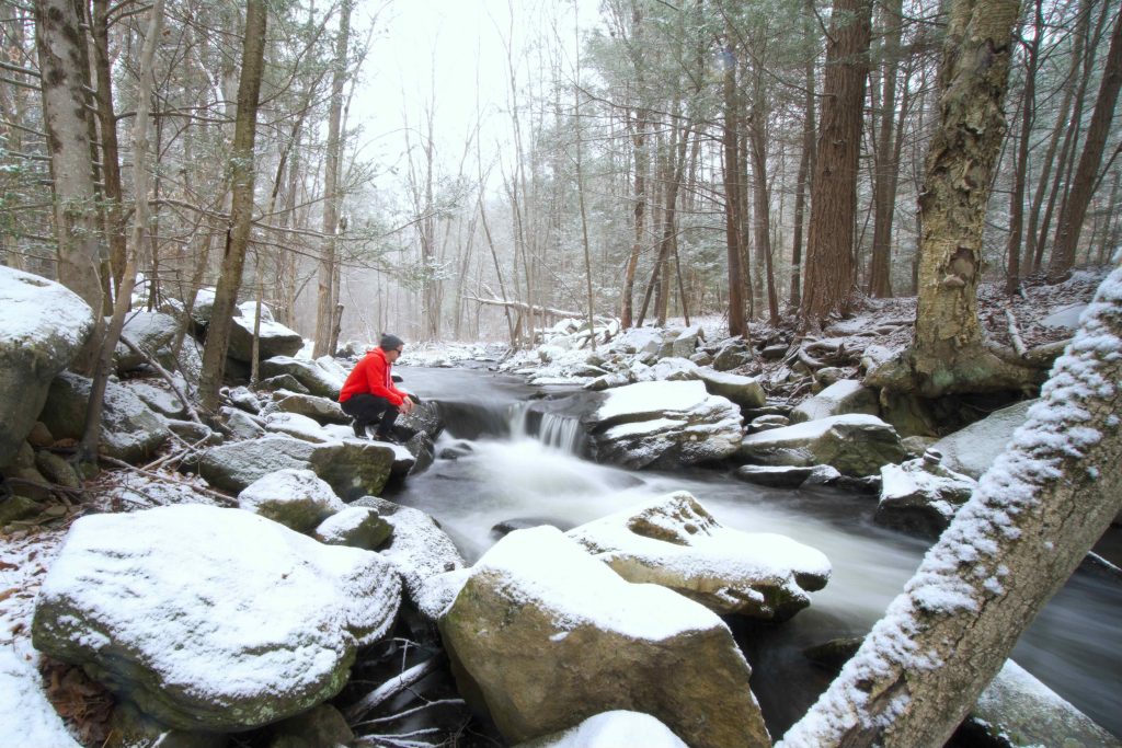
    • This easy loop extension passes through some pine groves and narrow rocky trail to reach Fyler Pond.  On my hike I mistook the pond for a snow covered field, though it was a peat bog at one point.

    Red – Beaver Pond Loop – 0.42 miles

    • Briefly interconnects with the Blue trail and passes what very well could be an old shelter that looks like a well before passing through the old fields around a beaver pond.

    Yellow – Faidor Spring Trail – 0.9 miles

    • Named for Edwin Faidor the dairy farmer who sold the property to the state.  The trail features the Faidor Spring house and tub used to water his Guernsey cows.

    White – Madden Wetlands Trail – 0.25 miles

    • The Madden Wetlands are named for William “Bill” Madden (1914-1986) a naturalist who helped preserve our natural heritage.

    John Muir Trail

    • Not much of the trail falls within the park, but starts off the side of the parking area across from the kiosks to climb up to the road for a short road walk across the bridge and down into Paugnut State Forest.
    History

    Established as a state park in 1970.  The original 160 acres of the park was sold to the state by Edwin Fadoir a dairy farmer who raised Guernsey cows and ran a milk route through area towns.

    Links

    Peter Marteka – The Sunny Disposition Of A Forgotten Torrington State Park (2016)

    CTMQ – Sunnybrook State Park Intro (2008)

    Tags
    • ★★★☆☆
    • 2022
    • Explored
    • John Muir Trail
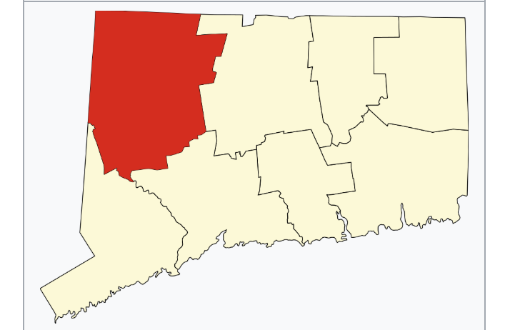
    • Litchfield County
    • Paugnut State Forest
    • Peter Marteka
    • State Park
    • Torrington
    Last Updated

    The information shown here is for general reference purposes only. exploreCT.org gives no warranty, expressed or implied, as to the accuracy or reliability of this data. Parking in all areas, whether designated here or not, is at your own risk. exploreCT.org is not responsible for any damage or loss to vehicles or contents. Last updated December 11th, 2022

    Trail Map
    Location
    • Sunnybrook State Park, Newfield Rd, Torrington, CT 06790, USA

      Get Directions
    Gallery
    Video
    Categories
    • Hiking
    Gallery
  • No comments yet.
  • Add a review

    Leave a Reply · Cancel reply

    You must be logged in to post a comment.

    You May Also Be Interested In

    Spruce Brook Falls

    • ★★★★★
    • 16 miles
    Featured
    FW6F+CW Beacon Falls
    • Quick view
    • Bookmark

    White Oak Preserve

    • Unexplored
    • 0.2 miles
    600 Raymond Hill Rd
    • Quick view
    • Bookmark

    Woodlands Nature Preserve

    • Unexplored
    • 0.5 miles
    99 Beacon Hill Dr
    • Quick view
    • Bookmark

    Hi, I’m Matt.

    I’m building ExploreCT to be the guide for all your outdoor adventures. All the trails, views, and waterways this great state has to offer.

    Now get out and explore!

    Monthly Newsletter

    Each month I share site updates or an interesting article in my newsletter. It’s short, sweet, and practical.

    600+ explorers read it, I’d love for you to join.

    Thank you!

    You have successfully joined our subscriber list.

    X-twitter Youtube Envelope Instagram

    Cart

      • Facebook
      • X
      • WhatsApp
      • Telegram
      • LinkedIn
      • Tumblr
      • Reddit
      • VKontakte
      • Mail
      • Copy link
      • Share via...
      • Threads
      • Bluesky