Photos

Description

Stratton Brook State Park

Connecticut State Park

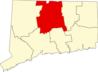
145 acres in Simsbury, CT

Parking: Small lot near 149 Farms Village Rd, Simsbury, CT

Trail Map        Trails: 3 miles      Rating: ★★★☆☆


Stratton Brook State Park is a popular spot especially for swimming in the summer it has also been a testing ground for various ideas to make state parks accessible to everyone so there are wheelchair accessible viewing platforms and an easy access linear through through the park.

Swimming

Check the Beach State Report for swimming status.

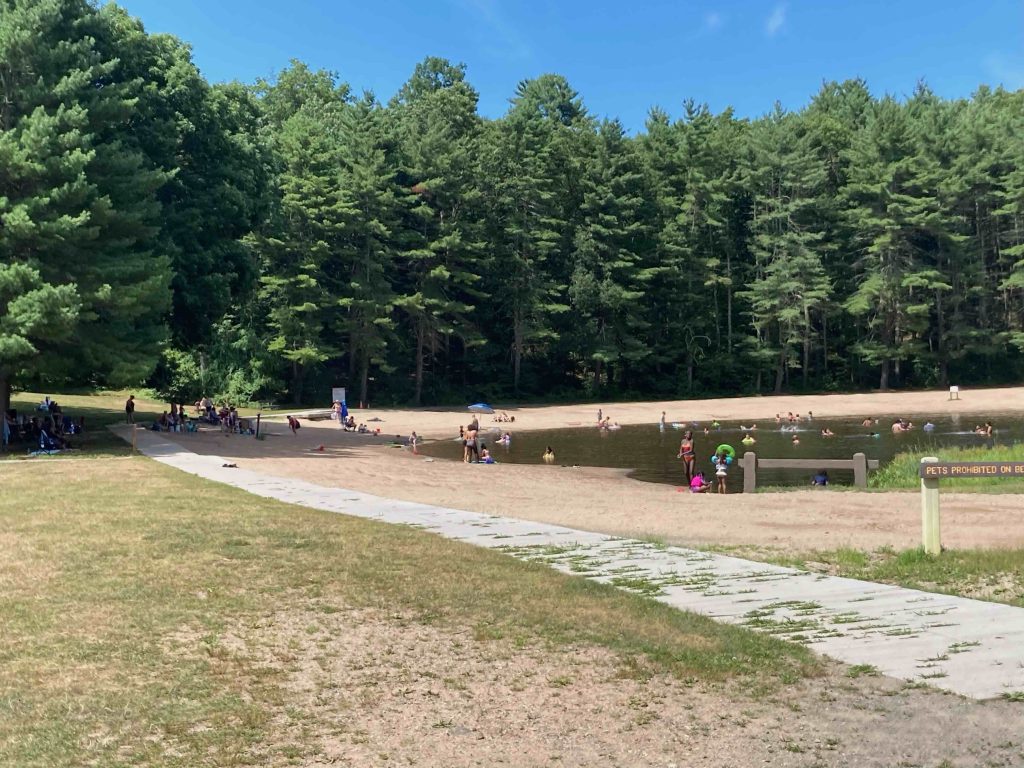
This is a popular swimming spot in the area so expect it to be crowded and noisy on a hot summer day.  There is a long curving beach with shady groves at the east and west sides of the pond and a picnic area on the south side.  Pets are not allowed on the beach.

Hiking

Trails here are pretty short all heading east from the the parking/beach area.  The most popular is the linear trail of level compacted bluestone dust that runs about a mile straight through the center of the park.

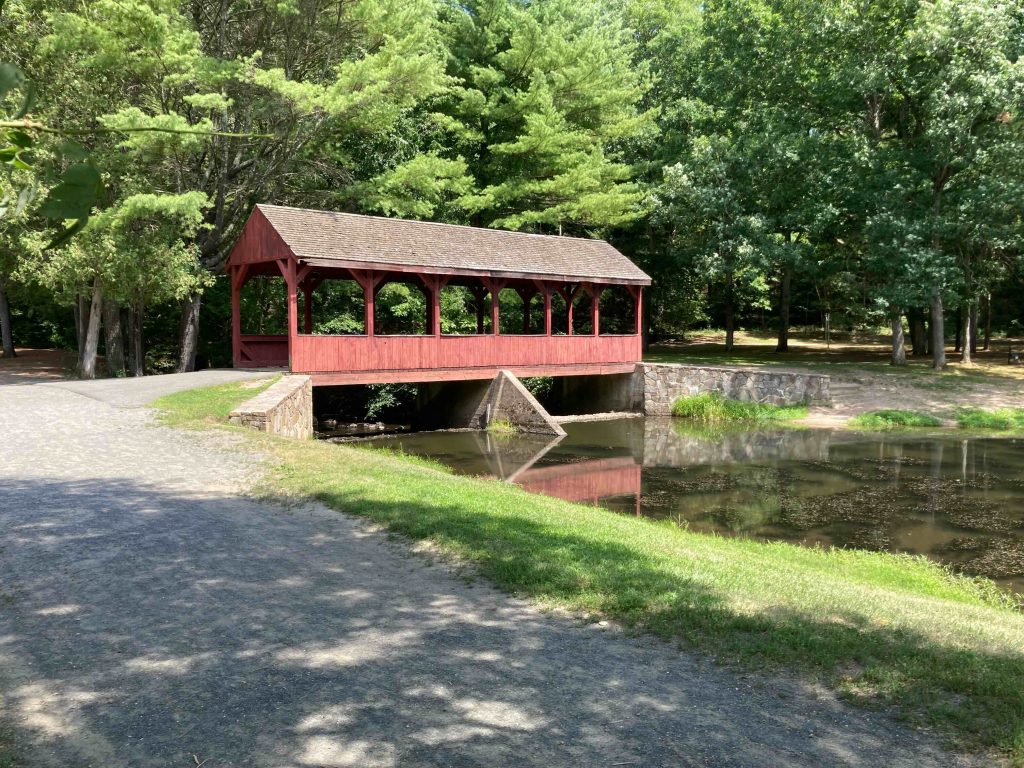
Crossing the covered bridge and through the picnic area with pavilion is a blue blazed (formerly light green) trail that runs up into the forest along the boundary of the park.  Private property is right along the edge of the trail so houses crowd the trail a bit, but still provides a pleasant walk.

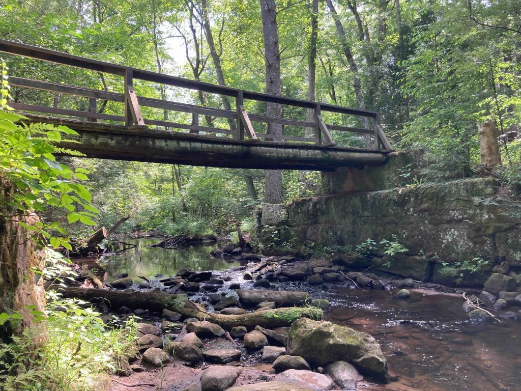
There are a number of trail junctions and the well traveled trails all meander back to the linear trail at the heart of the park, but pass through some open forest and some even follow the namesake Stratton Brook.  Crossing the linear trail provides an option to the adjacent Ensign Forest also known as the Darling-Hilles Forest with a simple loop trail to extend hikes.

History:

Established as a state park in 1949. It as originally part of Massacoe State Forest as place to demonstrate techniques for preventing fires caused by railroads.  The Central New England Railway, thanks to Norfolk’s Egbert T. Butler passed through here on its way to Hartford or Poughkeepsie, N.Y. and thus provided the conditions for practice.

The small fishing pond forms from a dam built by the Civilian Conservation Corps in 1933.

The covered bridge was built in 1985.


Links:

The information shown here is for general reference purposes only. exploreCT.org gives no warranty, expressed or implied, as to the accuracy or reliability of this data. Parking in all areas, whether designated here or not, is at your own risk. exploreCT.org is not responsible for any damage or loss to vehicles or contents.
Last up dated July 24th, 2022

Visited 2703 times, 6 Visits today

Related Listings

Jefferson Park

Unexplored

70 Jefferson Park Rd, Madison, CT, USA

Jefferson Park and Oil Mill Brook Madison Land Trust and Connecticut State Forest 194.8 acres in Madison, CT Parking: Cul-de-sac near 70 Jefferson Park Rd, Madison, CT…

Humaston Brook State Park

★★☆☆☆

41.704336, -73.106654

Humaston Brook State Park Scenic Reserve Connecticut State Park Location: 141 acres in Litchfield, CT Parking: Go past 4 Newton Rd Northfield, CT and take the next left at… Read more…

Black Pond Boat Launch

★★☆☆☆

215 Camp Road, Woodstock, Woodstock Valley, CT, USA

Black Pond Boat Launch Connecticut State Boat Launch 41 acres in Woodstock, CT Parking: Small lot down a driveway off Camp Road Trail Map     Trails: No…