Steep Rock Preserve
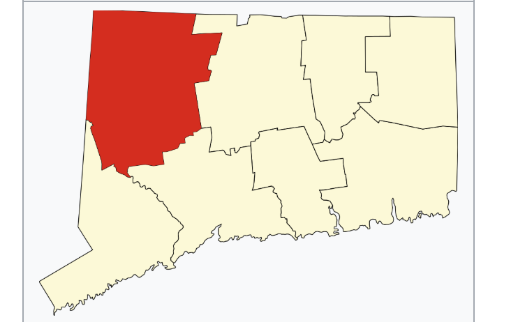
998 acres in Washington, CT
Parking:
- Medium sized lot near 2 Tunnel Rd, Washington Depot, CT (All parking here will be closed 4/1 – 11/1/2023) See Note Below
- Small parking lot near the end of Spring Hill Road, Washington, CT
Trail Map Trails: 18.5 miles Rating: ★★★★☆
Note: The Steep Rock summit trail is generally closed June/July to protect nesting birds
Hiking
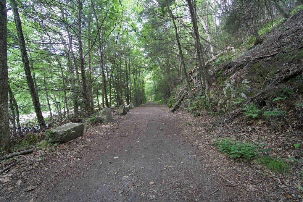
With close to 20 miles of trails I’ve only scratched the surface with my recent hike. I started from the main parking area north of the riding ring and and took the green trail across the Shepaug River heading south. The former railroad bed is flat easy walking following the curves of the river. It soon passes two campsites (see camping section below) and continues to where the railroad crossed the river.
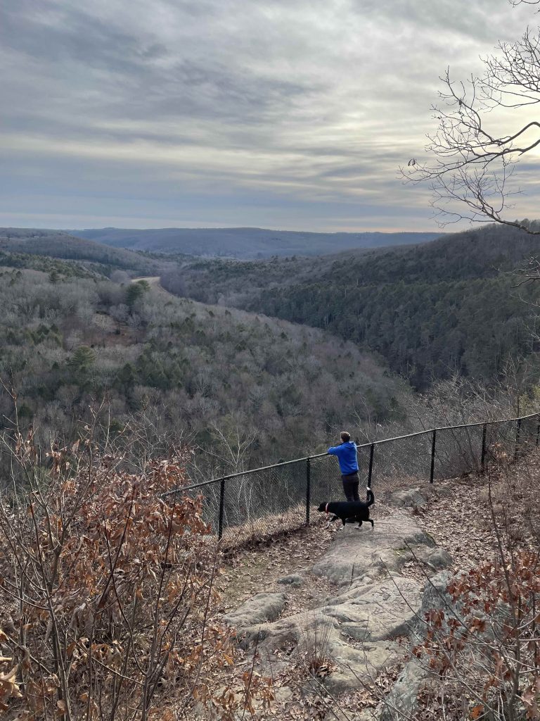
There is no longer an easy river crossing (though you could ford it when the water is low enough) and instead the green trail switches to a rugged and rocky technical hike along the high bank of the river. Alternatively you can head uphill on one of the white diamond connectors to the yellow dot trail to take the fantastic overlook at the Steep Rock summit. The overlook is a rocky knob with views south over ‘The Clamshell’ and has drawn people for generations including town-wide picnics through at least the 1950s. Names have been carved into the rocks here dating back to 1840 and there are two memorial plaques. A safety fence protects the cliff face and while I understand, it does detract from the view.
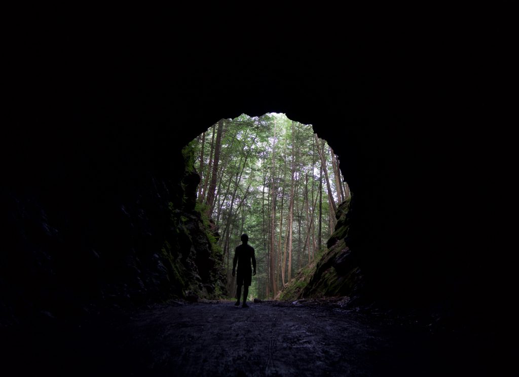
At the southern end of this loop is Hauser Footbridge, a 120′ suspension bridge built in 1991, which crosses the Shepaug River just downstream from an old sawmill hole. From here I took the short blue square trails over to the tunnel. Similar to the Taft Tunnel in Lisbon (though no longer active) the Steep Rock tunnel is 235 feet curving under a hill and through solid rock built in the early 1870s.
From here you could extend your hike around the Clamshell but I was running out of daylight and followed the railroad bed back to Tunnel Road and the road back to the parking area.
Camping
Camping Map and Steep Rock’s Camping Page
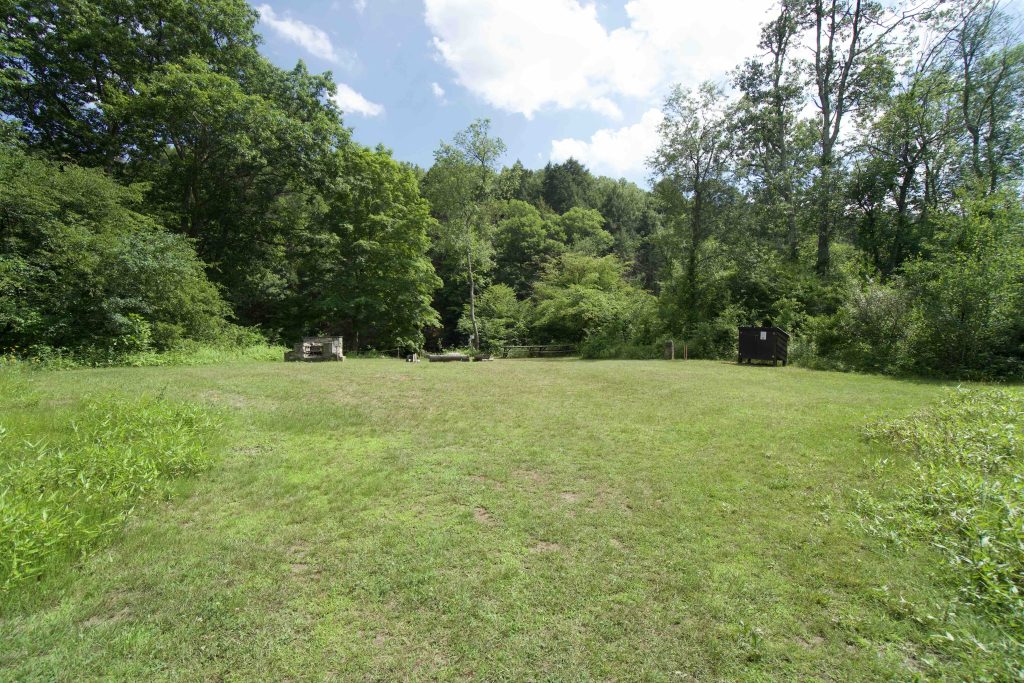
There are three campsites at Steep Rock, available through an online reservation system for $35/night with a minimum two night stay. Each site include a campfire ring, picnic tables, firewood rack, and an outhouse.
The sites are easy access from two of the main trails and are set right along the river.
History:
The railroad tunnel was constructed from 1871 to 1872 as part of the Shepaug Valley Railroad. A crew of coal miners from Pennsylvania built the 235-foot curved tunnel by hand using picks, dynamite and nitroglycerin to blast through Steep Rock Ridge. It took them only nine months to complete, a remarkably quick project in those days. The railroad ceased operation in 1948.
In 1889 architect Ehrick Rossiter purchased 100 acres of land here to protect it from being clear cut by a timber company and developed it over the next 36 years. In 1925 he created a land trust to protect the original 378 acres of this preserve when it was slated to be clear cut.
Links:
Peter Marteka – Over a clamshell and through a tunnel takes you to the top of Steep Rock Preserve in Washington (2018)
Peter Marteka – Taking A ‘Holiday’ At Washington’s Steep Rock Preserve (2015)
Peter Marteka – Shepaug’s Tunnel Through Time (2008)
The information shown here is for general reference purposes only. exploreCT.org gives no warranty, expressed or implied, as to the accuracy or reliability of this data. Parking in all areas, whether designated here or not, is at your own risk. exploreCT.org is not responsible for any damage or loss to vehicles or contents.
Last updated June 28th, 2021
Visited 4941 times, 1 Visits today