Photos

Description

Simpson-Wood Preserve

Mansfield Town Park

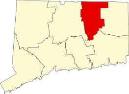
114 acres in Mansfield, CT

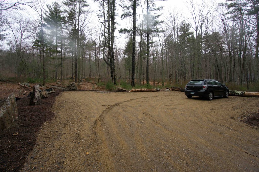
Parking: Small lot across from 627 Warrenville Rd, Mansfield Center, CT

Trail Map       Trails: 2 miles       Rating: ★★☆☆☆


I first became aware of Mansfield’s newest park acquisition (move over Southworth Preserve) after reading this article in The Chronicle in 2019.  In early Spring 2020 I was coming back from a different hike and spotted the new parking area on Rt 89 so I swung in to see if any work had been done on the trails. I revisited in November to see how much progress had been made.  Trails were a little clearer, bridges had been build, and as a suspected new trails had been added.

Hiking

Heading out from the parking area the trail quickly forks into the Main Loop.  Either direction is roughly the same, but take the left if you’d like to see the ridges from their base or take the right if you’d like a shorter hike to Lunch Rock.  This review will follow the left fork.

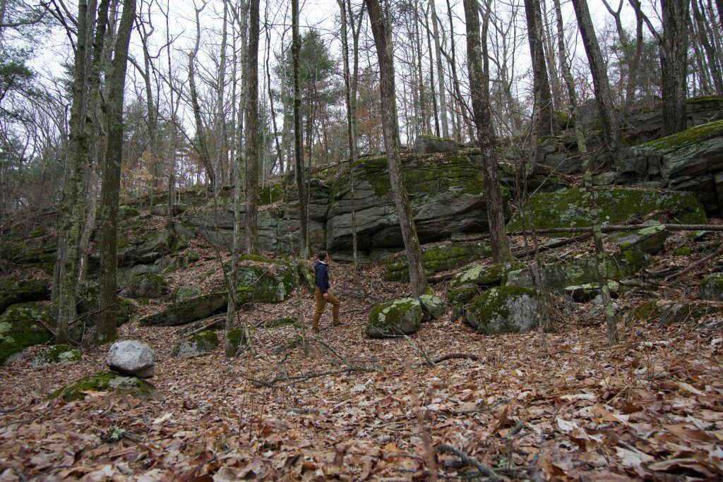
The trail soon crosses a well built bridge over a wet area likely thanks to Boy Scout Troop 56.  Past the bridge the properties rock ridges rise up amidst the forest.  The trail soon meets an old woods road which ascends deeper into the forest.  The blazed path takes an alternate route up the steepest part of the hill, but was still not cleared on my last visit though it quickly rejoins the old road.

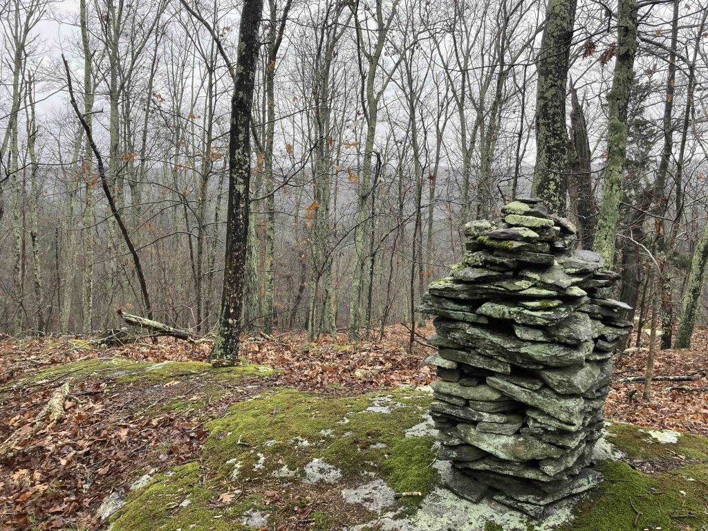
I had suspected this property had more to offer after my first visit and I was correct noting the new sign for the Lunch Rock Trail.  It is a short cross loop trail which provides a forested view from a rocky outcrop.  At the summit of the outcrop is a stone cairn pillar likely built by the Simpson family on some outing.  While simple, finding these sorts of things hidden in the woods makes the hike.

Back on the Main Loop the trail continues on fairly level ground now as the trees switch from open hardwoods to closer pines.  There is another shorter cross-over trail that I did not explore.  As the loop returns towards the parking area the trail could still use some clearing as low brush grabbed at my legs.  Easily passable just not well established yet.  Then passing the Lunch Rock Trail, a swift descent on another old road, and another freshly built bridge to the original fork.

Old Review

I may be scooping a grand opening because trails here are clearly not finished but I hiked the 1.4 mile white-blazed outer loop.  The trail forks just off the parking area and I headed left soon reaching a freshly built bridge likely thanks to Boy Scout Troop 56.  The trail then came within a stone’s throw of large rock ledges.  However, instead of taking the interesting route and hiking along side the rock walls or even over the smaller ones the trail instead maintained a less satisfying distance.

There’s clearly a lot of work left to be done.  The outer loop is completely blazed but aside from short stints on old farm roads the trail often tracks through low brush that has yet to be cleared.  There are also a few interior trails in development based on flagging tape leading off the “main path” in a few spots.

Once the trail gets cleared and set this will be a great hike.  I can see it expanding to include alternate trails over the various rock features and connectors down to Mt Hope Park.  I also bet the mountain biking community would love to put in a few of their own trails.

I believe the town is shooting for a June 2020 opening for CT Trail’s Day.

History:

Acquired by the town in 2018 for $207,000 grant through the Open Space and Watershed Land Acquisition Program.  The property (along with Mt Hope Park) was part of a pre-Revolutionary land grant that was farmed by the Wood Family from approximately 1719 to 1939.


Links:

Town of Mansfield – Parks and Natural Resources Meeting – Tuesday, September 17, 2019

Town of Mansfield – Parks and Natural Resources Meeting – Tuesday, August 20, 2019

The information shown here is for general reference purposes only. exploreCT.org gives no warranty, expressed or implied, as to the accuracy or reliability of this data. Parking in all areas, whether designated here or not, is at your own risk. exploreCT.org is not responsible for any damage or loss to vehicles or contents.
Last updated November 26th, 2020

Visited 2237 times, 1 Visits today

Related Listings

Szegda Farm

★★☆☆☆

41.701433, -72.288930

Szegda Farm Columbia Town Park 135 acres in Columbia, CT Parking: Upper Trails – Small lot near 43 Szegda Rd Columbia, CT Lower Trails – Medium lot near 42 Szegda…

Heron Cove

★★☆☆☆

41.876902, -72.310465

Heron Cove Tolland Town Park 35 acres in Tolland, CT Parking: Large lot at 125 South River Road, Tolland, CT Trail Map        Trails: Less than…

Giddings Park

★★☆☆☆

41.628226, -72.125934

Giddings Park Franklin Town Park 72 acres in Franklin, CT Parking: Large lots near 191 Pond Rd, North Franklin, CT Trail Map Giddings Park is everything you would… Read more…