Shoddy Mill Preserve

Glastonbury Town Park

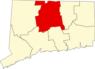
77 acres in Glastonbury, CT

Parking: Shoulder parking near 111 Shoddy Mill Road Glastonbury, CT

Trail Map          Trails: 2 miles       Rating: ★★☆☆☆


Trails here are broken into two sections, east and west.

East Trail

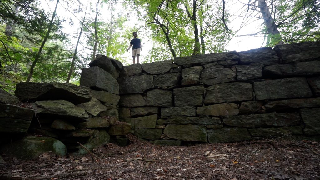
The East Trail is just a short road walk from the parking area and the entrance wasn’t immediately obvious on my 2019 visit.  But I kept walking along peering into the woods and sure enough there it was.  The trail heads gradually uphill, crosses the pipeline corridor, and among some pines.  There were a couple options among the old trees but any of the options appear to take you left toward the mill dam ruins.  These impressive dam ruins are over 100′ long and a good height until you reach where the brook has broken through.  I had fun climbing among the ruins, but there isn’t much else to see here.

West Trails

The west trails are the main hiking area but are a bit more complicated than the trail map suggests.  Sure enough the trail heads off along Roaring Brook until reaching the gas pipeline which was actually a nice meadow clearing.  The trail re-enters the trees and splits just like in the trail map.  The right fork heads steeply uphill and a down to view of the ruins.  I took the left fork staying among the pines until reaching an unexpected side trail.

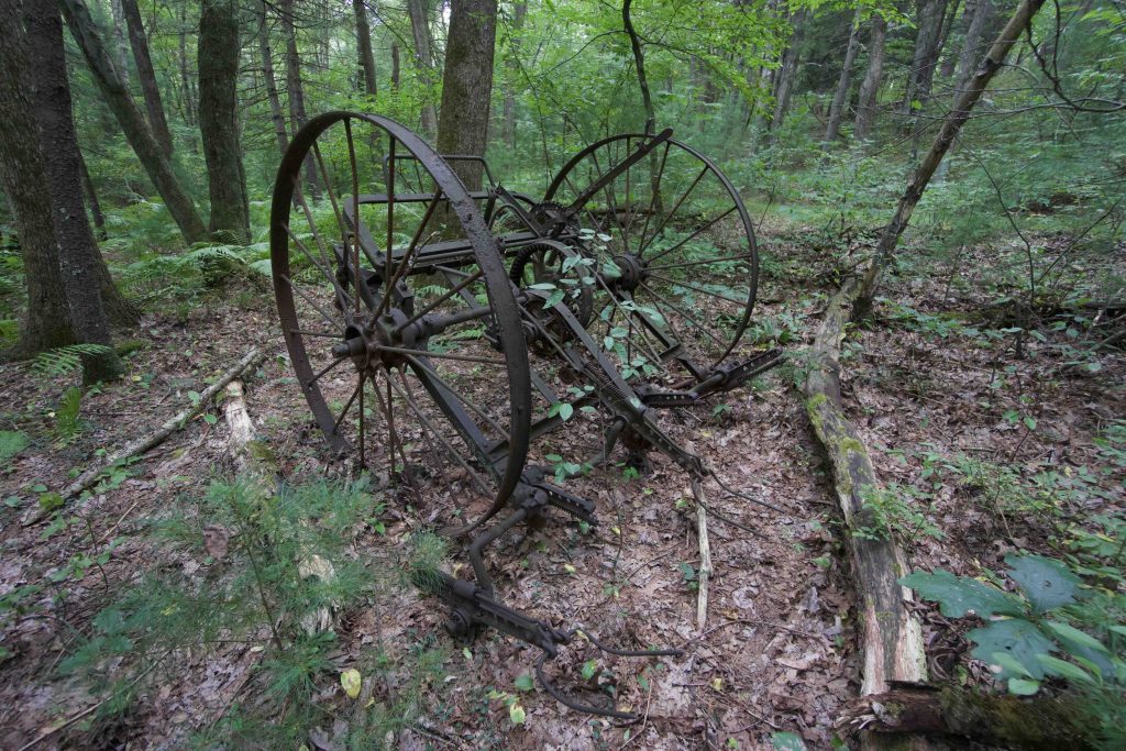
I took the side trail which crossed through Coon Hollow and a marshy area traversed by old plywood sheets.  Reaching the hillside across the marsh the trail then follows the hill on surprisingly well established trail that connects up towards private property in a few places.  There was old farm equipment slowly rusting in the woods as well as some kind of drainage/pump pond.  Eventually the trail petered out somewhere near Sachem Drive.  An overgrown path looked like it might head back to the original loop, but I wasn’t willing to push through.

Back on the original loop, blazes were few and far between but the trail was easy enough to follow working to the backside near private property and climbing the hillside above Roaring Brook.  After a short while on the ridge I came back to the mill ruins and the original split.

History:

The property was acquired in 1968.

The mill operated roughly from 1841 to 1906 producing “shoddy”—reclaimed wool, usually made from rags, which can be processed into felt or fabric of inferior quality.

From Peter Marteka’s article:

“Over a period of 65 years,” the book reads, “men from the Crosby Manufacturing Company would go to the mill to grind woolen waste of different colors into a dark blue product from which a woolen yarn was spun.” Operations at the mill ceased in 1906 and it was turned into a tenement house complete with a swimming pool – the dammed-up area behind the mill – which has since turned into a giant marsh.


Links:

CTMQ – Shoddy Mill Preserve (2014)

Peter Marteka – A Trip Into Glastonbury’s Past At Shoddy Mill (2012)

The information shown here is for general reference purposes only. exploreCT.org gives no warranty, expressed or implied, as to the accuracy or reliability of this data. Parking in all areas, whether designated here or not, is at your own risk. exploreCT.org is not responsible for any damage or loss to vehicles or contents.
Last updated September 1st, 2019

Visited 1146 times, 1 Visits today

Related Listings

Copp Family Park

Unexplored

41.375567, -72.042046

Copp Family Park Groton Town Park 450 acres in Groton, CT Parking: Small lot near 821 Gold Star Hwy, Groton, CT Trail Map         Trails: 3.43 miles …

Ragged Mountain

★★★★★

437 West Ln, Berlin, CT 06037, USA

Ragged Mountain Preserve Berlin Town Park 589 acres in Berlin, CT Parking: Shoulder parking near 437 West Ln, Berlin, CT Trail Map         Trails: 8.7…

Field Road Park

★★☆☆☆

96 Field Rd, Somers, CT 06071, USA

Field Road Park Somers Town Park 36 acres in Somers, CT Parking: Large lots near 96 Field Rd, Somers, CT Trail Map         Trails: 0.4…