Sellew Preserve
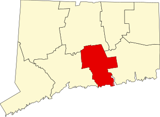
44.94 acres in East Hampton, CT (36.67 land trust and 8.27 town)
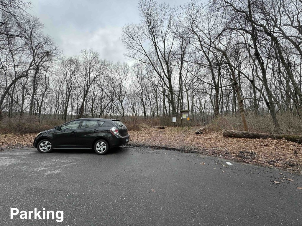
Parking: Cul-de-sac near 99 Dogwood Dr, East Hampton, CT
Trail Map Trails: 1.8 miles Rating: ★★☆☆☆
From the parking at the end of Dogwood Drive the trail heads steeply downhill that heavy rains over the past few months have started to erode. This red blazed trail is pretty uneventful and mainly serves to access the interesting outer loop.
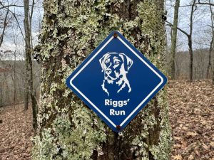
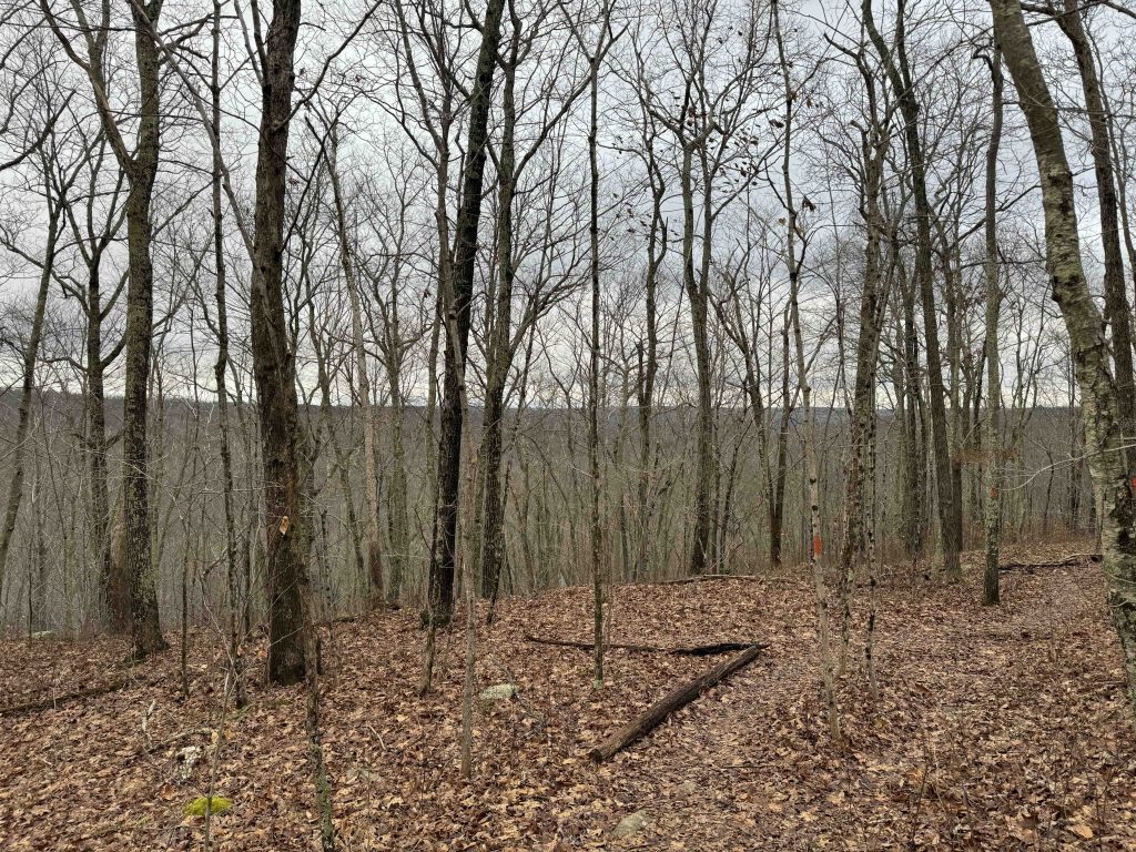
At the heart of the property the orange blazed trail splits off to the right taking you out to a ridge line with a hazy wooded view out to the horizon. Heading off onto private property is a blazed trail called Riggs’ Run, though I can’t find any information about it.
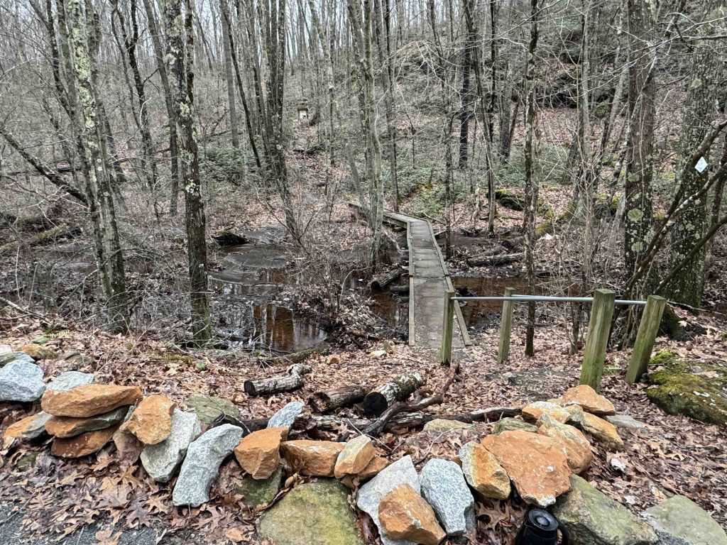
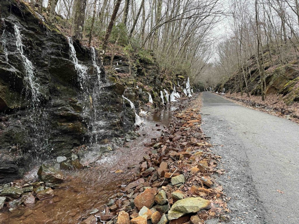
A series of switchbacks takes you all the way down to Flat Brook and up another set to reach the Air Line Trail. Follow the Air Line until the bridge and boardwalk to recross the brook and climb amongst the rocks back into the property.
I opted to stay on the outer loop and hike up the brook’s source along the yellow trail. This reconnected back to the red trail which took me directly back to the parking.
History:
The trust acquired the preserve in 2001 from Alice Sellew with the help of a grant from the state Department of Environmental Protection.
Links:
- Peter Marteka – On A Lesser-Known Trail (2007)
The information shown here is for general reference purposes only. exploreCT.org gives no warranty, expressed or implied, as to the accuracy or reliability of this data. Parking in all areas, whether designated here or not, is at your own risk. exploreCT.org is not responsible for any damage or loss to vehicles or contents.
Last updated January 29th, 2024
Visited 459 times, 2 Visits today