Selden Creek Preserve
Nature Conservancy and Lyme Land Trust Property
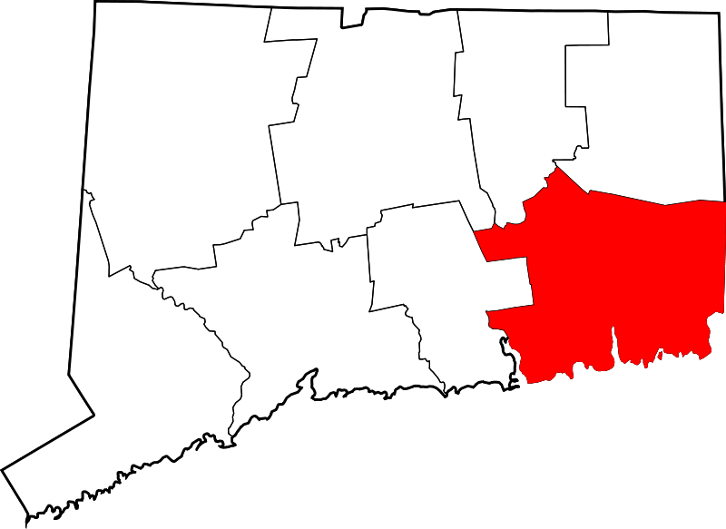
394 acres in Lyme, CT
Parking: Shoulder parking near 116 Mitchell Hill Road, Lyme, CT or small lot north of 345 Joshuatown Rd
Lyme, CT
Trail Map Trails: 4.8 miles Rating: ★★★☆☆
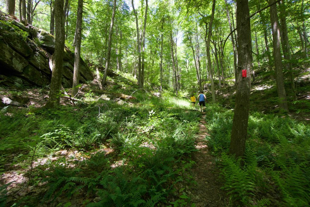
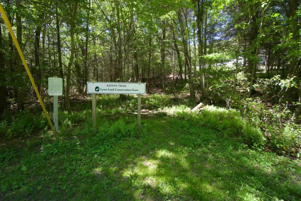
On a bright late-spring day, I headed down the Ravine Trail starting off Mitchell Hill Rd. The trail is a narrow gulley shaded by pines between private properties. The trail turns at a marshy beaver pond and starts uphill. This short climb is bordered by a faint stream coming down the rocks. At the top of the hill you enter the ravine. Rock walls on either side direct your course through a fairly wide fern covered climb. While the trail maps lists this as challenging terrain it certainly leans more moderate. The ravine gradually narrows and I grabbed the orange connector to the Blue/White trail. The trail map also lists a blue trail to an overlook which I must have missed. It was a quick walk either way to Joshuatown Rd.
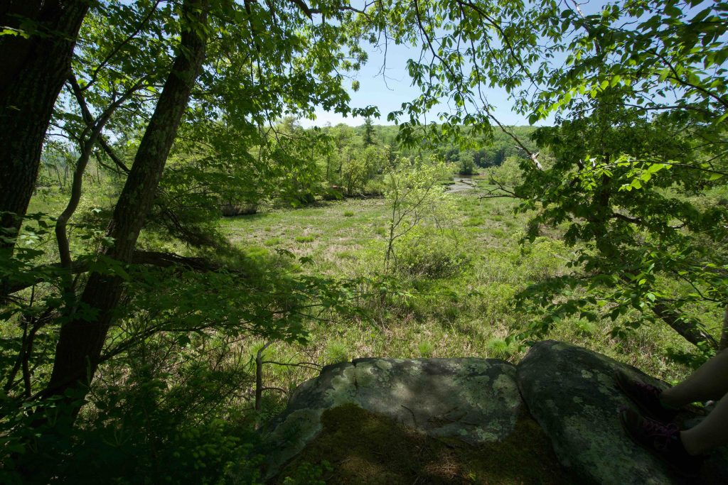
Crossing the road leads to the Nature Conservancy section of the property. A small parking area in front of a small field notes the start of the trail. A kiosk and sign are set off into the woods. Walking in on the Selden White trail seems to be well traveled and I noticed the large of amount of fallen trees. The area must have gotten hit by rough weather a few years ago. The trail comes close to the summit of Observatory Hill but the trail winds between hills. I knew I was heading to a pair of overlooks and expected a short climb, instead you descend toward the river valley. First stop was the Selden Blue overlook a narrow trail the heads quite a ways downhill to a short stone cliff with peaceful albeit lackluster views.
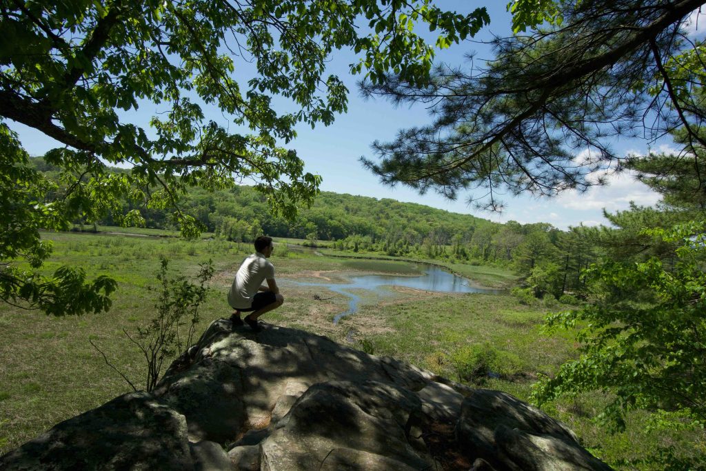
Second stop was the white trail’s overlook which is dedicated to Carolie Evans for her work conserving Connecticut’s land. This overlook is much nicer with a rocky outcrop and wider views of Selden Creek, the marsh, and Selden Neck State Park. Pines shade the area and a bench provides good seating although I chose the rocks closer to the edge.
From here I made my way back along the Selden Blue trail, crossed back over Joshuatown Rd, and took the orange connector to the purple trail. The crossing over Whalebone Creek was dry though I’d guess this section of the purple trail is much wetter in early spring. The trail meandered nicely back to the car for a total hike of 4.5 miles.
History:
Links:
- The Nature Conservancy – Selden Creek Preserve
- Peter Marteka – Take A Hike Along Ravine Trail, Visit Selden Creek Preserve (2010)
- Peter Marteka – 1-Mile Trail Leads To A Kingdom (2007)
- Kristen Stodolski – The Ravine Trail a Popular Hike
- Country Walks in Connecticut: A Guide to The Nature Conservancy Preserves, by Susan D. Cooley, Appalachian Mountain Club Books and the Nature Conservancy, 1989, pp. 126–131.
The information shown here is for general reference purposes only. exploreCT.org gives no warranty, expressed or implied, as to the accuracy or reliability of this data. Parking in all areas, whether designated here or not, is at your own risk. exploreCT.org is not responsible for any damage or loss to vehicles or contents.
Last updated May 26, 2019
Visited 3728 times, 3 Visits today