Photos

Description

Salt Rock State Campground

Connecticut State Campground

149 acres in Sprague, CT

Parking: Small lot near 173 Scotland Rd, Baltic, CT

Camping Map       Trails: 1 mile     Rating: ★★☆☆☆


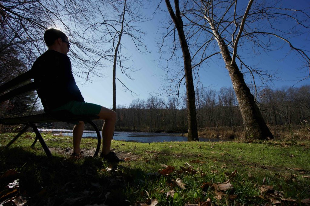
Salt Rock is mainly a campground though the shield at the entrance puts it is a state forest and many listings call it a state park.  Though it offers hiking, boating, and even mountain biking opportunities the main draw is the camping.  The park was a stop on the 2019 Sky’s the Limit Challenge with two photo locations: one where the the trail crosses under the rail road and the second at a clearing along the river with a bench and picnic tables.

Camping:

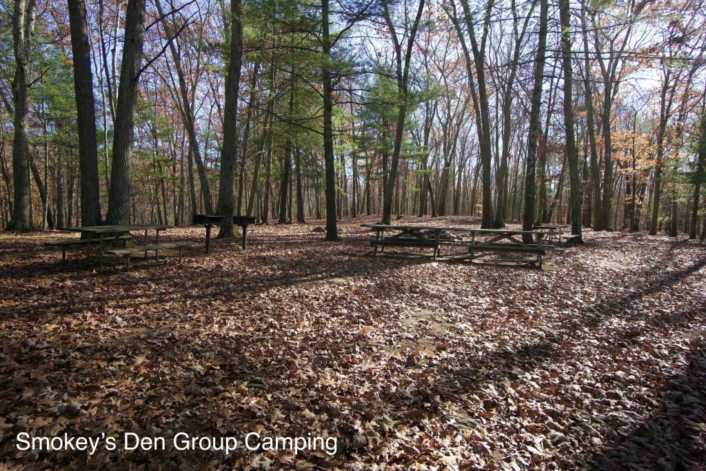
There are 71 camp sites and three group camping sites called Smokey’s Den, Coyote Run, and Boondocks.  The majority surround a large open field.  I’ve only visited Salt Rock when the campground is closed so I can’t attest to how busy it feels during the summer. It is usually open from May to September and is very well reviewed.

Hiking:

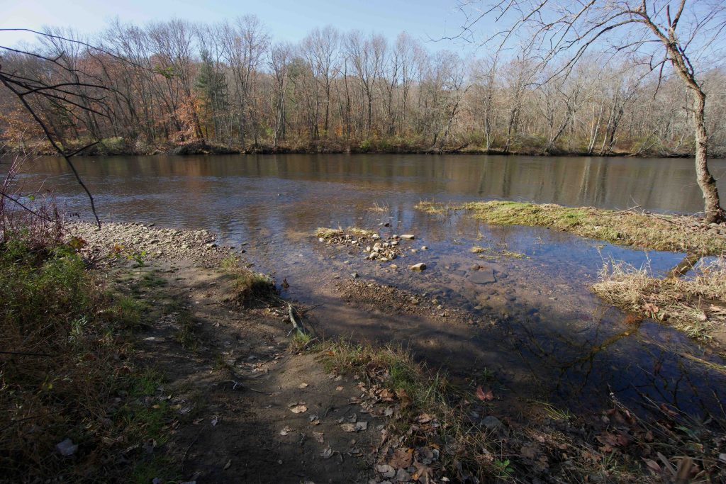
The 2018 version of the camping map no longer shows the foot path beyond the “old rail line”.  The old rail line is an active section of the New England Central Railroad. From the parking area a short tunnel passes under the rail and quickly meets a rough boat launch on the Shetucket River.  The trail follows the course of the river though not directly along its banks.  It soon reaches a nice clearing on the riverbank that has a bench and picnic tables. The continues for about a mile along the bend of the river and connects to the campground near the Boondocks Group Camping area.  As I was leaving a mountain biker was getting ready so there is enough here for a short ride.

Boating:

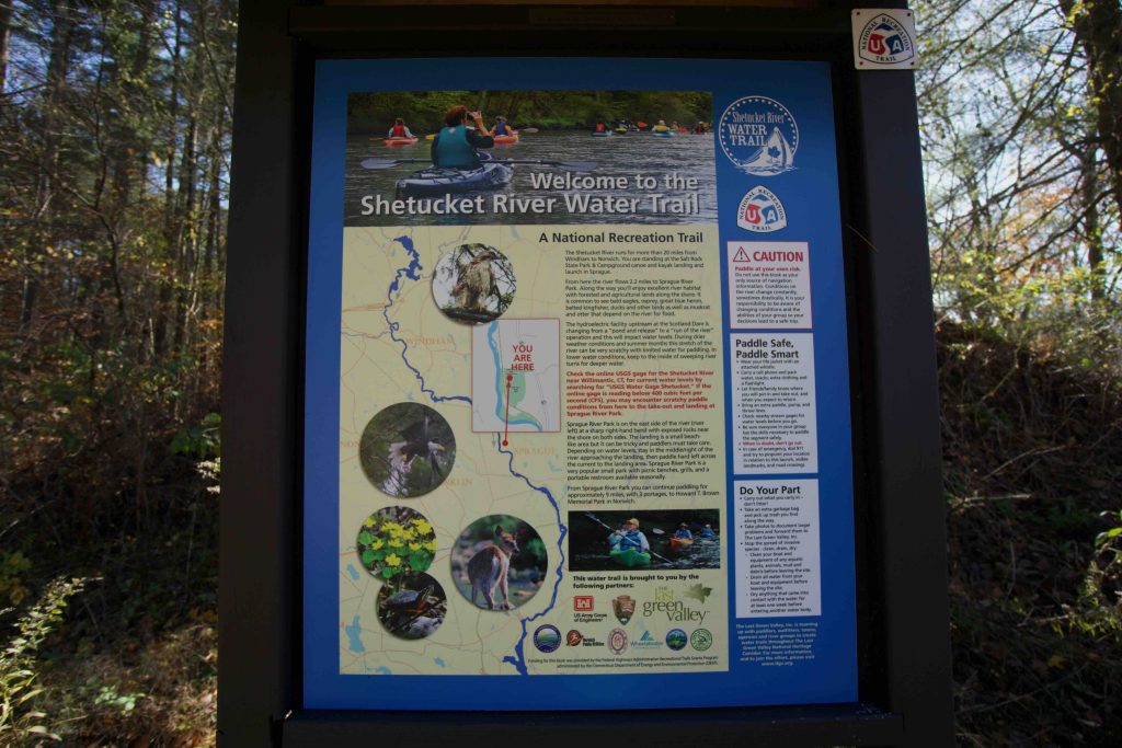
Salt Rock is a designated put in for the Shetucket River which flows 2.2 miles to Sprague River Park as the take out point.  It is part of the Shetucket River Trail a 22 mile National Recreation Trail.  I have not yet paddled this section of river.

History:

Established as a state campground in 2001.


Links:

NRT – Shetucket River Trail 

The information shown here is for general reference purposes only. exploreCT.org gives no warranty, expressed or implied, as to the accuracy or reliability of this data. Parking in all areas, whether designated here or not, is at your own risk. exploreCT.org is not responsible for any damage or loss to vehicles or contents.
Last updated November 4th, 2019

Visited 4452 times, 1 Visits today

Related Listings

Gardner Lake

★★☆☆☆

41.500477, -72.225614

Gardner Lake State Park Connecticut State Park 10 acres in Salem, CT Parking: Large lot at 147 Old Colchester Rd, Salem, CT 06420 Boat Launch Map Hiking No…

Bennett’s Pond State Park

Unexplored

41.329351, -73.480618

Bennett’s Pond State Park Connecticut State Park 460 acres in Ridgefield, CT Parking: Small lot near 550-698 Bennetts Farm Rd, Ridgefield, CT Trail Map      Trails:…

Brainard Homestead State Park

★☆☆☆☆

41.466588, -72.462986

Brainard Homestead State Park Connecticut State Park / Scenic Reserve 25 acres in East Haddam, CT Parking: Shoulder parking near 76 Creek Row East Haddam, CT Trail…