Ragged Mountain Preserve

Berlin Town Park

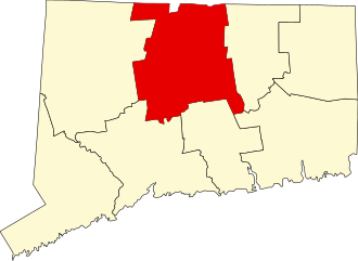
589 acres in Berlin, CT

Parking: Shoulder parking near 437 West Ln, Berlin, CT

Trail Map         Trails: 8.7 miles            Rating: ★★★★★


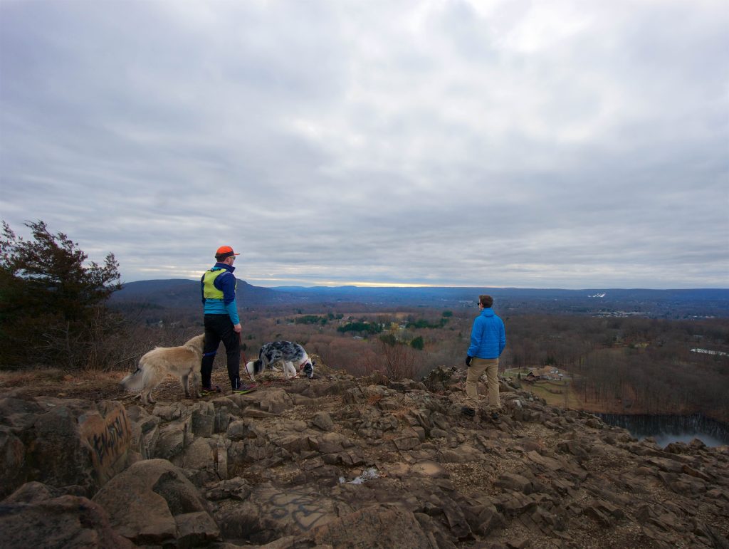
Ragged Mountain is one of the most popular and most recommended places to hike in Connecticut.  It is a complex property owned by state, land trust, and two towns.  There is heavy traffic on the weekends, but you’ll likely only pass a few others once you’re out on the trails.  Known for it’s traprock ridges the 761′ Ragged Mountain features rugged trails to great overlooks and is a well-known rock climbing destination.

Hiking

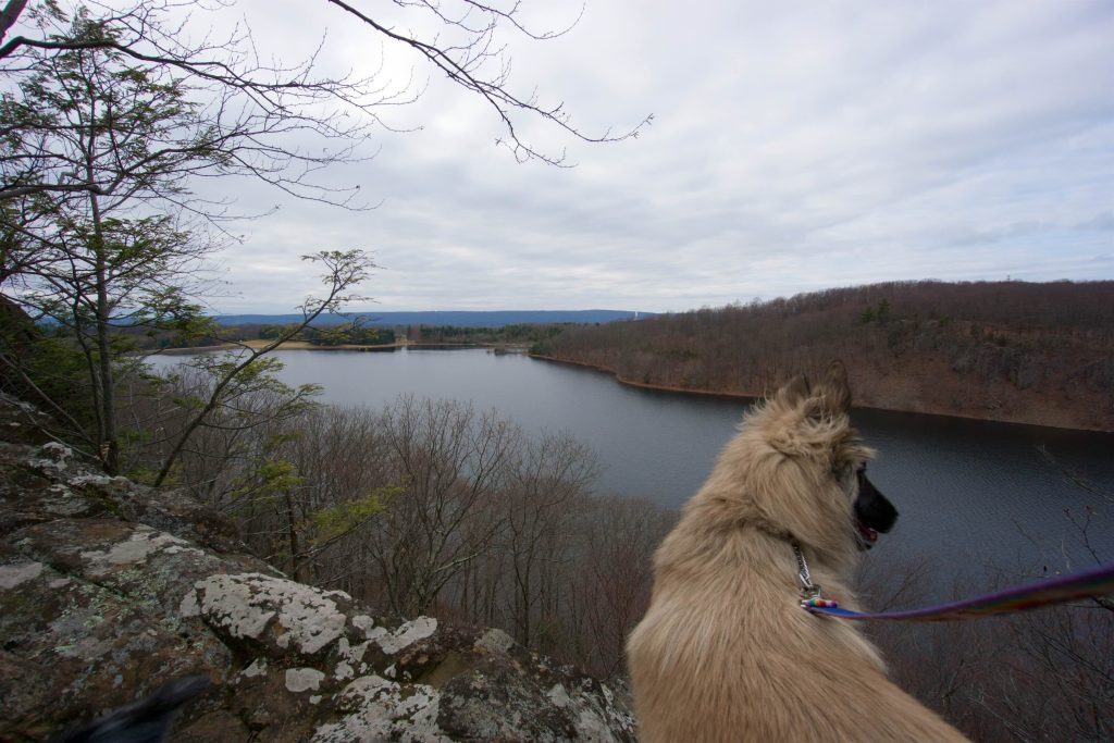
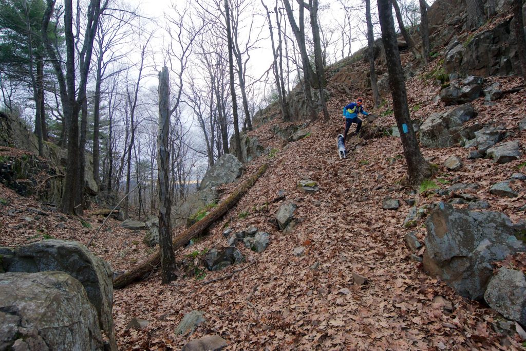
From the main trailhead on West Ln the trail quickly forks into three options heading east or west on the blue/red trail or straight on the orange trail.  The most rugged option is to take the left trail heading west on the blue/red.  It will take you to the overlooks most directly (the first is about a mile in) but it will also the most difficult.

I often take the orange trail options up to the Metacomet.  They still head uphill but more gradually and less rugged and loop back along the red/blue overlooks for a nice 4 mile hike.

I took the red/blue trail heading right once in early 2015 until I reached a stream 1/3rd of a mile in that was running across the trail with no way to cross so I turned around. I’m sure it’s not often a problem I just haven’t taken the trail again to explore that 1.5 mile section.

Metacomet Trail / New England Trail

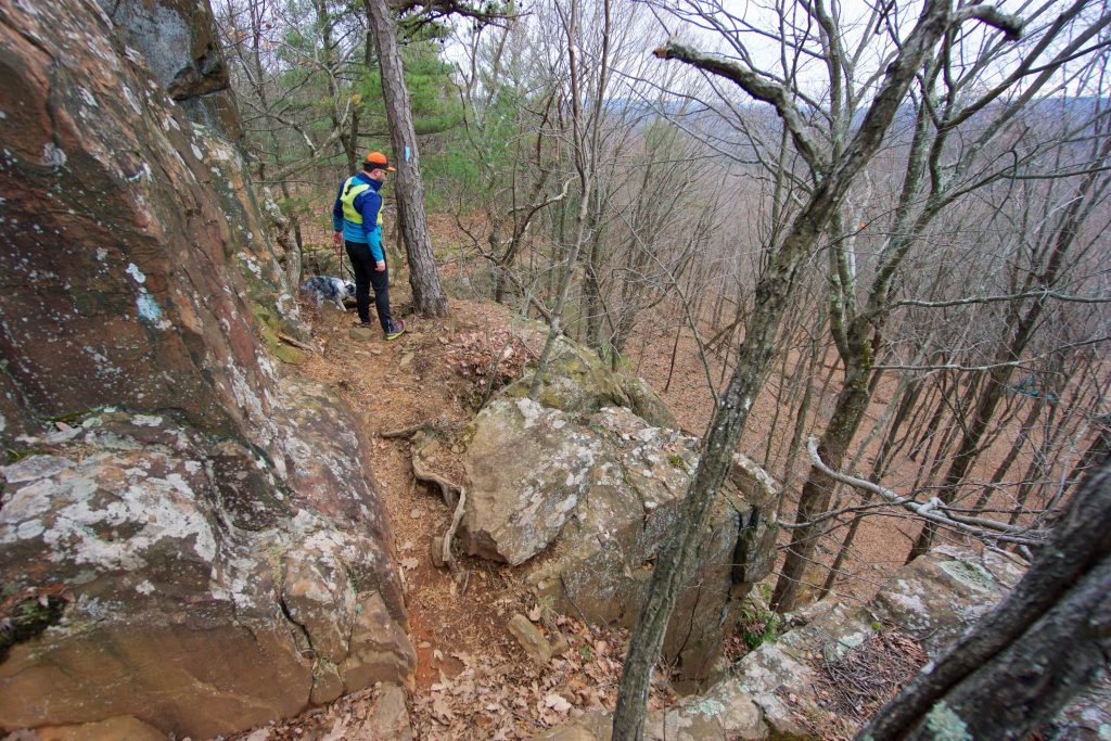
  • The main trail here is a 2.3 mile Metacomet section of the 235 mile New England Trail that runs through the preserve and can be followed in either direction.  Heading northbound starting at Carey St the trail climbs steadily through pines and past a trail register until reaching the first traprock wall and clambers up a steep bouldered chimney to a series of overlooks.  Just off trail is a memorial to Darin Jensen a climber who died after a fall from the cliff face.
  • The trail crosses small rocky ravines to reach the 761ft summit of Ragged Mountain and its expansive overlook with views west over Southington and south towards the Hanging Hills.  The trail follows the trap rock ridge until reentering the forest through hilly terrain until reaching another small vista overlooking Wassel Reservoir.
  • The next mile has several trails that connect to the main parking area on West Lane until taking a hard left and leaving the preserve. Those seeking a longer hike than the standard Ragged Mountain loop can continue north on to the ridge above the Shuttle Meadow Reservoir for an additional 1.5 miles out. This remote stretch is much less often traveled but provides its own overlooks and rock wall faces.
  • Heading north: 0.8 mile road walk to Crescent Lake / Sunset Rock
  • Heading south: Timberlin Park/Short Mountain

Rock Climbing

Ragged has a long history of rock climbing with first ascents dating back to the 1930’s.  Popular rock climbing spots like Owl’s Lair, Fox Den, and May Crack Block.  Fixed gear is not allowed so it is exclusively trad and tope rope climbing on a wide range of routes and difficulties.  As the Mountain Project notes,

Ragged Mountain is home to many fine crags, most of which are on private property, posted no trespassing, and have a history of landowner/climber tensions.

Stick to popular routes on the main cliff to avoid any issues.  The original guide from 1964 by John Reppy and Sam Streibert of the Yale Mountaineering Club can be read here.

Wiessner Slab Main Cliff
    88
5.3 Trad
Main Street Main Cliff
    45
5.4 Trad
Knight’s Move Main Cliff
    41
5.4 Trad
Ancient Way Main Cliff
    61
5.5 Trad
Wet Wall Main Cliff
    79
5.6 Trad

History:

From the Ragged Mountain Foundation site,

In July 1999, after years of successful land management, ownership of the property was granted to the RMF, while the conservation easement written and established by TNC was transferred to the Berlin Land Trust.


Links:

The information shown here is for general reference purposes only. exploreCT.org gives no warranty, expressed or implied, as to the accuracy or reliability of this data. Parking in all areas, whether designated here or not, is at your own risk. exploreCT.org is not responsible for any damage or loss to vehicles or contents.
Last updated Jan. 23, 2019

Visited 16375 times, 9 Visits today

Related Listings

Southworth Preserve

★★☆☆☆

41.770898, -72.200817

Southworth Preserve Mansfield Town Park 57 acres in Mansfield, CT Parking: Room for one car near 41 Dodd Rd Mansfield, CT Trail Map         …

Shenipsit Trail: South Terminus

★★★☆☆

41.576774, -72.551996

Shenipsit Trail – South Terminus at Great Hill Connecticut Blue Blaze Trail – Shenipsit in Portland, CT Parking: Small lot and shoulder parking off gravel Gadpouch Rd…

Shenipsit Trail: Dickinson Rd

★★☆☆☆

41.649529, -72.518351

Shenipsit Trail: Dickinson Rd Blue Blaze Trail and Connecticut State Forest in East Hampton and Glastonbury, CT Parking: Shoulder parking past 96 Dickinson Road, South Glastonbury, CT… Read more…