Quinebaug River Trail
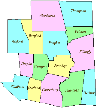
10 acres in Killingly, CT
Parking: Medium sized lot near 39 Wauregan Rd, Danielson, CT
Trail Map Trails: 3.1 miles Rating: ★★☆☆☆
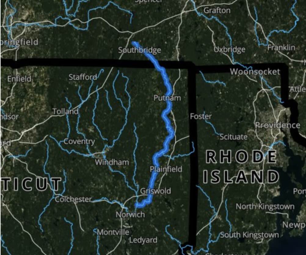
The Quinebaug River Trail is actually at least 4.8 miles long when combined with the northern section. I’ve chosen not to include it here since there is a significant gap between that northern section and this southern section.
Hiking/Biking
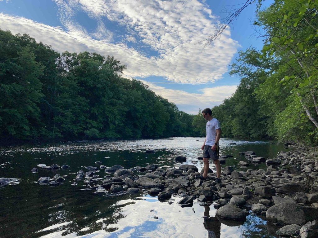
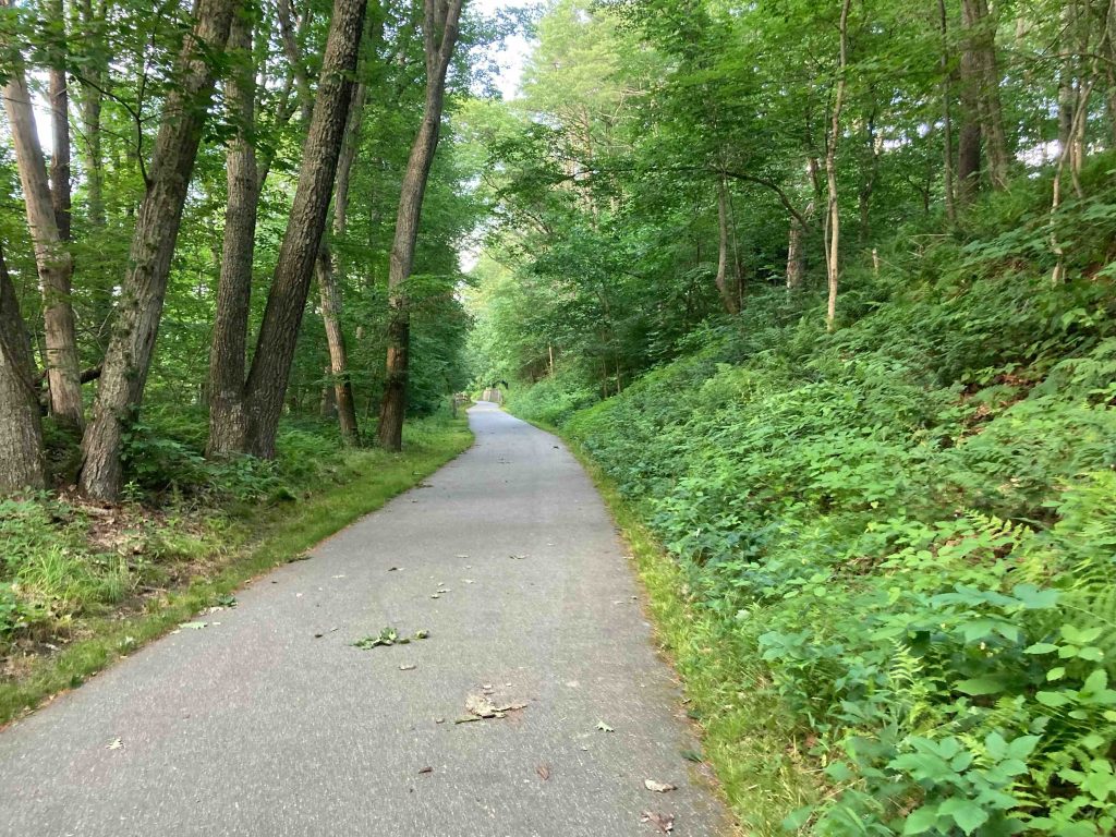
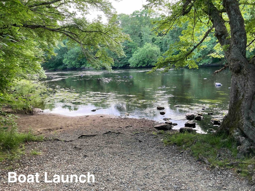
This trail is a paved rail-to-trails conversion which follows the curves of the Quinebaug River. The trail starts just south of Route 6 though the most popular access point seems to be at the ball fields next to the Killingly Water Control Plant on Wauregan Road. Once on the paved path you’ll pass the canoe launch and enter the tree lined tunnel.
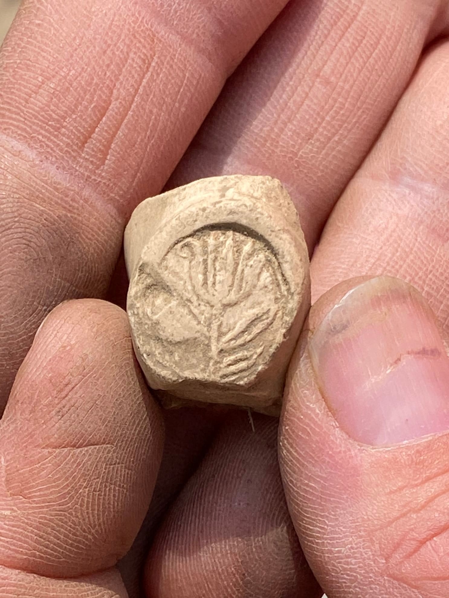
The first point of interest is a set of pull-up bars for the fitness trail (there are also dip bars, a balance beam, and a sit up bench later along the trail). Just past this is one of Connecticut’s State Archaeological Preserves with the Lebeau Fishing Camp and Weir (see the History section). Just down the bank is a triangle of rocks jutting out into the river which are the remnants of a Native American fishing weir. Though not much to look at on the surface an archaeological dig around 2003 uncovered nearly 9,000 artifacts.
The trail continues to bend and turn until reaching the end of Cady Street and soon a well built bridge over Fall Brook. Though you stay pretty close to private property the trail certainly feels secluded but open and well-traveled. There are benches every half mile or so, trash cans, informational signboards, and even a free little library along one of the curves.
After about 2 miles you pass by a dog park and not too long after a turnaround at the end of the paved section of trail. There are many options along the trail to descend the bank and find a spot along the water. After the pavement ends the trail switches to dirt and continues for at least another half mile becoming pinched between the river and a small pond. It eventually opens into the back of Jolley Concrete Sand & Gravel though it appears some adventurous souls continue south along river finding ways and paths, possibly making it all the way to Route 205.
I turned around at the obvious stopping point, got back to the pavement, and all the way back to the parking for just over 5 miles round trip.
Boating/Fishing
It’s about a 500′ carry from the Wauregan Road parking down to the boat launch. The river is slow and wide in this stretch and on my visit was fairly low with a rocky stretch to get through before reaching open water.
I was a couple fisherman along the banks on my visit. I know the DEEP stocks trout in a couple sections of this river, but that a trout stamp is required to keep any you catch.
History:
The fishing camp and weir is the oldest known example of this technology in Connecticut, and the wide date range and variety of recovered cultural materials found indicate that the weir and nearby seasonal camp were used by archaic peoples for a long time. The earliest diagnostic artifact documents the presence of Native Americans here 8,000 to 6,000 years ago, and the site saw continued use until 4,500 to 1,500 years ago.
Links:
The information shown here is for general reference purposes only. exploreCT.org gives no warranty, expressed or implied, as to the accuracy or reliability of this data. Parking in all areas, whether designated here or not, is at your own risk. exploreCT.org is not responsible for any damage or loss to vehicles or contents.
Last updated June 21st, 2022
Visited 3134 times, 2 Visits today