Prophet’s Rock

Hebron Town Park

1.5 acres in Hebron, CT

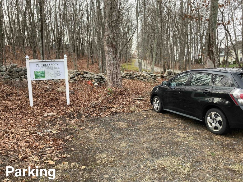
Parking: Small pull off near 166 Burrows Hill Road Hebron, CT

Trail Map       Trails: 0.15 miles        Rating: ★★☆☆☆


Prophet’s Rock is one of those places I’ve passed so many times and never known it was there, I’m sure that’s true for some of you as well.

A large trailhead sign right off Burrows Hill Road highlights the parking area and provides a brief history of the rock as an apocryphal part of Hebron. The trail built in 2007 is rarely visited and the wood chips are long buried under years of leaves, but still easy to follow up the hill.

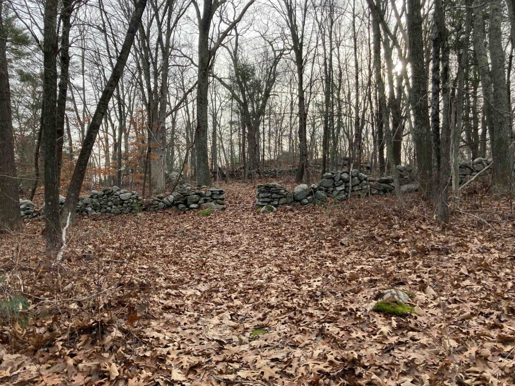
Passing through a rock wall and between private property the rock sits at the wooded summit of the hill.  Peter Marteka says there are commanding winter views of the town from the summit, but that was likely before the development on all sides.

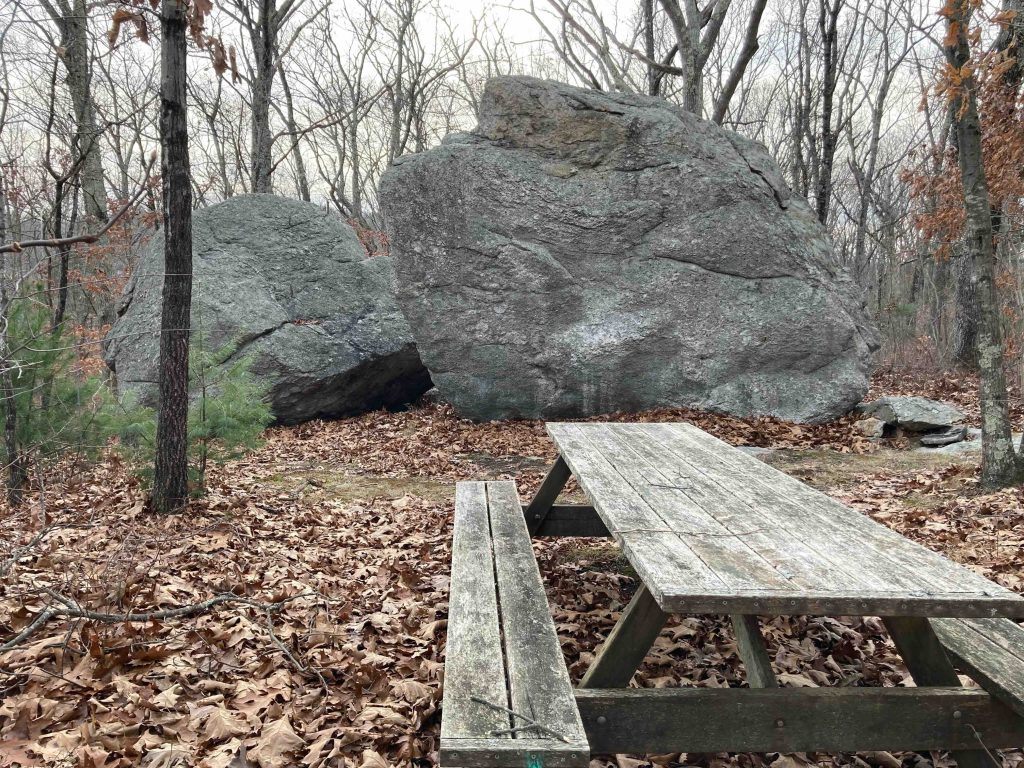
The rock is a giant split erratic and I spent a bit of time walking around and climbing on top.  There is a small geocache tucked in one of the alcoves.

History:

In 1704, men living in Windsor purchased some of the Legatee land, and set off to explore it and identify an area for settlement. After a few months, their wives grew weary of waiting, and decided to make the 25 mile journey themselves, but ultimately got off course in the wilderness. The women found themselves at Prophet’s Rock, scaled the top of the massive boulder, and called out for help. Hearing them, the husbands set off in that direction and soon the families were reunited.

Smith family decided to develop a portion of their farmland off Burrows Hill Road. Prophet’s Rock happened to be located on that particular parcel, and ultimately both the rock and an easement to it were deeded to the Town of Hebron on March 5, 2003

In October 2007, nearly 30 Boy Scouts and their parents assisted Billy Czaja in completing his Eagle Scout project hauling wood chips along the trail leading to the summit and building a picnic table at the top.


Links:

Peter Marteka – The Tales of Prophet’s Rock (2001)

The information shown here is for general reference purposes only. exploreCT.org gives no warranty, expressed or implied, as to the accuracy or reliability of this data. Parking in all areas, whether designated here or not, is at your own risk. exploreCT.org is not responsible for any damage or loss to vehicles or contents.
Last updated December 5th, 2022

Visited 1256 times, 2 Visits today

Related Listings

Shafran Conservation Area

★★★☆☆

41.89325,-72.40728

Shafran Conservation Area Tolland Town Park 65.3 acres in Tolland, CT Parking: Shoulder parking near 104 Eaton Road Tolland, CT Trail Map        Trails: 1.4 miles …

The Preserve

Unexplored

41.320698, -72.406485

The Preserve Essex Land Trust, Old Saybrook Town Park, State Forest 963 acres in Essex, Old Saybrook, and Westbrook, CT Parking: Essex Parking: Small lot at the… Read more…

Roaring Brook Park

★★★☆☆

827 Roaring Brook Rd, Cheshire, CT, USA

Roaring Brook Park Cheshire Town Park and Naugatuck State Forest 75 acres in Cheshire, CT Parking: Couple spaces and shoulder parking near 827 Roaring Brook Rd Cheshire, CT… Read more…