Photos

Description

Peterson Park

Wolcott Town Park and Blue Blaze Trail

82.58 acres in Wolcott, CT

Parking: Large lot near 123 Mad River Rd, Wolcott, CT

Trail Map         Trails: 2 miles       Rating: ★★★★☆


Peterson Park features the standard town park set of ball fields, courts, playscape, pavilion, and even a skatepark.  Where it really shines for the purposes of this site is as host of the northern terminus of the 42 mile Mattatuck Trail.  The park begins the first 1.8 mile section with gorgeous views, groves, and cascades as it follows the Mad River.

Hiking

There is a short 0.2 mile trail not shown on the trail map above around the eastern edge of the park between the park amenities and the river which reconnect back to the main trail.  There is also a smattering of trails across the bridge over the river for bonus exploration.

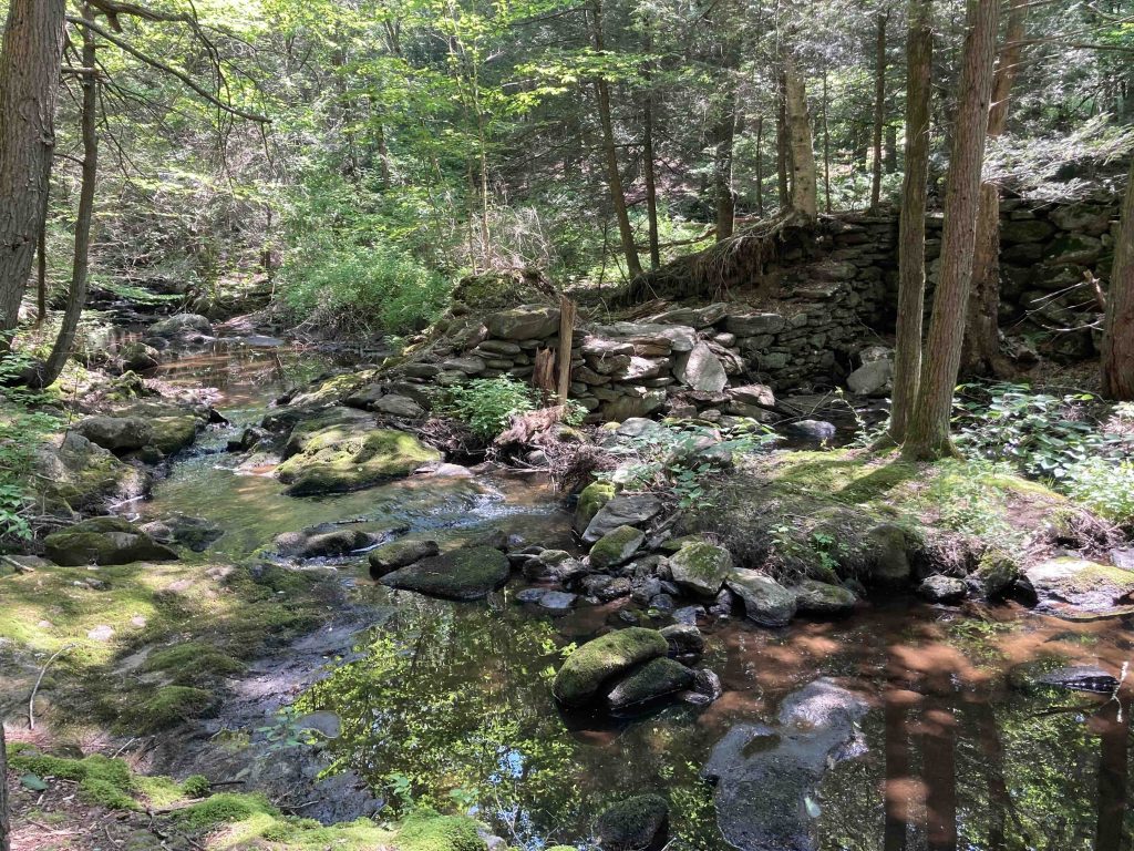
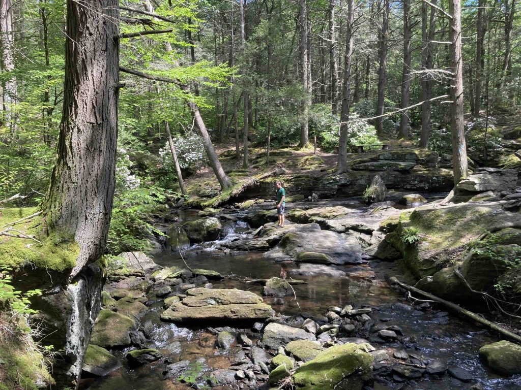
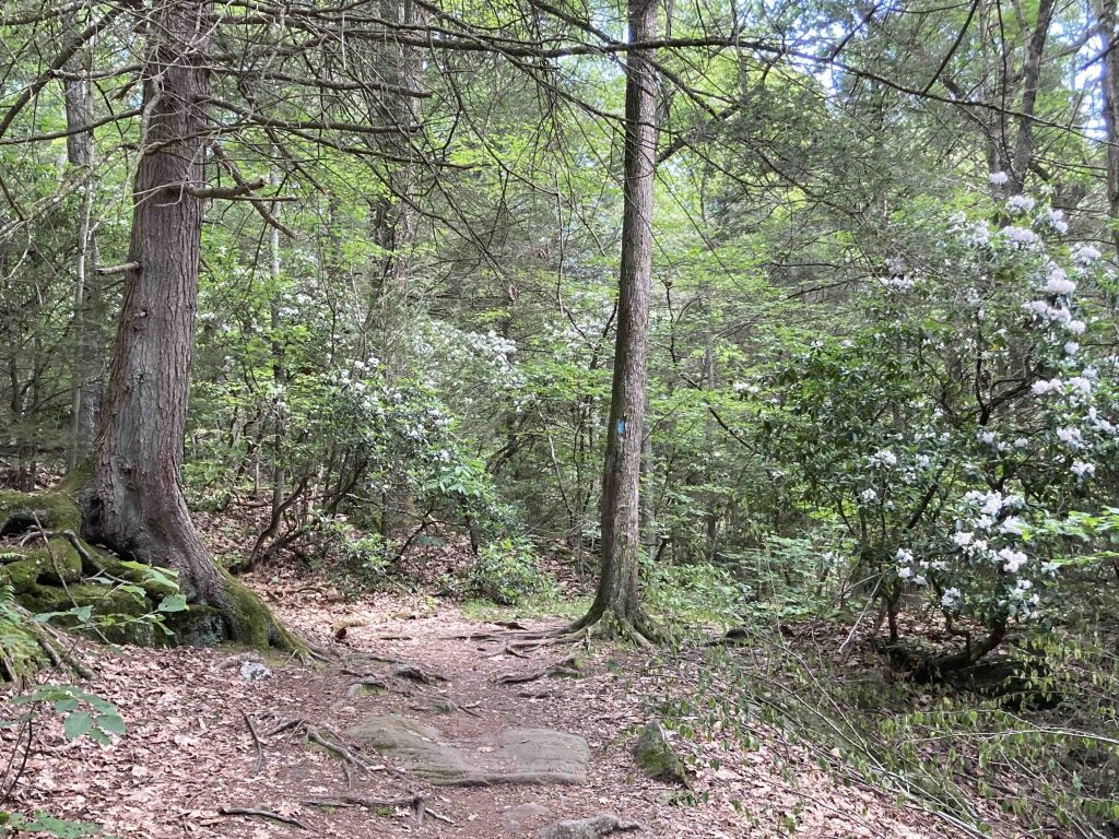
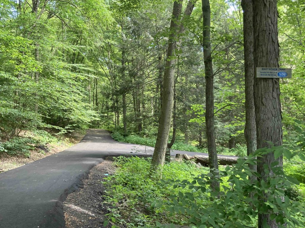
The main trail here starts at the back of the parking lot to the left of the skatepark quickly leaving the pavement to start the Mattatuck Trail.  This first stretch is 1.8 miles to Spindle Hill Road.  You head through old forest with the river off to your right.  You soon come to the river crossing where the trail opens into this array of ledges, cascades, evergreens, and mountain laurel that has few equals in the state.  My early morning hike meant that I had the whole area to myself though it was filled with two groups on the return trip. I can’t overstate how beautiful this first section is and was trying to invent a word similar to grove for this kind of captivating space.

Peter Marteka calls it, “a natural amphitheater – amidst towering hemlocks, filtered sunlight, tumbling and splashing water and an understory of moss-covered boulders, ferns and mountain laurel.”

The trail continues along the river climbing rock ledge banks and passing clear pools.  You do leave park property after around 0.9 miles caught between the river and the steep climb of Becar Hill.  The trail does eventually turn away from the river at a utility corridor which had a narrow gap through the growth following some thick telephone pole barriers to a utility access road.

This brief old road turns at shed and forgotten camper to climb uphill on freshly torn up earth traveled by heavy equipment.  A sign reminds you that this is private property and to stay on the blazed trail.  Thankfully this section quick turns back to normal trail that is a tight corridor through thick mountain laurel climbing gently all the way to steep descent right before Spindle Hill Road.

History:

The first 61 acres of Peterson Park were purchased by the town in 1963 additional purchases in 2000 of 9 acres and 2009 of 12 acres.


Links:

The information shown here is for general reference purposes only. exploreCT.org gives no warranty, expressed or implied, as to the accuracy or reliability of this data. Parking in all areas, whether designated here or not, is at your own risk. exploreCT.org is not responsible for any damage or loss to vehicles or contents.
Last updated June 19th, 2023

Visited 2124 times, 1 Visits today

Related Listings

Mianus River State Park

Unexplored

41.085348, -73.588012

Mianus River Connecticut State Park / Scenic Reserve / Stamford Town Park / Greenwich Town Park 527 acres in Stamford, CT Parking: One lot and two small…

Metacomet: Peak Mountain

★★★★☆

41.959133, -72.739260

Metacomet: Peak Mountain and West Suffield Mountain Connecticut Blue Blaze Trail, Traprock Ridge Land Conservancy, and Suffield Land Conservancy 142 acres in East Granby and Suffield, CT… Read more…

Maples Farm Park

★★☆☆☆

41.552723, -72.169208

Maples Farm Park Bozrah Town Park 32 acres in Bozrah, CT Parking: Medium lot near 45 Bozrah Rd, Bozrah, CT Trail Map      Trails: 2 miles …