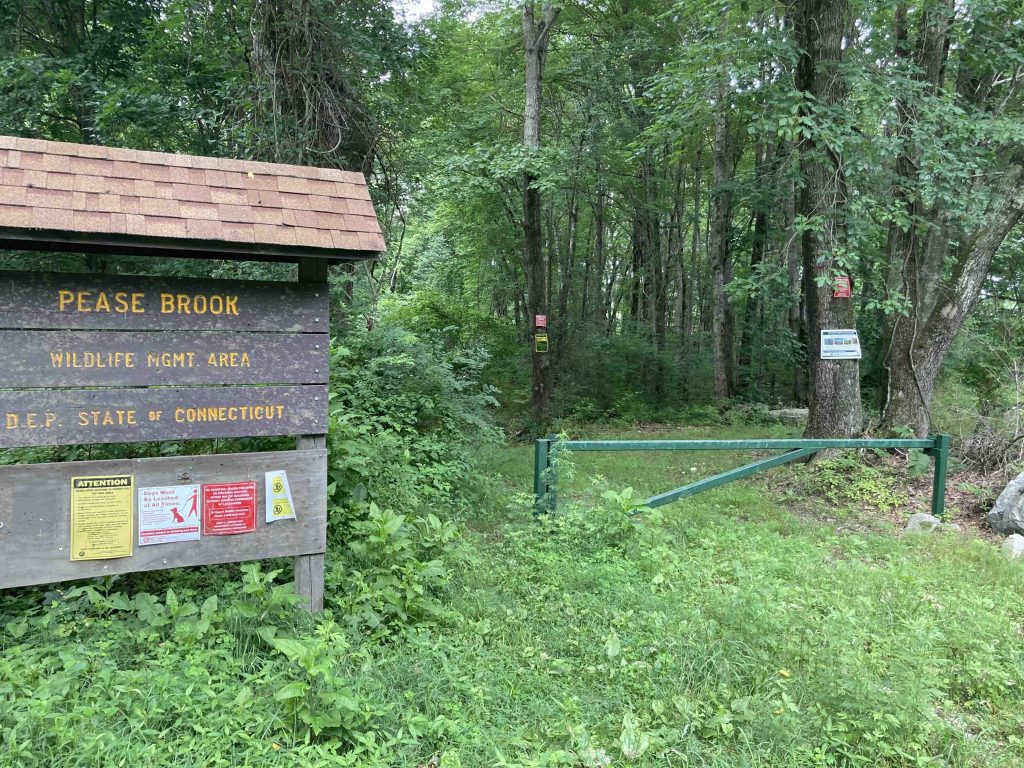
Pease Brook Wildlife Management Area
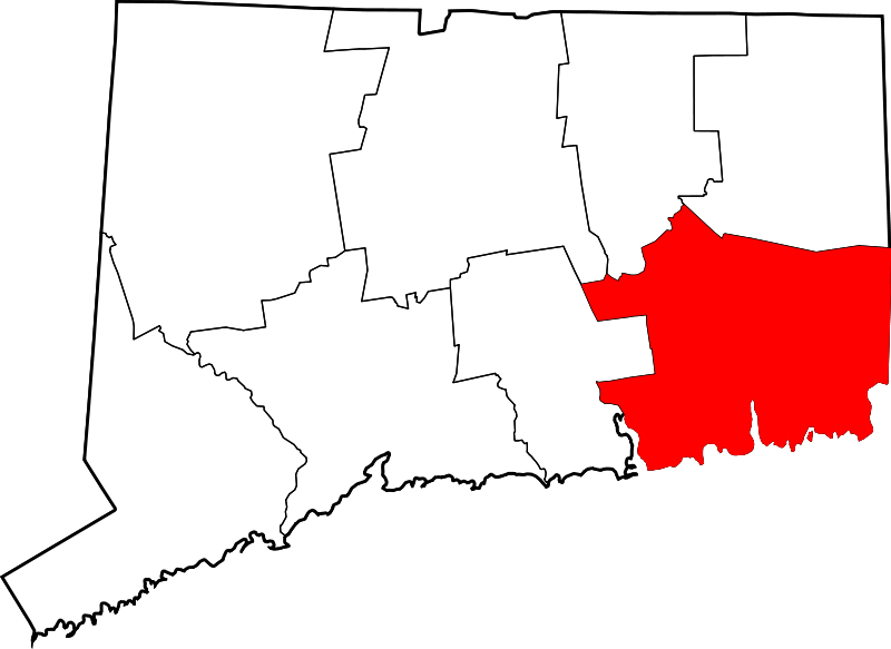
213 acres in Lebanon, Franklin, and Bozrah, CT
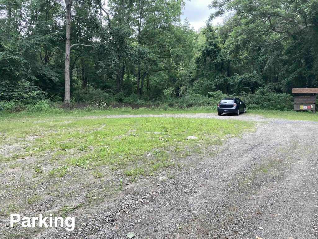
Parking: Medium sized lot near 103-213 Horiska Rd, Lebanon, CT
Hunting Map Trails: 1 mile Rating: ★☆☆☆☆
Note: As a WMA this area is open to hunting so its always best to wear orange especially from September – December.
Hiking
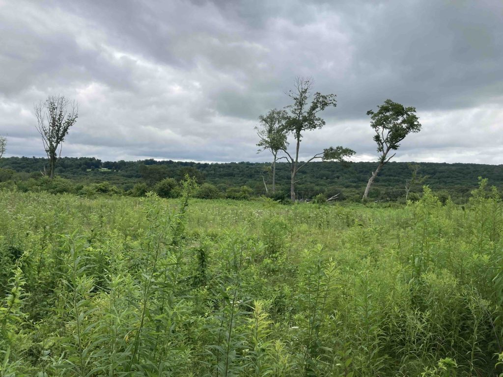
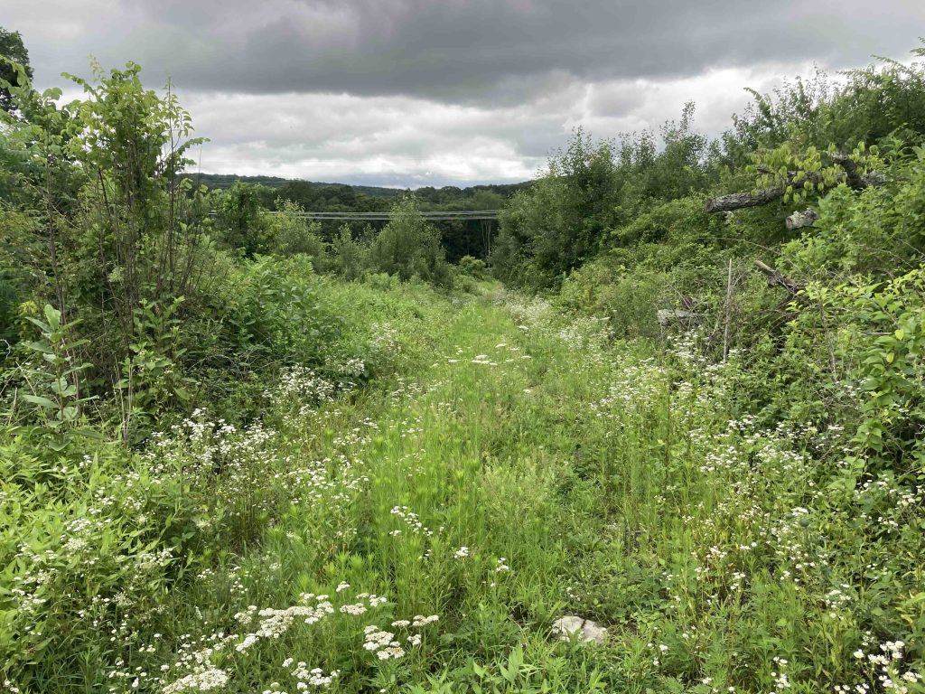
This isn’t a great spot for hiking, perhaps in early spring when you can wander around the fields or down the path. There is a wide path that heads downhill from the parking area skirting the edge of a field and making it’s way down to the utility corridor. The path is about 0.5 miles long and the first 60% is clear and easy walking. Once you leave the tree line it becomes overgrown though easily passable.
The path was likely used for access during the expansion of the utility corridor in the last few years. Crossing under the powerlines you should be able to continue downhill to Pease Brook. There are even signs highlighting that you’re getting near to a wild trout stream however fallen trees and dense brambles block you, the brook is about 800ft further into the woods.
The rest of the fields on the property were too overgrown on my July visit to fully explore.
History:
I can’t find a definitive reason for the name Pease Brook.
The one Pease surname I could find was Christopher and Hannah Pease who lived in Lebanon for 15 years from about 1748-1763. Christopher Pease and family moved up to Vermont and was later in the Revolutionary War with Captain Hazen’s Company in 1781.
Links:
The information shown here is for general reference purposes only. exploreCT.org gives no warranty, expressed or implied, as to the accuracy or reliability of this data. Parking in all areas, whether designated here or not, is at your own risk. exploreCT.org is not responsible for any damage or loss to vehicles or contents.
Last updated July 19th, 2021
Visited 2625 times, 3 Visits today