Pachaug Trail

Pachaug Trail Guide

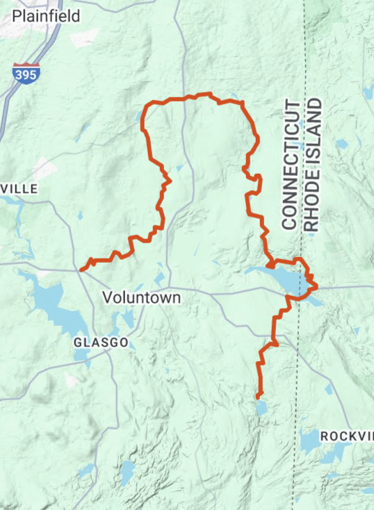
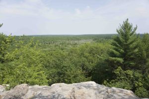
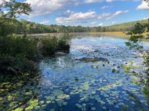
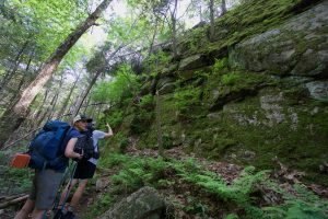
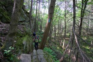
The Pachaug Trail runs 25 miles running through Voluntown, Sterling, Plainfield, and Griswold.  The trail passes ponds and reservoirs, Hell Hollow, the overlook at Mount Misery, and the Rhododendron Sanctuary.

There are also connections to the Nehantic, Quinebaug, and Narragansett Trails allowing for longer loops and backpacking options.

I hiked the trail with Mat Jobin for a ‘CT Trails Day’ hike in 2019.

Links

Section List

  • Green Fall Pond – Secluded hike through rock formations like Fat Mans Squeeze
  • Road Walk
  • Beach Pond – Surprisingly rugged terrain as you work through Rhode Island to the north end of the pond
  • Great Meadow Brook – Trail passes rock formations, marshes, ponds, and reservoirs
  • Road Walk
  • Hell Hollow – Large pine forest hike
  • Mount Misery/Rhododendron Sanctuary


Pachaug: Mt Misery & Rhododendron Sanctuary

★★★☆☆

Chapman Campground, Voluntown, CT, USA

Pachaug State Forest: Chapman Area Mt. Misery & Rhododendron Sanctuary Connecticut State Forest acres in Voluntown, CT Parking: Small lot near Cutoff Rd, Voluntown, CT Trail Map … Read more…

Hell Hollow

★★★☆☆

Hell Hollow Pond, Voluntown, CT, USA

Hell Hollow Pond Connecticut State Forest acres in Voluntown, CT Parking: Shoulder parking near Hell Hollow Rd, Voluntown, CT Trail Map       Trails: 7.5 miles   …

Green Fall Pond

★★★☆☆

41.535437, -71.810033

Green Fall Pond Connecticut State Forest and Blue Blaze Trail 200 acres in Voluntown, CT Parking: Large lot near Green Fall Pond Rd, Voluntown, CT Trail Map … Read more…

Beach Pond

★★★☆☆

41.584222, -71.805990

Beach Pond Connecticut State Forest / CFPA Blue Blaze Trail 400 acres in Voluntown, CT Parking: Large lot on North Shore Rd Voluntown, CT Trail Map   …