Nipmuck Trail – East Branch Terminus

CFPA Blue Blaze Nipmuck Trail

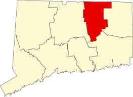
2.28 miles in Mansfield, CT

Parking: Large dirt lot at 28 North Windham Road, Mansfield, CT

Trail Map        Trails: 5 miles        Rating: ★★☆☆☆


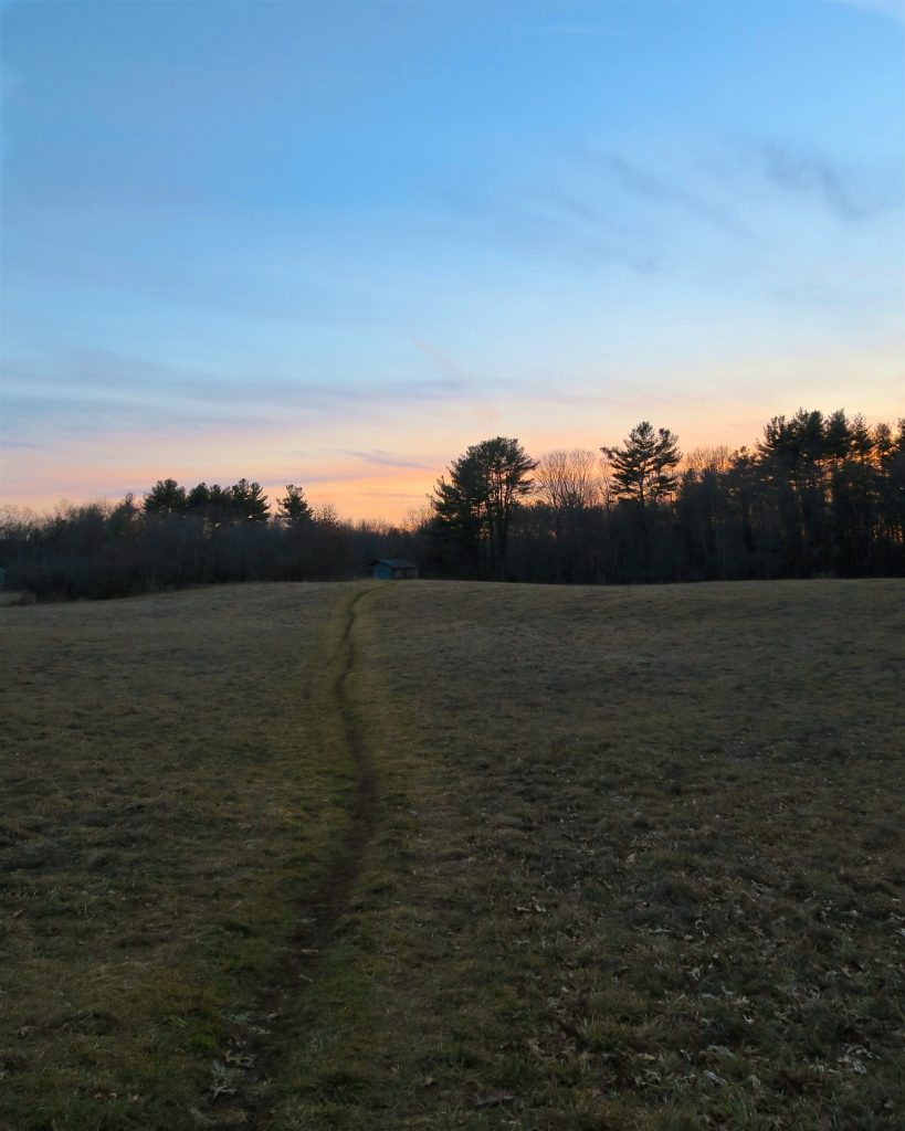
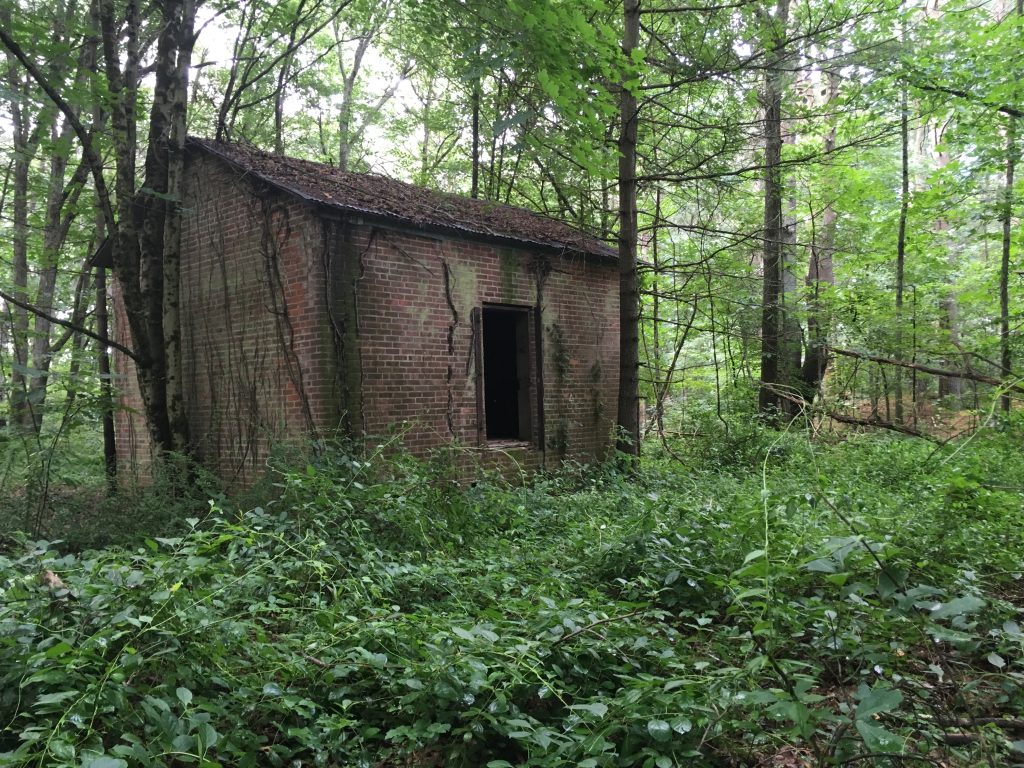
This 2.28 mile section of the Nipmuck Trail starts off alongside a weathered lean-to (lean-to removed in 2019) crossing a large field before winding between active agricultural fields.

The trail ascends to a steep ridge line that serves as flood control for Mansfield Hollow Lake.  It briefly follows an old road before cutting back towards the lake for a great overlook surrounded by pines.  The trail continues up and down over a number of steep hills before crossing a utility corridor.

With the expansion of the powerlines in 2016 the trail was slightly rerouted in two places between the utility corridor and the small parking lot along Bassett’s Bridge Rd.  

In summer of 2023 two additional reroutes were made by in the area about a half mile before Bassetts Bridge Road.  One pushing the trail slightly away from a new house that was built over 2021-2 curving around along a slope and over a new split log bridge.  And a second raising the trail to higher ground to avoid a gully that often flooded.

To continue on the Nipmuck Trail north take a left along the road to reach the continuation through the boat launch.

Next sections of the Nipmuck Trail:

Mountain Biking

A loop trail from the old paved road leads along the southern peninsulas of Mansfield Hollow Lake.  This narrow trail is overgrown in a couple spots, but provides rarely seen views away from the more popular destinations in the park.  The trail also passes an old campsite with a fireplace and a beautiful spot along the Natchaug River as it enters Mansfield Hollow Lake.  These trails amount to about 2 miles.

Screenshot

History:


Links:

The information shown here is for general reference purposes only. exploreCT.org gives no warranty, expressed or implied, as to the accuracy or reliability of this data. Parking in all areas, whether designated here or not, is at your own risk. exploreCT.org is not responsible for any damage or loss to vehicles or contents.
Last updated July 11, 2019

Visited 1929 times, 2 Visits today

Related Listings

Black Rock State Park

★★★☆☆☆

41.653222, -73.096907

Black Rock State Park Connecticut State Park 444 acres in Watertown, CT Parking: Two lots at 2065 Thomaston Rd, Watertown, CT Trail Map           Trails:…

Penwood State Park

★★★★☆

41.849723, -72.779525

Penwood State Park Connecticut State Park 787 acres in Simsbury and Bloomfield, CT Parking: Main Parking: Medium lot near 174 Hartford Rd, Simsbury, CT North End: Shoulder…

Gardner Lake

★★☆☆☆

41.500477, -72.225614

Gardner Lake State Park Connecticut State Park 10 acres in Salem, CT Parking: Large lot at 147 Old Colchester Rd, Salem, CT 06420 Boat Launch Map Hiking No…