Photos

Description

Nepaug State Forest

Connecticut State Forest

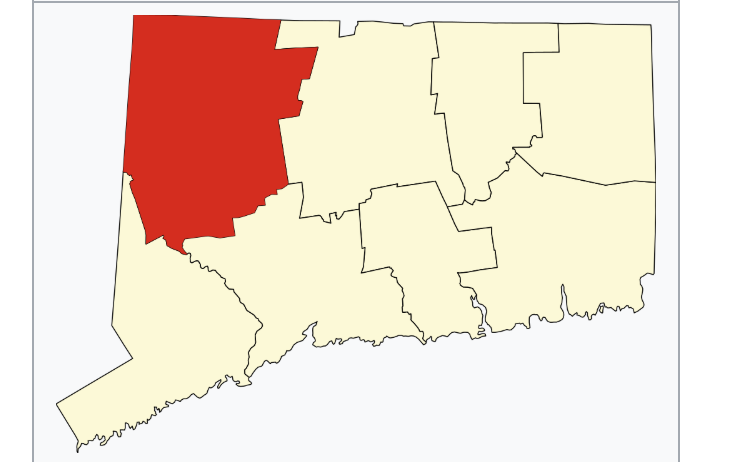
1,373 acres in New Hartford, CT

Parking: Small lot on Rt. 202

Trail Map              Trails: 18 miles           Rating: ★★★☆☆


Nepaug State Forest is primarily a mountain biking destination though there is plenty of trail to cater to hikers as well.  Highlights of the property include the Rome Spare Valley Overlook, the Tipping Rock backpacking campsite,  I first attempted Nepaug in Fall 2020 armed with the state trail map linked above which turned out to be grossly inadequate.  What follows is the story of my hike until I can get a better sense of the trails and how to present them.  Work in progress!

Hiking

On my first attempt hiking here in Fall 2020, I used the 2008 DEEP state forest map (linked above) which is woefully inadequate all these years later.  I was still able to find my way out to the overlook and back, but I wouldn’t recommend it for those without a good sense of direction.  My Summer 2022 was much more straightforward and some blazing work by the CFPA in early 2022 was a huge improvement.

Tunxis Trail3.4 miles

  • This trail was rerouted in March 2022 taking a large stretch off the gravel road and onto what was formerly the blue/yellow blazed ‘Tipping Rock Loop’
  • Heading north, the Tunxis trail now follows the gravel road for about 0.8 miles before turning onto the trail and ascending gradually and then up and down repeatedly over hills, tiny brooks, and rocky outcrops.  While not terribly technical there are some brief steep climbs/descents and some stretches are frequently rainwashed.
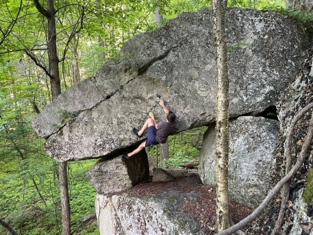
  • Just over 2 miles into the hike you’ll reach the fantastic Tipping Rock backpacking campsite.  Though the namesake rock no longer tips (circa the late 1950s).  The campsite is set on a small pine covered hill next to a long stretch of bold rock faces (explore along these for some fun surprises).
  • Past the campsite is a long downhill stretch with a short reroute to prevent erosion.  There is an overhanging boulder the had a steady dripping pour here that I used to collect water on my backpacking trip in 2022.  Though it likely dries up for a good portion of the year, so the only water source is all the way down to the Farmington River which is about 0.7 miles away.
  • Just before joining the gravel road along the river the trail passes through forest that was managed sometime around 2005
  • Next section: 0.75 mile road walk
  • Previous section 0.6 mile road walk

Valley Overlook Trail – 1.2 miles (one way)

  • My destination in 2020 was the Rome Spare overlook and while I started off on the blue blaze Tunxis Trail I quickly took a left off it onto an old forest road.  Thankfully my experiences with other state forests prepared me for the criss crossing network of old access roads, a handful of hiking trails, and a plethora of mountain bike singletrack.  It was a bit tough but sure enough I ended up on the blue/white Valley Overlook trail after nearly 3 miles.
  • The overlook at the end of the trail is almost a surprise as you pop out of the woods onto a narrow rock ledge with views west.  The overlook is named Romeyn A. Spare one of the original builders of the blue blaze Tunxis Trail.

Shelter Four Trail – 1.4 miles

  • This blue/green blazed trail was formerly a pretty straightforward hike down along a brook valley that was co-opted by mountain bikes and then re-blazed and extended in March 2022 to connect with the Tunxis Trail. It provides a great extension to the Tipping Rock loop though the mountain bike switchbacks can occasionally just be cut off.

Mountain Biking

I followed the blue/white trail back to the blue/yellow.  I diligently followed the blazes back though several sections that are too technical for mountain bikes so seemed to be rarely traveled.  About halfway back to the parking area the trail is interrupted by a impressive set of downhill mountain bike jumps and gaps.  Well-built and I’m sure fantastic to ride, I admired them until I realized I couldn’t find where the blue/yellow trail continued.

From here I was forced to again choose trails that seemed to head in the right direction until I ended up on the Tunxis Trail which I followed back to the parking for a total hike of 6 miles.

Mountain bikers can tool around for a whole day here, but I find it hard to recommend to hikers especially those who might be less confident in their sense of direction.  The Tunxis Trail offers an easy and well blazed path on mostly gravel access roads, but the rest are hit or miss blazing or just unblazed.

History:

Established as a state forest 1942 when it was split into two separate forests.  It was originally established to protect the streams feeding the State Fish Hatchery in Burlington which begain in 1927.

However, additional acquisitions were made to the north, in what became known as the Satan’s Kingdom Block of Nepaug Forest.  In 1942, it was divided to create two forests.  The southern Burlington Block became Nassahegon State Forest while the northern Satan’s Kingdom Block became the modern Nepaug State Forest.


Links:

DEEP – Letterboxing Nepaug State Forest
Peter Marteka – Hiking through Nepaug state forest past a tipping rock to Rome Spare Outlook (2018)
CTMQ – Nepaug Regional Trails (2008)

The information shown here is for general reference purposes only. exploreCT.org gives no warranty, expressed or implied, as to the accuracy or reliability of this data. Parking in all areas, whether designated here or not, is at your own risk. exploreCT.org is not responsible for any damage or loss to vehicles or contents.
Last updated June 5th, 2022

Visited 4461 times, 4 Visits today

Related Listings

Day Pond State Park

★★★★☆

41.557409, -72.418005

Day Pond State Park / Salmon River State Forest / Comstock Covered Bridge Connecticut State Park and State Forest 180 acres in Colchester, CT Parking: Day Pond…

Cole W. Wilde Trout Management Area

Unexplored

41.89399, -72.29749

Cole W. Wilde Trout Management Area Connecticut State Forest in Willington and Tolland, CT Parking: At the I-84 Westbound rest stop in Willington, CT Trail Map The… Read more…

Burr Pond State Park

★★★☆☆

41.870437, -73.093909

Burr Pond State Park Connecticut State Park 438 acres in Torrington, CT Parking: Small lot near 384 Burr Mountain Rd, Torrington, CT Trail Map       …