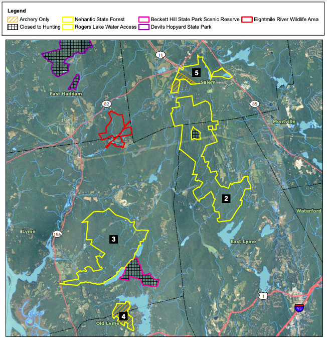
The trail is the southern terminus, navigating some deep woods to climb up and over Mt. Misery.
Rhododendron Trail – 0.4 miles
And short easy and flat trail that is the closest you’ll get to a jungle in Connecticut. “The Rhododendron Sanctuary in Pachaug Forest is one of those rare, unique places that must be on the to-see list of anyone who loves the outdoors. It is one of the state’s eight National Natural Landmarks. It is set in the middle of Connecticut’s largest state forest. And the shrubs grow in the heart of a rare Atlantic white cedar swamp.”
The information shown here is for general reference purposes only. exploreCT.org gives no warranty, expressed or implied, as to the accuracy or reliability of this data. Parking in all areas, whether designated here or not, is at your own risk. exploreCT.org is not responsible for any damage or loss to vehicles or contents.
Green Fall Pond is one of the most complete outdoor experience areas in the state. It serves as the junction of three long trails and offers camping, backpacking, swimming, and boating. There is a waterfall, ravine, mill ruins, glacial fields and so much more.
This section of the Narragansett starts from the eastern side coming from a road walk on Sand Hill Road. The 1.21 mile trail is a less traveled section but is easy to follow with a few interesting rock features. You’ll soon reach a dirt section of Green Fall Road which heads downhill before taking a left just before the Green Fall River. The mouth of the ravine features the remains of an old mill with a cairn that once held a wooden sluiceway aloft. The foundations of the mill are said to be off near the river, but I couldn’t spot them on my last visit.
The ravine is impressive and newly built bridges and boardwalks make this section a hidden gem. The trails then continues along cut into the steep bank until reach the outflow waterfall at the southern end of Green Fall Pond. The trail climbs up the side of the retaining wall for a view of the pond before skirting it’s edge for just over a half mile.
Among thick mountain laurel you’ll turn away from the pond and head into the forest. There is a newer red blazed trail not marked on the trail map above which heads north. Not far past that trail is a small clearing with an unmarked access trail to the Peg Mill lean-to backpacking shelter. Just a bit west is Peg Mill brook as a water source and the remains of the eponymous Peg Mill.
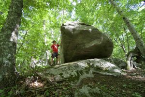
The southern terminus of the Pachaug Trail starts just west of the camping area heading north. It was a bit difficult to find on my last visit in 2019. The first feature is a “Fat Man’s Squeeze” a narrow curving break in a large boulder. The trail then ascends a boulder field following a forested ridgeline towards the multi-purpose trail. This deep forest section feels remote and alternates between narrow trail, occasional ATV track, marshy areas, and steep hillsides until reaching Rt 138.
Next section: —
Nehantic Trail
I hiked this 2.45 section in summer 2019 as part of a 30 mile Pachuag Loop, but unfortunately don’t remember much of note in this stretch.
Pond Loop
The 1.9 mile loop features many secluded views of the pond. Though rocky in many spots the is well maintained and well traveled by all.
The 48 acre Green Fall Pond is also known as Green Fall Reservoir. There is a dirt boat launch a bit before the camping area. No internal combustion engines are allowed so you’ll mainly see kayaks out on the water. Paddling around the pond will take about an hour and there are a few small islands.
Camping
The Green Falls Campground in Pachaug State Forest will be open for the 2021 season, from April 9 through October 11 (daily). The campground has 18 wooded sites. One pet per site is allowed. Alcohol prohibited.
The picnic areas, camping sites, earthen dam and even the road to the pond were built in the 1930s and early 1940s by the Civilian Conservation Corps’ Camp Lonergan; the camp was named after Connecticut Representative and Senator Augustine Lonergan. A nice footbridge crosses a stream in the campground; it was designed and built in May 2001 as an Eagle Scout project by Brian Hedler of Troop 75 Preston, Connecticut.
Links:
The information shown here is for general reference purposes only. exploreCT.org gives no warranty, expressed or implied, as to the accuracy or reliability of this data. Parking in all areas, whether designated here or not, is at your own risk. exploreCT.org is not responsible for any damage or loss to vehicles or contents.
The only hiking trail here is the blue blaze Nehantic Trail across the road from the main swimming area. The trail follows the ridges of some glacial esker or kame terrace terrain before crossing a small stream and then Roode Rd. Continuing west the Nehantic Trail will eventually meet the Quinebaug Trail or can be followed for 13 mile to the Green Falls Pond Area.
The information shown here is for general reference purposes only. exploreCT.org gives no warranty, expressed or implied, as to the accuracy or reliability of this data. Parking in all areas, whether designated here or not, is at your own risk. exploreCT.org is not responsible for any damage or loss to vehicles or contents.