Site logo
    • Explore
      • Blue-Blaze Trails
      • Land Trusts
      • State Parks and Forests
      • By Town
    • exploreCT+
      • Membership
      • Shop
      • Events
    • Blog
    • Town Guides
    Sign in or Register
    Listing cover image

    Nassahegon State Forest

    • Trails
      16 miles
    • Rating
      ★★★☆☆
    • Address
      Q334+4H Burlington, CT, USA
    • Explore
    • Trail Map
    • Reviews 0
    • New Page
    • prev
    • next
    • Bookmark
    • Share
    • Get directions
    • Report
    • prev
    • next
    At A Glance

    Connecticut State Forest

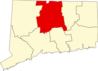
    1,093 acres in Burlington, CT

    Parking:

    • Small pull-off near 158-498 Stone Rd, Burlington, CT
    • Shoulder parking near 506 George Washington Turnpike, Burlington, CT
    • Small lot near 600 George Washington Turnpike, Burlington, CT

    Trail Map         Trails: 16 miles        Rating: ★★★☆☆

    Nassahegon State Forest in Burlington preserves over 1000 acres and is known for its fish hatchery, extensive mountain bike trails, and colonial history. I’ve yet to find a high quality trail map but Alan Perrie has done great work on suggesting loops and offers specific loop maps here on the Burlington town site.

    Hiking
    • Blue/Purple – Punch Brook Trail – 1.6 Miles
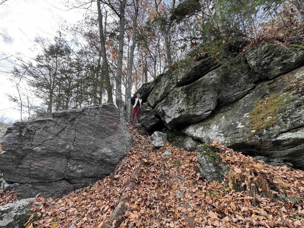
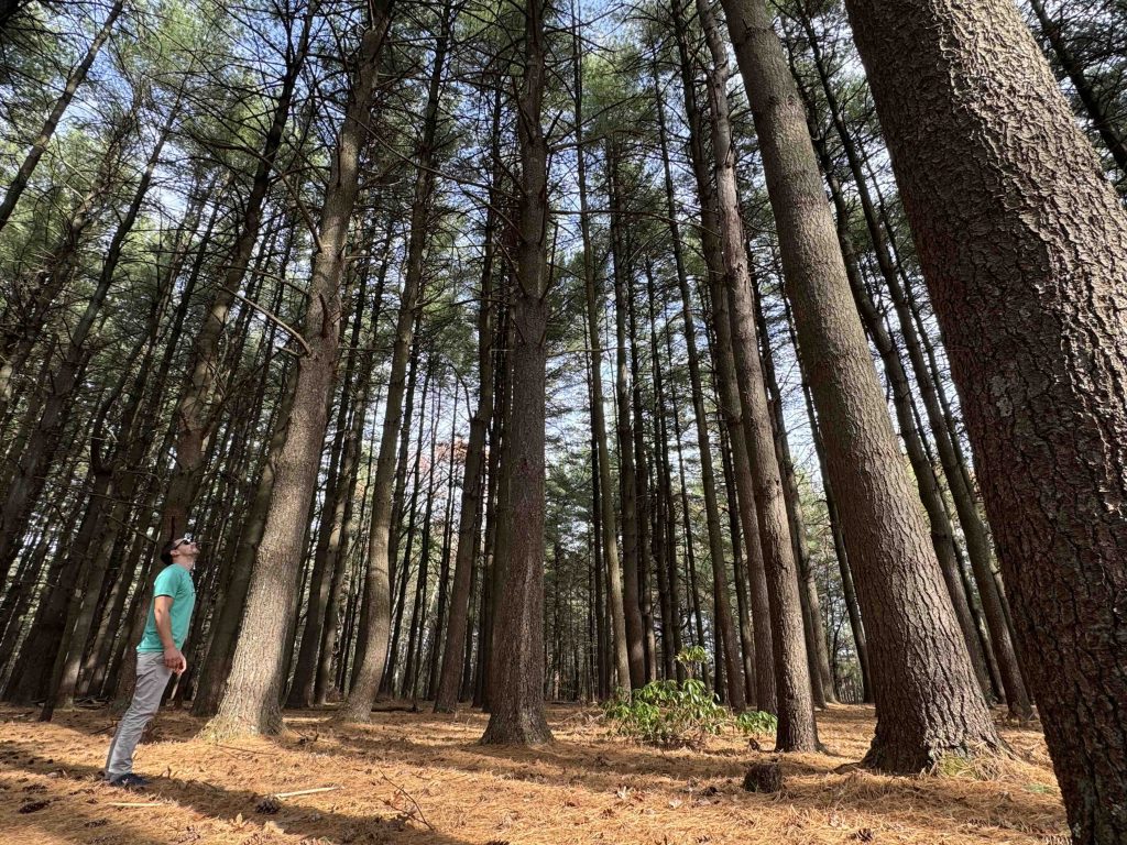
      • The blue/purple trail starts from George Washington Turnpike heading down into a gully and weaving between mountain bike trails to reach a bridge crossing over Punch Brook (this trail being half of the Punch Brook Loop). The trail gains a bit of ground, crosses Punch Brook Road and through some dense understory to the junction with the Blue/Red Trail. The trail then switchbacks up a steep hill, along the backside of private property, and over a couple hills to reach a majestic stand of pines from an old plantation. The trail then climbs through a rocky ledge to join the Blue/Yellow Trail
    • Blue/Yellow Trail – 9.4 miles
      • I’ve hiked from the 1.5 miles between the two connections with the blue/purple trail the rest is unexplored.  In the northern stretch the trail is largely wide old woods access roads until meeting Punch Brook Road, after crossing it becomes a narrow winding path through the pines over hilly terrain. Immediately south of George Washington Turnpike it becomes woods access roads again.
    • Blue/Red North Trail
    • Blue/Red South Trail
    • Blue/Orange Trail
    History

    There are at least a dozen different parcels here owned by the state the majority of which were purchased by the state sometime around 1943 and the most recent being in 2004.

    This state forest was featured in the 2024 Sky’s the Limit Hiking Challenge.

    Links

    DEEP Forest Management Plan 2016 – 2026

    Peter Marteka – Old Jail, Transient Camp In Wilds Of Burlington (2018)

    CMTQ – Nassahegon State Forest Intro (2008)

    Tags
    • ★★★☆☆
    • 2024
    • Explored
    • Burlington
    • Hartford County
    • Peter Marteka
    • State Forest
    Last Updated

    The information shown here is for general reference purposes only. exploreCT.org gives no warranty, expressed or implied, as to the accuracy or reliability of this data. Parking in all areas, whether designated here or not, is at your own risk. exploreCT.org is not responsible for any damage or loss to vehicles or contents. Last updated November 4th, 2024

    Trail Map
    Location
    • Q334+4H Burlington, CT, USA

      Get Directions
    Gallery
    Categories
    • Hiking
    • Mountain Biking
    Gallery
  • No comments yet.
  • Add a review

    Leave a Reply · Cancel reply

    Your email address will not be published. Required fields are marked *

    Overall Rating

    You May Also Be Interested In

    Spruce Brook Falls

    • ★★★★★
    • 16 miles
    Featured
    FW6F+CW Beacon Falls
    • Quick view
    • Bookmark

    Arnold E. Holm Jr. Memoral Park

    • Unexplored
    • 0.3 miles
    37 Rope Ferry Rd
    • Quick view
    • Bookmark

    Camp Oakdale

    • Unexplored
    • 1.4 miles
    176 Meeting House Ln
    • Quick view
    • Bookmark

    Hi, I’m Matt.

    I’m building ExploreCT to be the guide for all your outdoor adventures. All the trails, views, and waterways this great state has to offer.

    Now get out and explore!

    Monthly Newsletter

    Each month I share site updates or an interesting article in my newsletter. It’s short, sweet, and practical.

    600+ explorers read it, I’d love for you to join.

    Thank you!

    You have successfully joined our subscriber list.

    X-twitter Youtube Envelope Instagram

    Cart

      • Facebook
      • X
      • WhatsApp
      • Telegram
      • LinkedIn
      • Tumblr
      • Reddit
      • VKontakte
      • Mail
      • Copy link
      • Share via...
      • Threads
      • Bluesky