Site logo
    • Explore
      • Blue-Blaze Trails
      • Land Trusts
      • State Parks and Forests
      • By Town
    • exploreCT+
      • Membership
      • Shop
      • Events
    • Blog
    • Town Guides
    Sign in or Register
    Listing cover image

    Mount Higby

    • Trails
      2 miles
    • Rating
      ★★★★☆
    • Address
      G7Q4+M7 Middlefield, CT, USA
    • Explore
    • Trail Map
    • Reviews 0
    • New Page
    • prev
    • next
    • Bookmark
    • Share
    • Get directions
    • Report
    • prev
    • next
    At A Glance

    Blue Blaze Trail and The Nature Conservancy

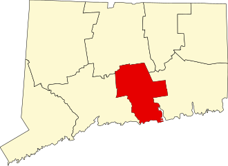
    in Middlefield and Middletown, CT

    Parking:

    • Middle: Shoulder parking at the end of Preston Ave, Meriden, CT
    • South End: Medium sized lot near Rt 66/Meriden Rd, Middlefield, CT

    Trail Map         Trails: 2 miles       Rating: ★★★★☆

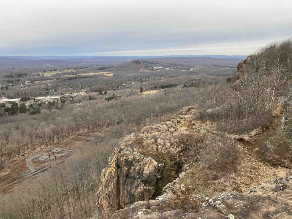
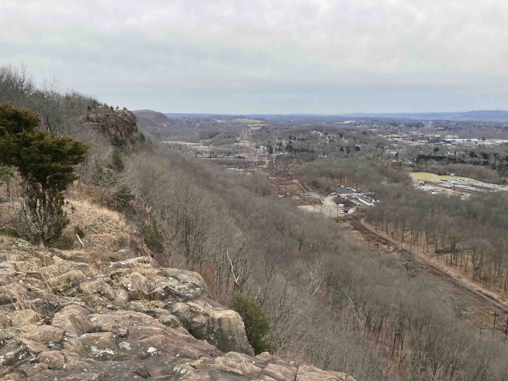
    Mount Higby alos know as Higby Mountain offers fantastic views west from its traprock ridges.  Trailed almost entirely by the blue blaze Mattabesett Trail and the cliffs are part of the Metacomet Ridge.  The land is preserved in part by the state with a parcel of the Cockaponset State Forest, The Nature Conservancy, and the CFPA.

    Hiking

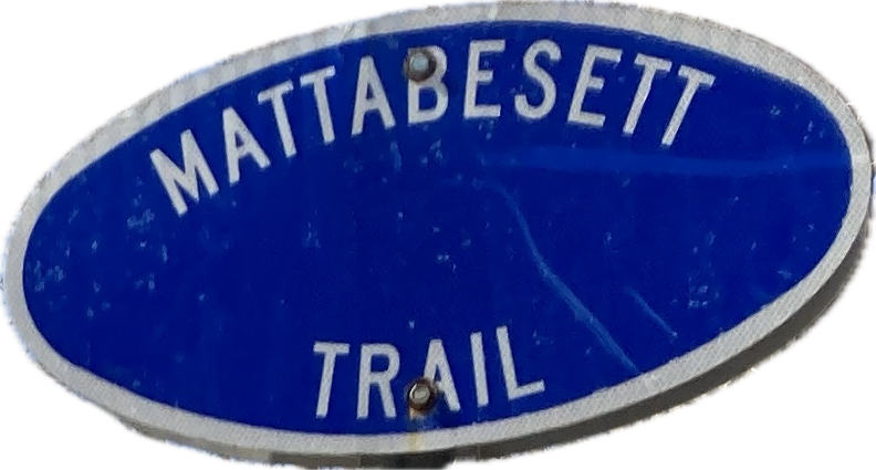
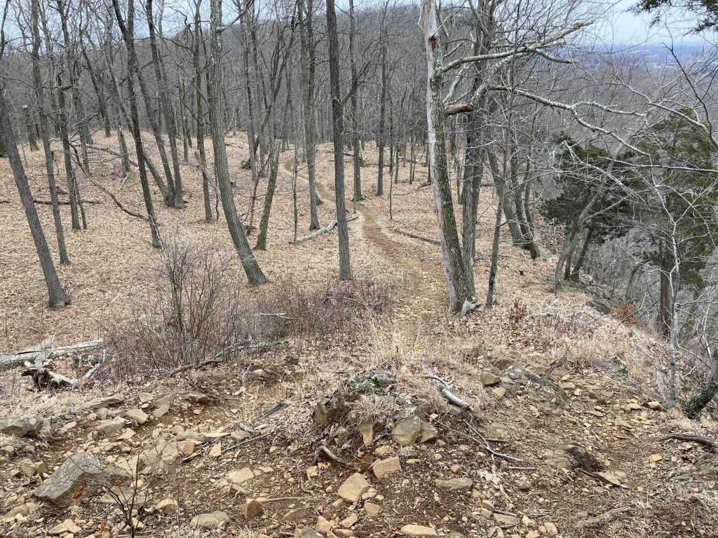
    This section of the blue blaze Mattabesett Trail, part of the 235 mile New England Trail, comes from crossing Rt. 66 next to New Guida’s restaurant (with “world famous” hotdogs) over to a parking area trailhead and then works up a steep very rocky climb to the ridge.  While it is only 0.4 miles from the parking area to the first overlook, the traprock covering the trail and the rocky climbs make this a bit more of challenge.

    It doesn’t seem to deter many on these well-worn trails as the views are more than worth it.  A first partial overlook has views south to Black Pond and after another up and down reaches the first real set of views west over Meriden. There is well over 1000′ of exposed ridge line with the trail right up against the drop in parts and veering off into the bushes in others.

    The trail then descends off the first ridge into Preston Notch with access down to the middle parking area at Preston Ave.  There is a small cascade over a series of rock ledges on what appears to a pretty regular seasonal stream.

    The trail then begins to climb again up to Camel’s Hump.  Though less exposed here there are still 2-3 great viewpoints though much closer to I-91 and its traffic noise.  The trail follows the ridge above the highway rest area before descending off the back side crossing into Middletown’s Wesleyan Woods.

    Heading north: Wesleyan Woods Conservation Area

    Heading south: Black Pond

    Links

    The Nature Conservancy – Higby Mountain Preserve

    Peter Marteka – Hitting The Higby Heights (2010)

    CTMQ – Mattabesett Trail: Section 2 (2008)

    Tags
    • ★★★★☆
    • 2023
    • 2024
    • Explored
    • Cockaponset State Forest
    • Mattabesett
    • Metacomet Ridge
    • Middlefield
    • Middlesex County
    • Middletown
    • New England Trail
    • Overlooks
    • Peter Marteka
    • Sunset Views
    • The Nature Conservancy
    Last Updated

    The information shown here is for general reference purposes only. exploreCT.org gives no warranty, expressed or implied, as to the accuracy or reliability of this data. Parking in all areas, whether designated here or not, is at your own risk. exploreCT.org is not responsible for any damage or loss to vehicles or contents. Last updated January 19th, 2023

    Trail Map
    Location
    • G7Q4+M7 Middlefield, CT, USA

      Get Directions
    Gallery
    Video
    Categories
    • Hiking
    Gallery
  • No comments yet.
  • Add a review

    Leave a Reply · Cancel reply

    Your email address will not be published. Required fields are marked *

    Overall Rating

    You May Also Be Interested In

    Spruce Brook Falls

    • ★★★★★
    • 16 miles
    Featured
    FW6F+CW Beacon Falls
    • Quick view
    • Bookmark

    Thach Preserve

    • ★★☆☆☆
    • 1 miles
    123 Brush Hill Rd
    • Quick view
    • Bookmark

    Mendell's Folly

    • ★★★★☆
    • 3.8 miles
    390 Beacon Rd
    • Quick view
    • Bookmark

    Hi, I’m Matt.

    I’m building ExploreCT to be the guide for all your outdoor adventures. All the trails, views, and waterways this great state has to offer.

    Now get out and explore!

    Monthly Newsletter

    Each month I share site updates or an interesting article in my newsletter. It’s short, sweet, and practical.

    600+ explorers read it, I’d love for you to join.

    Thank you!

    You have successfully joined our subscriber list.

    X-twitter Youtube Envelope Instagram

    Cart

      • Facebook
      • X
      • WhatsApp
      • Telegram
      • LinkedIn
      • Tumblr
      • Reddit
      • VKontakte
      • Mail
      • Copy link
      • Share via...
      • Threads
      • Bluesky