Photos

Description

Mount Bushnell State Park

Connecticut State Park

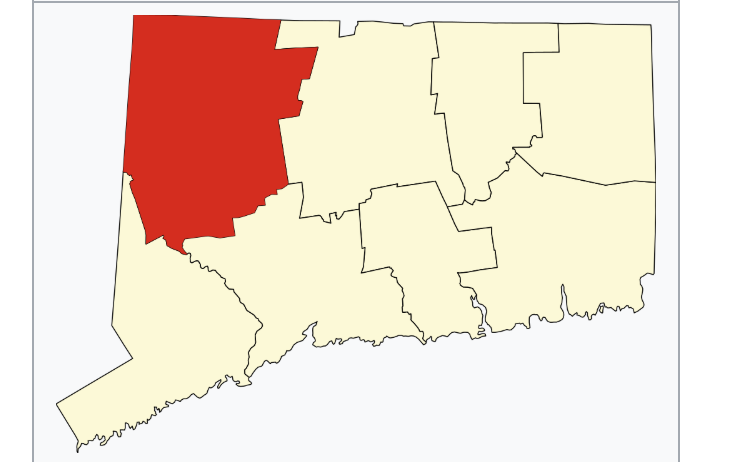
214 acres in Washington, CT

Parking: Small lot at the end of Tinker Hill Rd, New Preston, CT

Trail Map      Trails: No Trails        Rating: ★☆☆☆☆


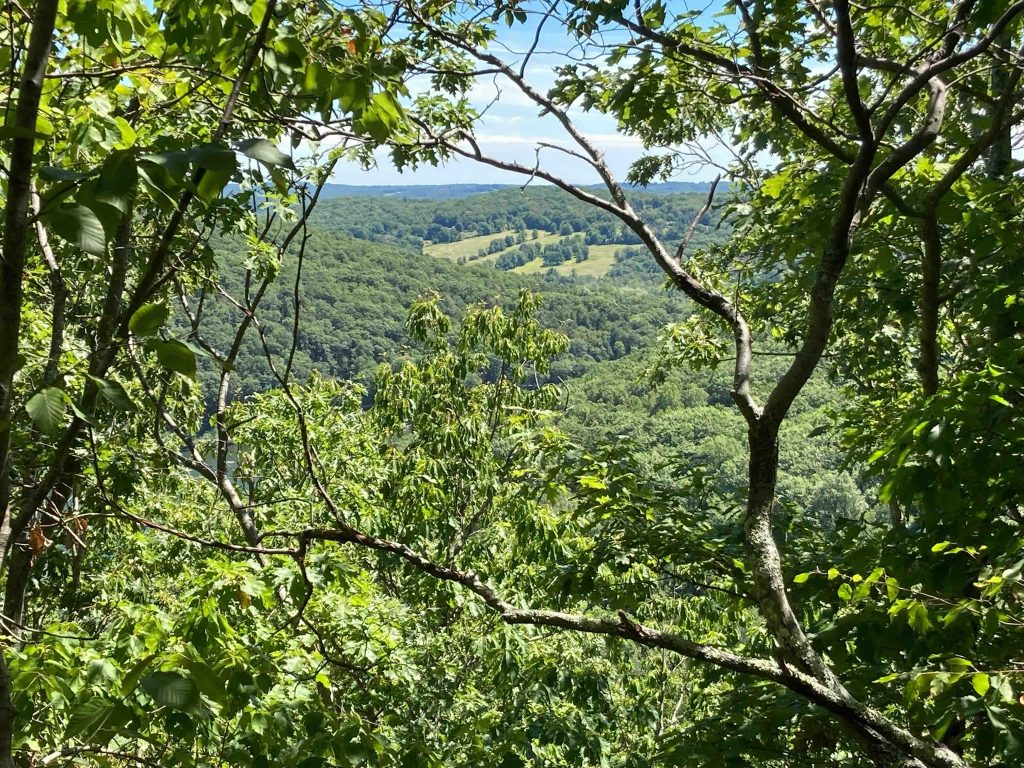
Mount Bushnell is one of Connecticut’s ‘scenic reserve‘ state parks which means it is undeveloped largely meant to preserve the land.  Plenty of sources around the internet promise “hiking aplenty” and “offers some of the best hiking trails in Connecticut” and I have found a couple pictures that do suggest it has an overlook, but most seem to be just photos of nearby Macricostas Preserve or  Lake Waramaug State Park.

Hiking

As far as I can tell there are no blazed trails here so the map above is just me largely wandering though the woods.

I explored the park from the small pull-off at the end of the north section of Tinker Hill Road.  I was hoping to spot some kind of trail from explorers before me, but found none.  If you walk a bit down the driveway at the end of the road you can find the abandoned stretch of Tinker Hill Road which connects to the southeastern ‘Marks Hollow’ section (also in someone’s driveway).

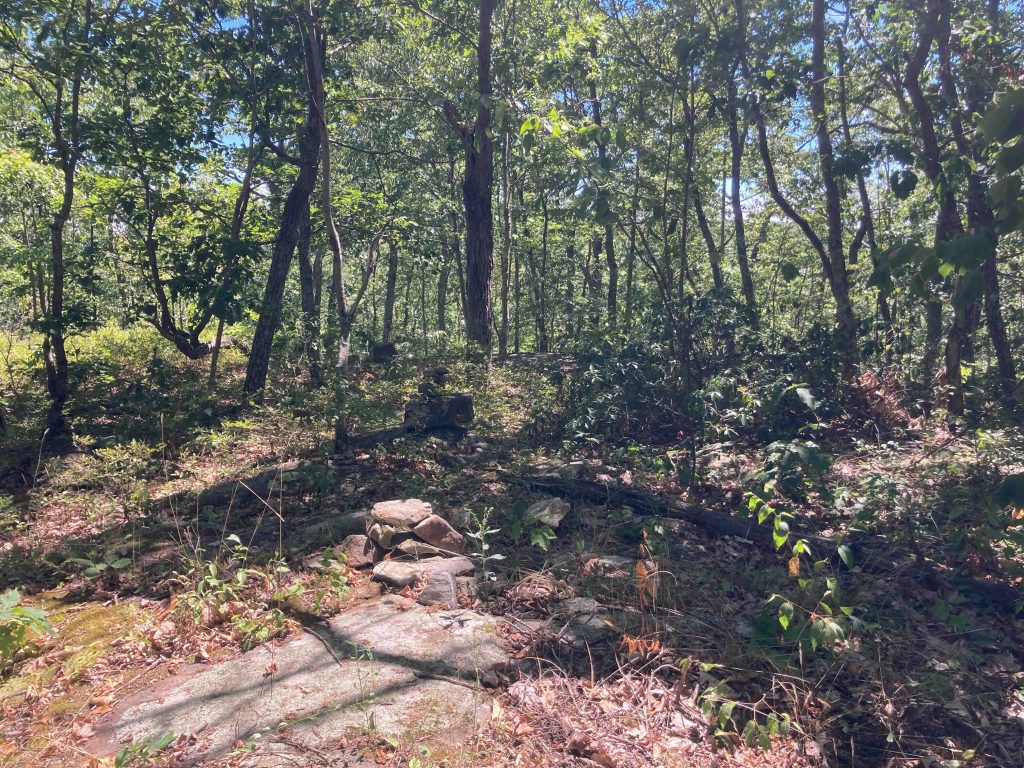
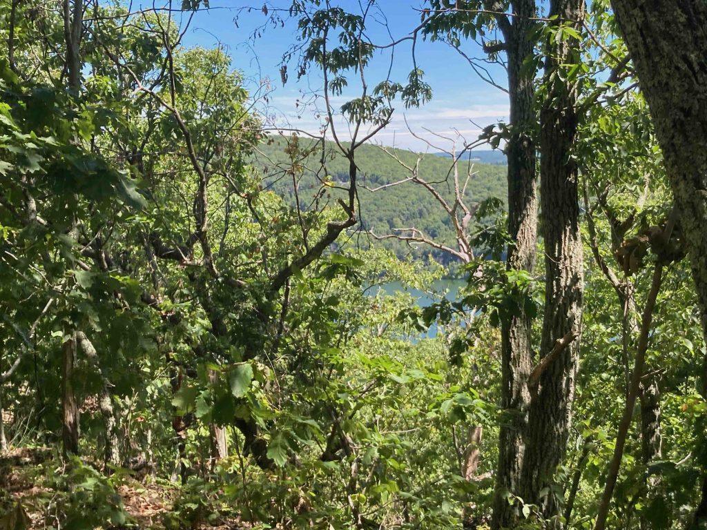
I wandered off among the trees basically just trying to gain elevation choosing my own path between rocks, spiderwebs, and stonewalls.  I eventually reached a couple rocky outcrops with tiny windows overlooking east through the trees.  A bit beyond that I reached the forested summit marked by a stack of rocks that I thought at the time was Mount Bushnell, but upon returning home discovered it was Tinker Hill (elevation 1194′).  Beyond the summit there was actually some kind of trail heading down to the southwestern section of Tinker Hill Road which ended next to private property.  There was a backhoe here, which may have driven up the trail at some point recently making the trail more obvious.

The summit of Mount Bushnell is only about a 1/4 mile further south but would be difficult to access from Tinker Hill. I suspect there’s a trail that starts somewhere near the Washington Public beach so I’ll have to make a second attempt sometime soon.

History:

Established as a state park in 1916.


Links:

The information shown here is for general reference purposes only. exploreCT.org gives no warranty, expressed or implied, as to the accuracy or reliability of this data. Parking in all areas, whether designated here or not, is at your own risk. exploreCT.org is not responsible for any damage or loss to vehicles or contents.
Last updated August 12th, 2022

Visited 2148 times, 3 Visits today

Related Listings

Lake Williams State Park

★★☆☆☆

41.629718, -72.301327

Lake Williams State Park Connecticut State Park in Lebanon, CT Parking: Small lot near 1644 Exeter Rd, Lebanon, CT Trail Map          Trails: Less…

Sugar Brook

★★☆☆☆

41.716444, -71.941710

Sugar Brook / Quinebaug River Wildlife Management Area / Tillinghast Preserve Sugar Brook Field Trial and Wildlife Management Area and Wyndham Land Trust Estimated 400 acres in…

Trout Brook Valley

★★★☆☆

41.247271, -73.344313

Trout Brook Valley Connecticut State Park and Aspetuck Land Trust 1,009 acres in Easton and Weston, CT Parking: Small lot on Bradley Rd Weston, CT Small lot… Read more…