Moosup Valley State Park Trail

Connecticut State Park

62 acres in Plainfield and Sterling, CT

Parking:

Trail Map       Trails: 5.9 miles      Rating: ★★☆☆☆


The Moosup Valley State Park Trail reminds me so much of the Air Line Trail State Park from about a decade ago before heavy investment made it as nice as it is today.  The Moosup Valley Trail starts much more urban but switches to rural and has a real mix of pavement, packed dirt, old railroad ballast, muddy stretches, and overgrown openings.

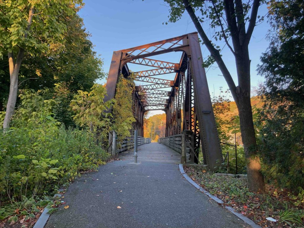
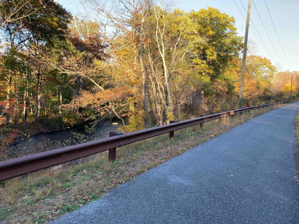
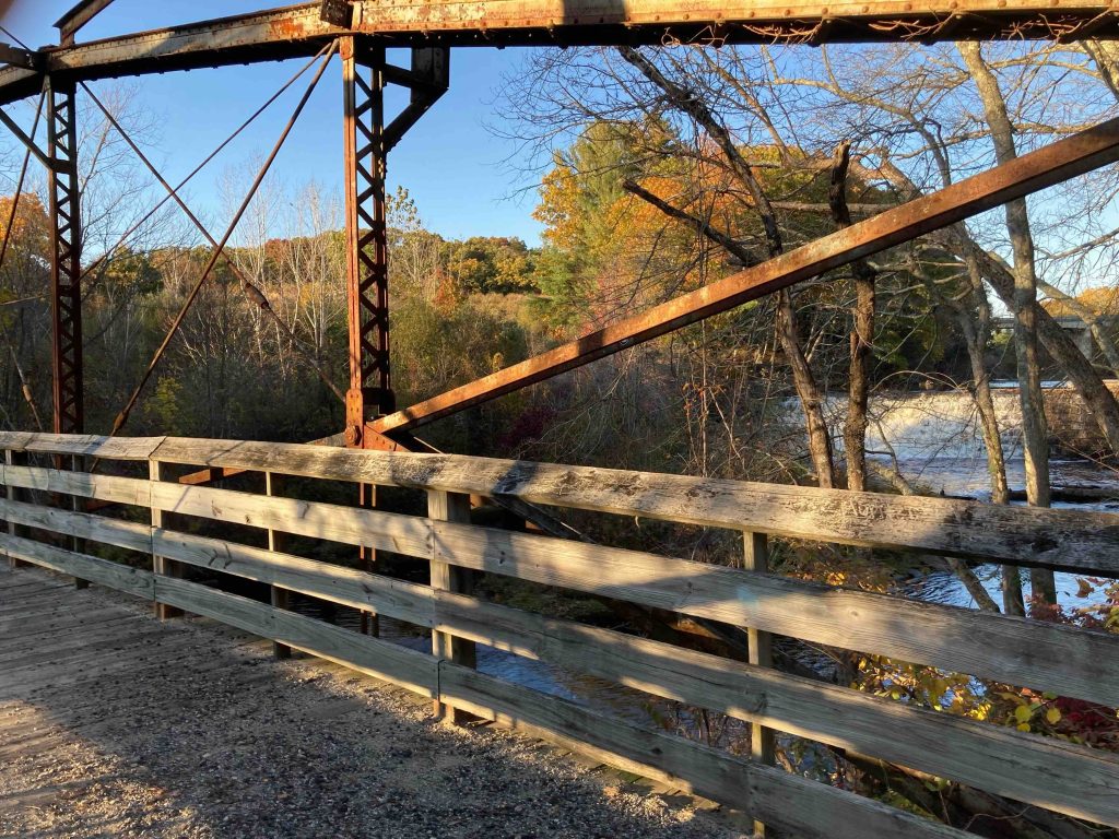
  • West End to Barber Hill Road: This section runs 0.66 miles from the parking next to Project Pin Food Pantry and a busy Dunkin’ drive through it starts crossing the Moosup River on a refurbished railroad bridge. The trail is paved asphalt surface much like the Quinebaug River Trail over in Killingly. I understand that this section was updated about a decade ago as part of the project to replace the Barber Hill Road bridge.  It also passes the Cranska Thread Mill complex and more Moosup River views.
  • Barber Hill Road to Main Street, Sterling: This section changes from paved to fairly well graded dirt with a number of muddy pits. It’s also pretty clear that ATVs and dirt bikes love to criss cross this stretch from their deep ruts.  The trail gets overgrown near Brunswick Ave, but ATV paths provide an alternate.  Just down from the trail is the Glen Falls Bridge which holds the distinction of the last surviving lenticular bridge in CT on which William Douglas’ second patent (1885) was used.  From the bridge you can get an ok view of man-made Glen Falls on the Moosup River.  The trail passes an abandoned building enters a rock cut and passes through about 2 miles of wet remote trail. You likely be able to spot an old quarry, from Sterling’s mining history about a mile in.
  • Main Street, Sterling to Route 14A: The trail should cross through the woods past Main Street but instead seems to cut through the open field to Rt. 14 the trail is kind of there but not really.  Crossing Rt 14 reenters the woods next to private property and enters more woodsy occasionally muddy occasionally gravel trail.  After about a mile you’ll cross a bridge (put in sometime around 2010?) that carries the trail over Providence Road. After which you’ll get about a 1/2 mile section of pine needle covered paved trail to Spring Lake Road.
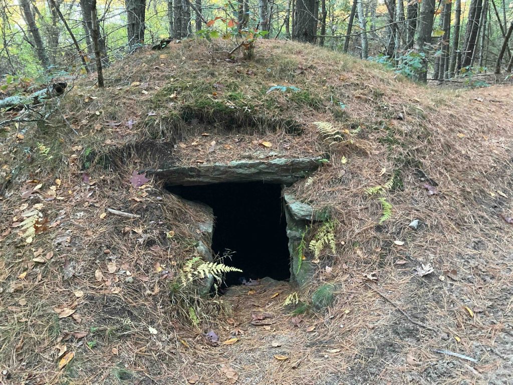
  • 14A to RI Border: This section is most like modern day Air Line Trail likely improved with help from Rhode Island it is a nice fine crushed stone trail lined with sandy pine banks.  This stretch also hides the Oneco Stone Chamber also known as the Pine Barrens Chamber about 0.17 miles from the gate.  The chamber is roughly 12′ long, 7′ wide and 5′ high and has the usual Viking origin, sacred ceremonial site, root cellar guesses as to its origins. It is interesting to note it’s similarities to Hermit Cave, both are about 1,500ft from the CT/RI border. The trail continues into Rhode Island as the Rhode Island Trestle Trail also known as the Conventry Greenway.

History:

This Rails to Trails was formerly the former New York, New Haven, and Hartford Railroad which operated along this rail bed from 1898 to 1968.

The trail became a state park in 1987.

The DOT had a plan to resurface the entire length of the trail in 2017, but still has not materialized.


Links:

Peter Marteka – Moosup Valley State Park Trail is a challenging hike with railroad history (2021)

BridgeHunter – Glen Falls Bridge (2016)

The information shown here is for general reference purposes only. exploreCT.org gives no warranty, expressed or implied, as to the accuracy or reliability of this data. Parking in all areas, whether designated here or not, is at your own risk. exploreCT.org is not responsible for any damage or loss to vehicles or contents.
Last updated October 21st, 2022

Visited 2115 times, 5 Visits today

Related Listings

Boston Turnpike Trail

★★★☆☆

145-101 CT-198, Pomfret Center, CT 06259, USA

Boston Turnpike Trail Eastford Town Park / Connecticut State Forest 104 acres in Eastford, CT Parking: Small lot near 145-101 CT-198, Pomfret, CT Trail Map     …

Seth Low Pierrepont State Park

Unexplored

41.325746, -73.500169

Seth Low Pierrepont State Park Connecticut State Park 305 acres in Ridgefield, CT Parking: Small lot near 50 Barlow Mountain Rd, Ridgefield, CT Trail Map     …

Camp Columbia State Park

★★★★☆

315 West St, Morris, CT 06763, USA

Camp Columbia Connecticut State Park / State Forest 600 acres in Morris, CT Parking: Small lot near 315 West St Morris, CT Trail Map       …