Mattabesett Trail: East Terminus

Connecticut Blue Blaze Trail

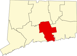
508 acres in Middletown, CT

Parking:

Trail Map        Trails: 4.8 miles       Rating: ★★☆☆☆

Screenshot


This eastern most section of the blue blaze Mattabesett Trail is also the part of the New England Trail.  It features hilly terrain, rutted ATV trails, but also a rock pile ‘cave’ and reservoir overlook views.

Hiking

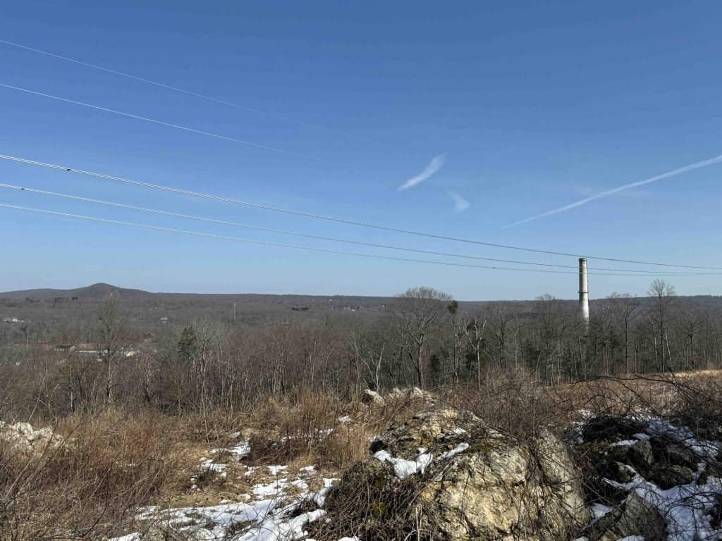
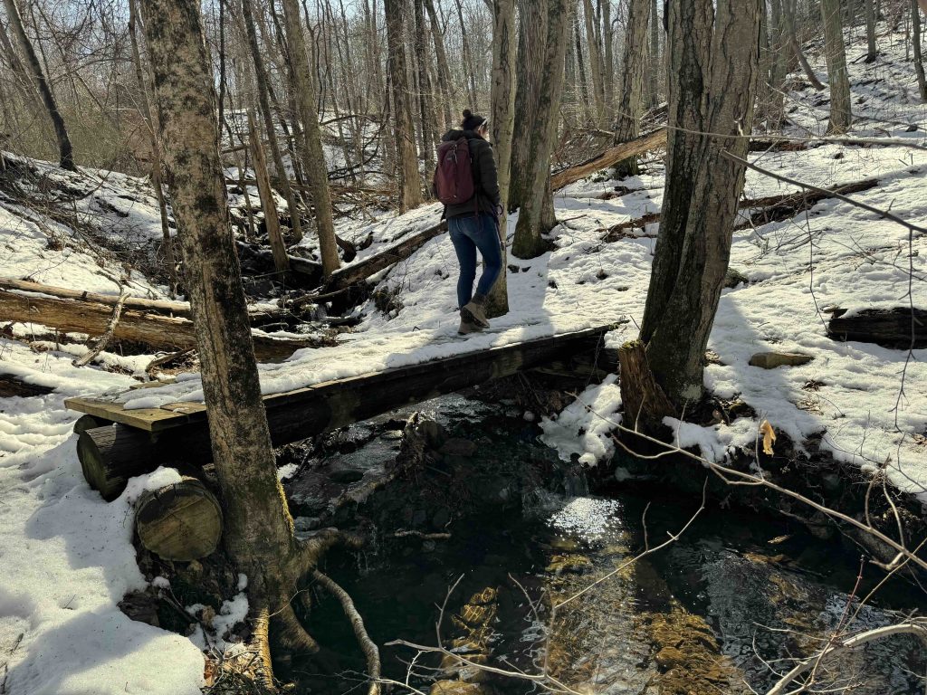
From the parking area on River Road, across from the NRG Energy Plant, the trail heads off into the woods quickly crossing a small unnamed stream.  The trail parallels the road for a good stretch before cutting east crossing occasional rutted ATV paths.

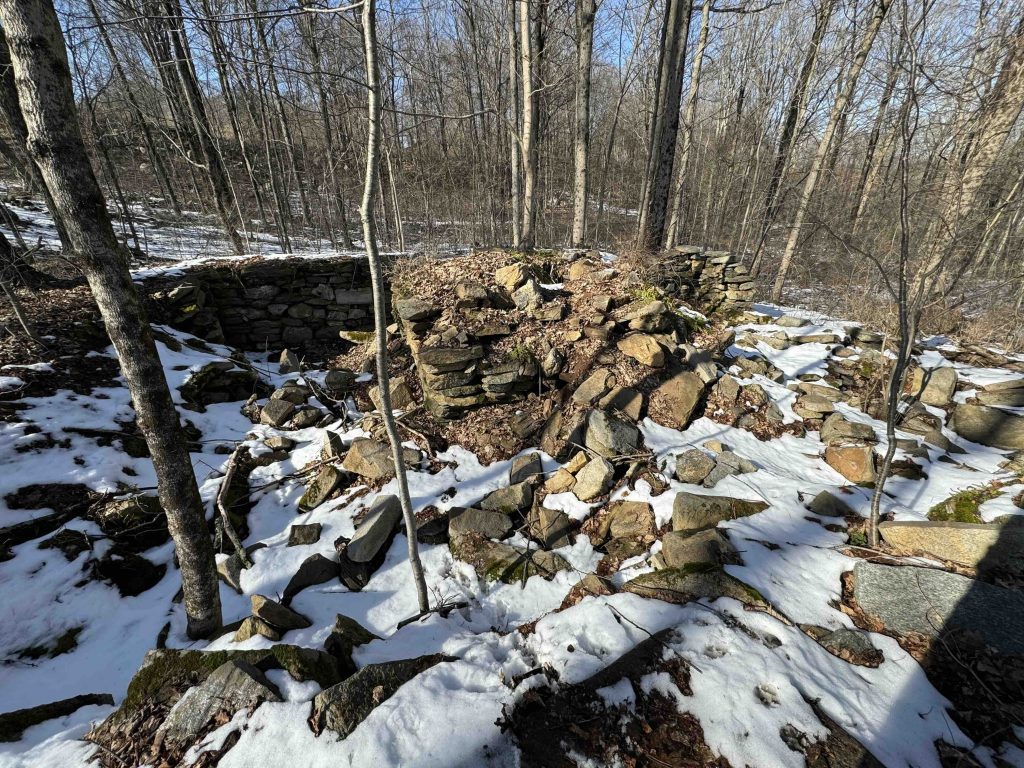
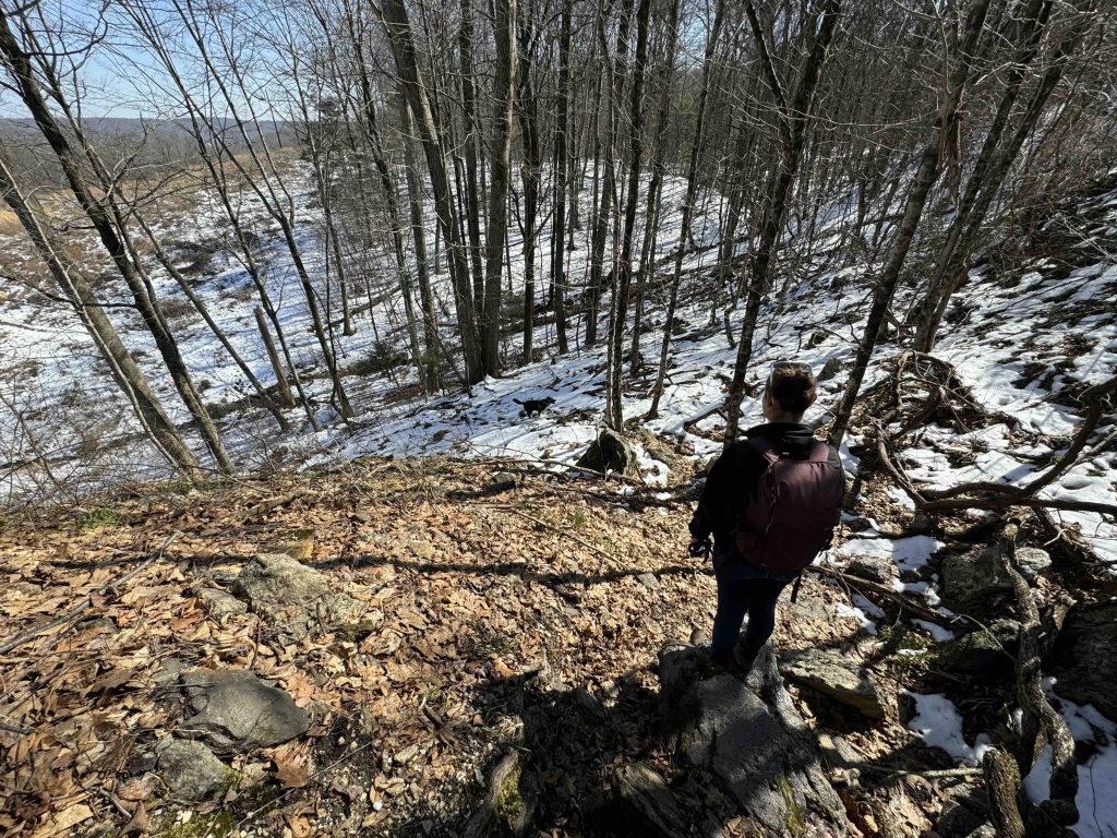
The trail climbs to a utility corridor and follows its opposite edge for a good stretch including a very steep descent.  In snowy and muddy conditions this descent is not for the faint of heart. There are some interesting rock formations in this stretch and a distant view of the Connecticut River over the trees.  After a couple more stream crossings and a couple more old woods roads you pass and old well and a homestead foundation.  These possibly date back to the Maromas section of Middletown (since they’re roughly the right area) but I don’t have any real evidence to back that up.

This first 1.5 miles or so did have a couple areas where blazing was a bit spotty causing a retrack or two particularly along the utility corridor and with crossing old woods roads.  After 1.5 miles I finally felt like I was on ‘real’ trail working through rocky forest.

Just over 3 miles into the hike is the rock pile cave and just a bit past that is the Asylum Reservoir overlook.  The trail crosses over the reservoir road and provides a loop option around the second reservoir.

Next section: Mattabesett: Bear Hill & Kätchen Coley Mountain Laurel Preserve

History:

These parcels of the Cockaponset State Forest were purchased in 1945.  The Middlesex Land Trust also purchased two parcels near the first reservoir in 2019.


Links:

The information shown here is for general reference purposes only. exploreCT.org gives no warranty, expressed or implied, as to the accuracy or reliability of this data. Parking in all areas, whether designated here or not, is at your own risk. exploreCT.org is not responsible for any damage or loss to vehicles or contents.
Last updated: February 26th, 2024

Visited 667 times, 5 Visits today

Related Listings

Nathaniel Lyon Memorial State Park

★★☆☆☆

41.847478, -72.083341

Nathaniel Lyon Memorial State Park Connecticut State Park 5 acres in Eastford, CT Parking:  Small lot along Kingsbury Rd Eastford, CT Trail Map        Trails:…

Whitestone Cliffs Trail

★★★★☆

Whitestone Cliffs Trail, Plymouth, CT, USA

Whitestone Cliffs Trail Connecticut Blue Blaze Trail and Connecticut State Forest 310 acres in Plymouth, CT Parking: Small pull-off near 331 Mt Tobe Rd, Plymouth, CT Trail…

Garnet Ledge

★★☆☆☆

155 Birch Mountain Rd, Glastonbury, CT, USA

Shenipsit: Garnet Ledge Manchester Water Co. Property, Kongscut Land Trust, and Blue Blaze Trail 1,437 acres in Glastonbury, CT Parking: North End: From Case Mountain closest parking… Read more…