Mason Hill Conservation Area

Killingly Town Park

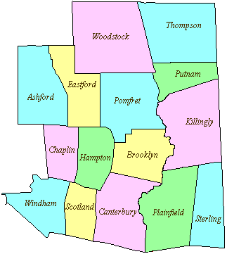
20 acres in Killingly, CT

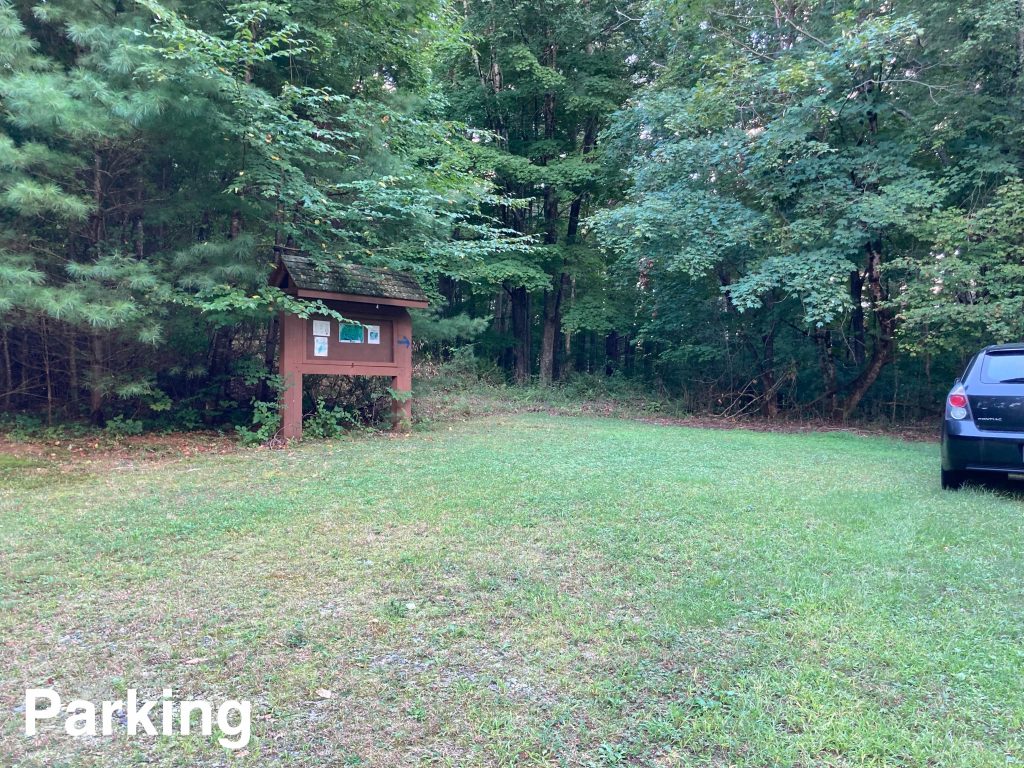
Parking: Small lot near 207 Mason Hill Rd Dayville, CT

Trail Map      Trails: 0.5 miles       Rating: ★☆☆☆☆


Note: The pictured trail map above seems to be accurate but the one on the linked brochure does not.  The linked brochure was last updated in 2019 and shows the trail connecting to the end of Quarry Road, but blazes and an arrow on the trail indicate otherwise.  I’d also guess that 2019 was the last time this trail was maintained due to the number of tree fall downs and the size of the young pines blocking the back side of the loop.  The brochure also says the trail is 0.9 miles and even with my back tracking and searching I only hit 0.65 miles.

Hiking

From the grassy parking area the trail does indeed start on either start of the trailhead kiosk even though it may not appear so.  Growth on the edge of the parking lot made the start difficult to see despite the blue arrow pointing right at the righthand start so I instead took the more obvious left side.

I immediately questioned whether this was actually the trail but thanks to my extensive experience with forgotten town trails I continued on.  A massive pine had fallen that required going out and around, but it was still only about 500ft before I thought I’d officially lost the trail.  The trail is blazed blue, but inconsistently so it required a few false starts before finding the next blaze.  The trail crosses an old drainage ditch before meeting what must be an old section of Quarry Road (but I’m guessing the quarry isn’t on the property).

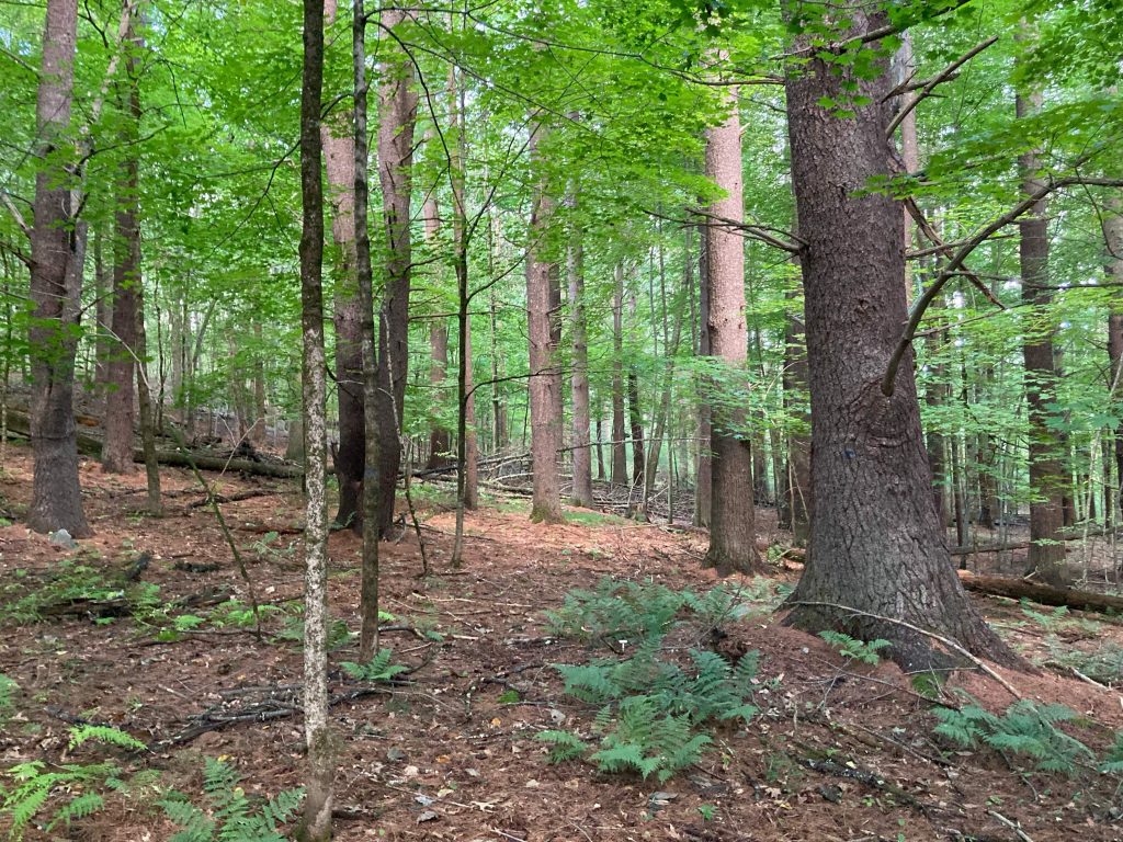
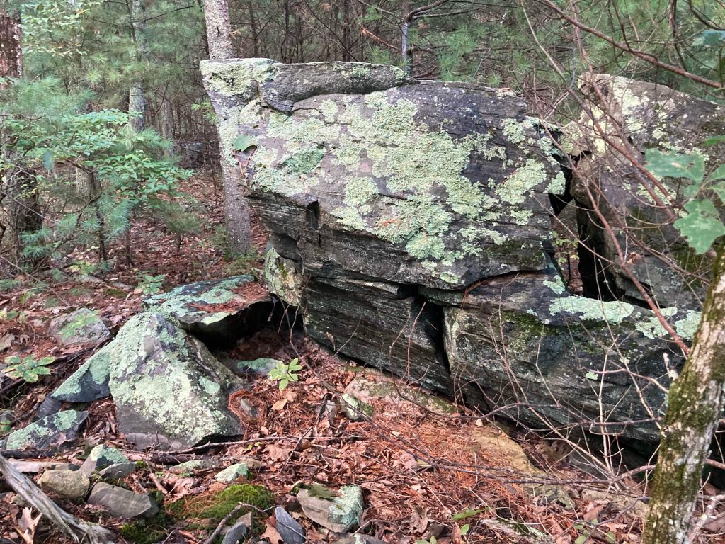
This backside of the loop was very overgrown with young pines, but walking over the smallest pines kept me on the trail.  I had to backtrack a bit to find the ‘Large Animal Cave’ indicated on the map.  No clear path led to this either so I poked around in that general area and the only thing I could find was a cool split rock next to a fallen tree.

The return portion of the loop was easier to follow though had a number of fallen trees as well and it quickly brought me right back to the parking area.

History:

In the 1700s, the land of present-day Mason Hill was part of the town’s common, undivided lands. The town preserved the property in 2002 with help from the ‘Federal Lands to Parks Program’.


Links:

The information shown here is for general reference purposes only. exploreCT.org gives no warranty, expressed or implied, as to the accuracy or reliability of this data. Parking in all areas, whether designated here or not, is at your own risk. exploreCT.org is not responsible for any damage or loss to vehicles or contents.
Last updated September 12th, 2022

Visited 1693 times, 2 Visits today

Related Listings

Fifty Foot Cliff Preserve

★★★☆☆

41.790196, -72.212954

Fifty Foot Cliff Preserve Mansfield Town Park 102 acres in Mansfield, CT Parking: Small lot behind the Mansfield Historical Society at 954 Storrs Rd, Storrs, CT or from… Read more…

Bartlett’s Tower

★★☆☆☆

133 Mountain Road, Suffield, CT, USA

Bartlett’s Tower Connecticut State Property and Simsbury Town Property 87.8 acres in Bloomfield and Simsbury, CT Parking: Small pull-off near 133 Mountain Rd, Tariffville, CT Trail Map … Read more…

Ragged Mountain

★★★★★

437 West Ln, Berlin, CT 06037, USA

Ragged Mountain Preserve Berlin Town Park 589 acres in Berlin, CT Parking: Shoulder parking near 437 West Ln, Berlin, CT Trail Map         Trails: 8.7…