Mashamoquet Brook State Park

Connecticut State Park

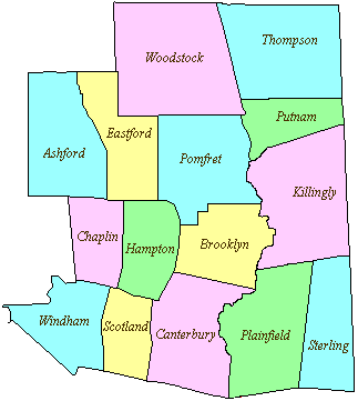
917 acres in Pomfret, CT

Parking:

Trail Map           Trails: 6.5 miles         Rating: ★★★☆☆

Table of Contents


Mashamoquet Brook State Park is the combination of three separate state parks, Mashamoquet Brook, Wolf Den, and Saptree Run.  The Park Commission Report of 1919 notes the pronunciation as ‘mush-mugget’ though modern pronunciation seems to be ‘mash-muck-it’.

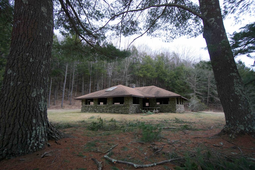
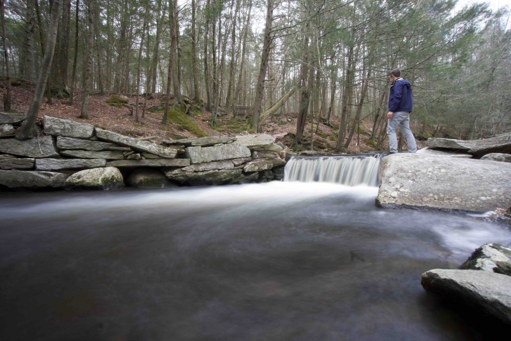
The park has a number of picnic areas along the main entrance road as well as fishing along Mashamoquet Brook (annually stocked with few hundred brook, brown, and rainbow trout).   There is a small beach and pond for swimming and across the pond is a large stone pavilion built around 1940.  The timbers for the pavilion were cut from hemlocks at Rocky Glen State Park.

Hiking

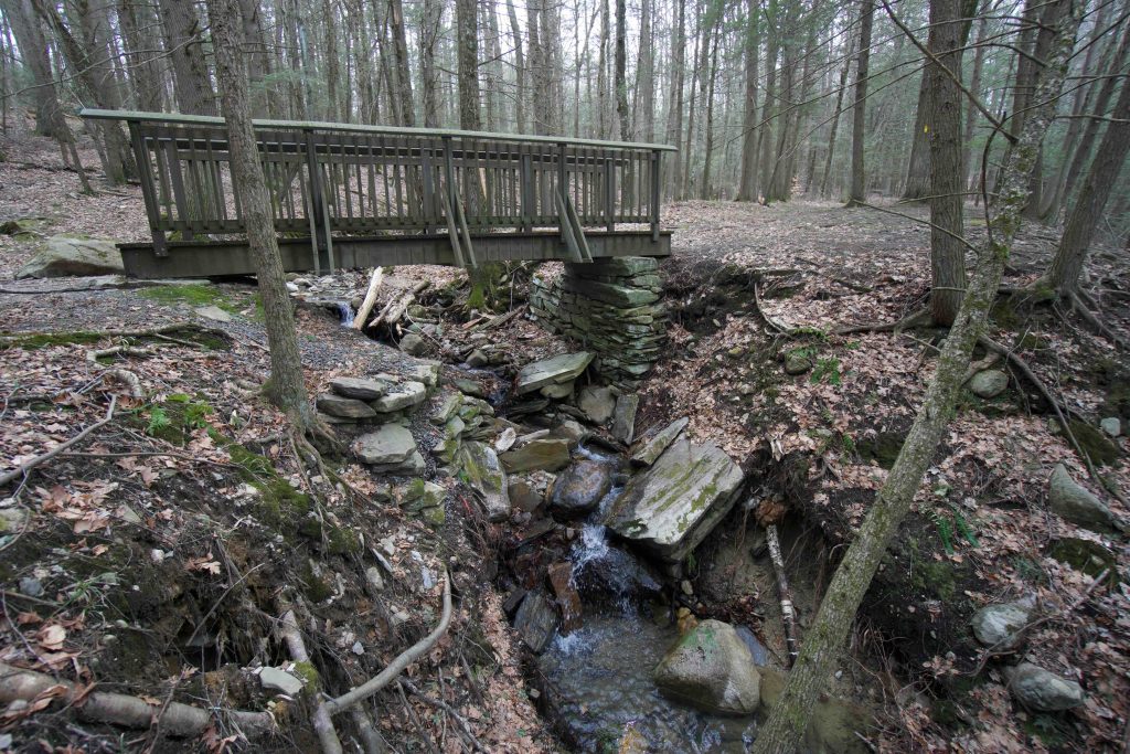
The park offers about 6.5 miles of trails.  The main trail is the outer blue blaze loop and is well traveled though it is often rough and under-maintained.  Sections of the red trails can also be overgrown.

Continuing south past Indian Chair will lead to the Pomfret Block of the Natchaug State Forest.

Cave

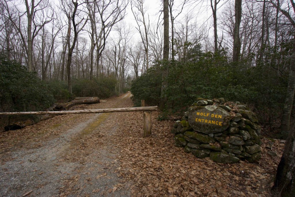
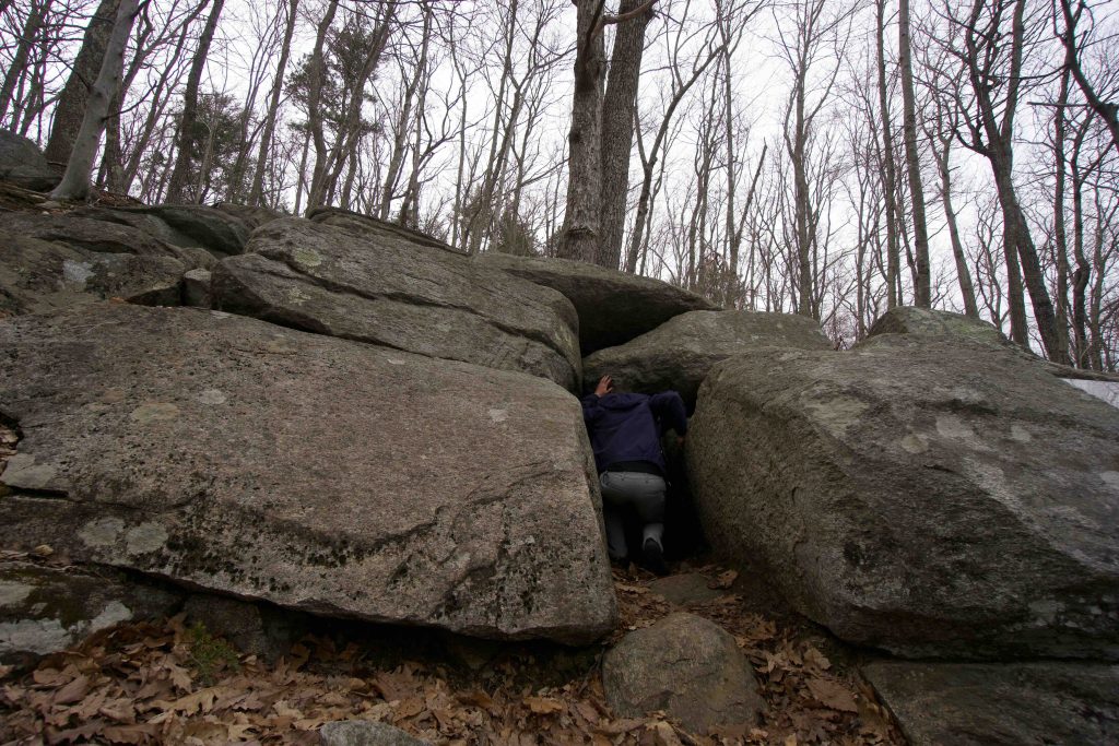
The main destination for hikers is Wolf Den cave where Israel Putnam is fabled to have killed the last wolf in Connecticut.  It is south of Wolf Den Drive and several signs point you in the right direction.  The cave is a 20ft narrow fissure into a rock ledge.  It is possible to crouch part way in but requires hands and knees at the back.  There is a plaque laid into the stone to the right of the entrance tells the story of ‘Putnam and the Wolf’ as well as its preservation at the turn of the century.

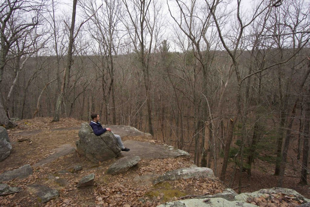
Near the den are the natural rock formations Table Rock and Indian Chair along the red trail.  Indian Chair is a stone throne similar to the one at the Whitehall Park though this one has a better view off a ledge down into the forest.  Table Rock is a large, fairly nondescript slab of stone just off the trail.

Swimming

There is a good-sized beach and a pond that is popular for swimming when the water is high. Water quality and beach status for swimming should be checked prior to visiting here.

There is also a good swimming hole or two in the actual Mashamoquet Brook.

Camping

There are two separate camping sections Mashamoquet Campground and Wolf Den Campground.  Both can be reserved through Reserve America here.  Sites start at $14.00 per night.

The Mashamoquet Campground has 20 sites and has compost toilets but no access to running water.  The Wolf Den Campground has 35 campsites, with restrooms, showers, drinking water, and a dumping station.

Geology

Pomfret’s rock formations are older as you walk downstream from west to east.  The bedrock starts as Eastford Gneiss (350 million years old) and most of the state park land is Canterbury Gneiss (no exact date age).  The state park sits in a wide ravine and was at one point long ago the largest lake in the area

History:

The name Mashamoquet means “at the important fishing place” and was part of the tract known as the “the Mashamoquet Purchase” dating back to 1708, on which Pomfret was settled.

Mashamoquet State Park is a combination of three parks: Mashamoquet Brook, Wolf Den, and Sap Tree Run.  I don’t have an official date for when they combined.  The impetus of the park was a donation by Sarah Fay, a Pomfret resident who donated 12 acres of the brook and ravine.

Sarah Fay and a Mr. J Bowditch also donated the original 4 acres at Sap Tree Run.  The area was named for its many sugar maples and the plan was to develop it as one of the state’s Wayside Park service stations with the goal of eventually combining it with Mashamoquet.

State Land Acquisitions:

  • 1918 – The state purchased land around the original donations to bring the total to 71 acres
  • 1924 – 363 acres at Wolf Den purchased from the Daughters of the American Revolution (who sold it for the price they originally paid to preserve it in 1899)
  • 1925 – Additional land purchase brought the property to 425 acres
  • 1930 – Brayton Gristmill property was purchased
  • 1957 – the 148 acre Hotchkins Wolf Den Farm parcel was added to bring the current total.

Wolf Den is the site of Revolutionary War Hero Israel Putnam’s slaying of the last wolf in Connecticut in 1742. The most popular version of the story is from David Humphrey’s 1788 biography of Putnam which recalls,

“a female wolf had for several years devastated the flocks and herds of Pomfret. One night the wolf killed seventy sheep on the farm of Israel Putnam, who had recently moved to the sparsely settled area from Danvers, Massachusetts. Putnam and some others set out to track down the wolf, in one trek following her to the Connecticut River and back, whereupon she took refuge in this cave. Unable to get either his dog or his black slave to flush out the beast, Putnam himself entered the cave with torch in hand, discovered the wolf, shot her, and was pulled out with the body in tow by a rope tied to his ankles. Putnam’s courage won for him the admiration of the townspeople and established his reputation for bravery in the face of unknown odds.”

The plaque at the entrance of the den tells a version of this story and was originally placed by the E. P. Putnam Chapter of the Daughters of the American Revolution in 1920.  The site was added to the National Register of Historic Places on May 2nd, 1985.

Mashamoquet Brook was used by at least 20 mills during the 19th and 20th centuries and within the state park you can find stonework foundations along the water.  One of these is still standing mill at the entrance to the state park one of the best-preserved and most complete nineteenth-century mills in the state. The red barn-style building was the Brayton Grist Mill built around 1800 and in use until 1928.  It was added to the National Register of Historic Places in 1986.  Today it operated by the Pomfret Historical Society as the Brayton Grist Mill & Marcy Blacksmith Museum Its hours are Sundays 2-5pm.


The information shown here is for general reference purposes only. exploreCT.org gives no warranty, expressed or implied, as to the accuracy or reliability of this data. Parking in all areas, whether designated here or not, is at your own risk. exploreCT.org is not responsible for any damage or loss to vehicles or contents.
Last updated Jan. 23, 2019

Visited 4276 times, 1 Visits today

Related Listings

Spignesi WMA

★☆☆☆☆

41.712963, -72.067512

James V. Spignesi Jr. WMA Connecticut Wildlife Management Area 524 acres in Scotland, CT Parking: Medium sized lot near 210 Pudding Hill Road, Hampton, CT Area Map …

Captain George Comer Memorial State Park

★★☆☆☆

41.470236, -72.407336

Captain George Comer Memorial State Park / Harris Reserve Connecticut State Park / East Haddam Land Trust 1.8 acres in East Haddam, CT Parking: Small lot near…

Cole W. Wilde Trout Management Area

★★☆☆☆

41.89399, -72.29749

Cole W. Wilde Trout Management Area Connecticut State Forest in Willington and Tolland, CT Parking: At the I-84 Westbound rest stop in Willington, CT Trail Map   … Read more…